Arnager
Located in Bornholm Kommune, Capital Region Coordinates: 55°03′14″ N 14°46′44″ E
- Elevation
- 14 m
- above sea level
- Local time
- UTC+01:00
- Europe/Copenhagen · UTC+01:00
About Arnager
Arnager is a village. Location: Bornholm Kommune, Capital Region. Elevation: 14 m.
Arnager is a small fishing village in Rønne parish, Bornholm island, Denmark. It is approximately 3 kilometres (1.9 mi) southwest of Nylars, about 8 kilometres (5.0 mi) southeast of Rønne, and approximately 3 kilometres (1.9 mi) southeast of Bornholm Airport. Its population in 2010 was 151 residents. Arnager Bay is east of Arnager. According to Bornholm Place Names, Arnager was first mentioned in 1552 as "Arenack" in one of the Chancery letter books. The harbor was built in 1883 by H. Zahrtmann.
Read more on Wikipedia Text: Wikipedia contributors · CC BY-SA 4.0 · shortened
In comparison
Nearby attractions & nature
Everything nearby-
Antoinette Beach, Bornholm Kommune8.9 km NW
-
Svartingedal Natural site, Bornholm Kommune15 km N
-
Kløven Natural site, Bornholm Kommune16 km N
-
Stjernehøj Mountain, Bornholm Kommune18 km N
-
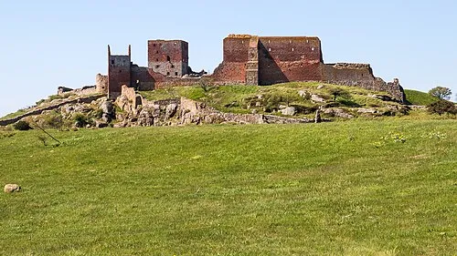 Hammershus Historic site, Bornholm Kommune24 km N
-
Egeshøj Mountain, Bornholm Kommune19 km N
Sources & licences
Data last updated: · 2 independent sources