Hammershus
Located in Bornholm Kommune, Capital Region Coordinates: 55°16′15″ N 14°45′19″ E
- Local time
- UTC+01:00
- Europe/Copenhagen · UTC+01:00
- Elevation
- 67 m
- above sea level
About Hammershus
Hammershus is a historic site. Location: Bornholm Kommune, Capital Region.
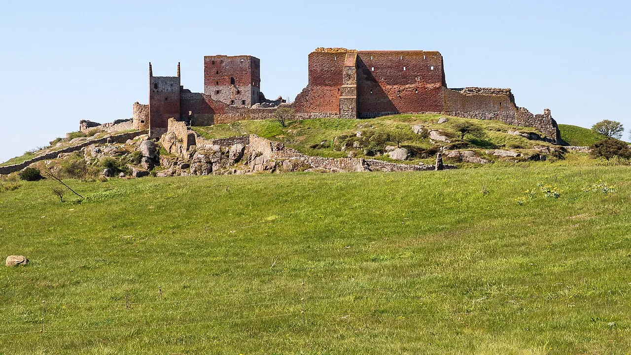
Hammershus is a medieval era fortification at Hammeren on the northern tip of the Danish island of Bornholm. The fortress was partially demolished around 1750 and is now a ruin. It was partially restored around 1900.
Read more on Wikipedia Text: Wikipedia contributors · CC BY-SA 4.0 · shortened
At a glance
- Built
- c. 1200
- Heritage designation
- protected ancient monument in Denmark
Source: Wikidata
In comparison
- 4 sights and natural places within 10 km Finnedalen, Egeshøj
Nearby attractions & nature
Everything nearby-
Finnedalen Natural site, Bornholm Kommune2 km S
-
Egeshøj Mountain, Bornholm Kommune5.8 km S
-
Stjernehøj Mountain, Bornholm Kommune8.3 km SE
-
Svartingedal Natural site, Bornholm Kommune9.2 km S
-
Kløven Natural site, Bornholm Kommune10 km SE
-
Antoinette Beach, Bornholm Kommune17 km S
Nearest towns and villages
Sources & licences
Data last updated: · 2 independent sources