Charlottenlund
Located in Gentofte Kommune, Capital Region Coordinates: 55°45′09″ N 12°34′28″ E
- Population
- 40,000
- 40K
- Elevation
- 14 m
- above sea level
- Local time
- UTC+01:00
- Europe/Copenhagen · UTC+01:00
About Charlottenlund
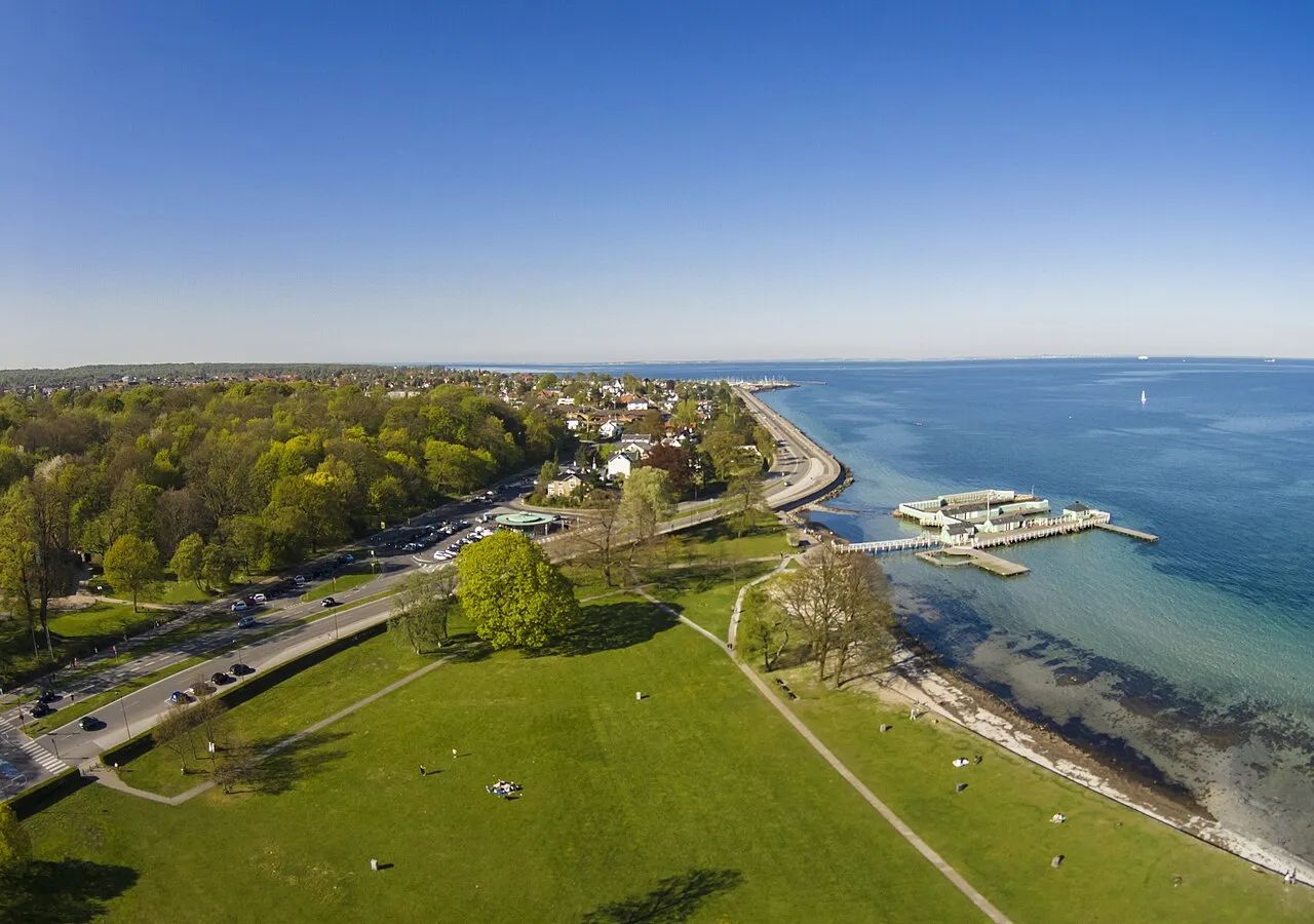
Charlottenlund is a city. Location: Gentofte Kommune, Capital Region. Population: 40,000. Elevation: 14 m.
Charlottenlund is a suburban area on the coast north of Copenhagen, Denmark. It is the administrative seat of Gentofte Municipality. Bordered to the east by the Øresund, to the South by Hellerup and to the north by Klampenborg, it is one of the wealthiest areas in Denmark. The neighbourhood takes its name after Charlottenlund Palace.
Read more on Wikipedia Text: Wikipedia contributors · CC BY-SA 4.0 · shortened
In comparison
- Nearest larger town: Frederiksberg, 9 km S
- 13 sights and natural places within 10 km Ulvedale, The Little Mermaid
Nearby attractions & nature
Everything nearby-
Ulvedale Natural site, Lyngby-Tårbæk Kommune3.2 km N
-
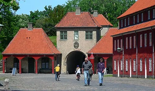 Kastellet Historic site, Indre By6.9 km S
-
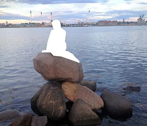 The Little Mermaid Landmark, Indre By6.8 km S
-
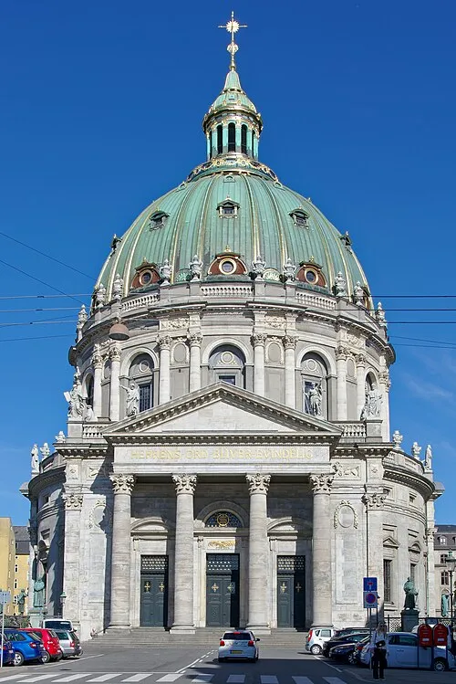 Frederik's Church Attraction, Indre By7.6 km S
-
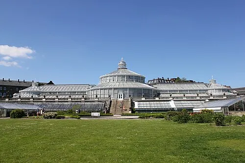 University of Copenhagen Botanical Garden Attraction, Indre By7.2 km S
-
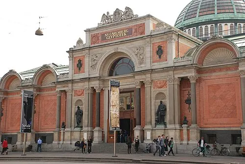 Ny Carlsberg Glyptotek Museum, Indre By8.9 km S
-
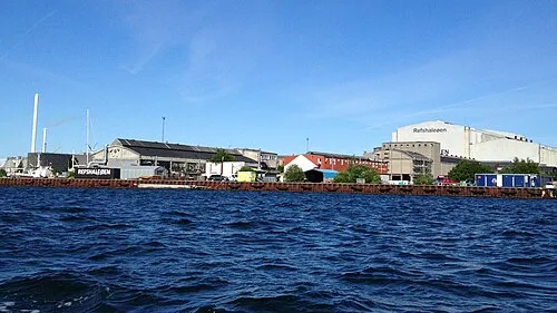 Refshaleøen Island, Copenhagen municipality7.1 km S
-
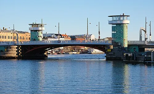 Knippelsbro Landmark, Indre By8.7 km S
Sources & licences
Data last updated: · 2 independent sources