Knippelsbro
Located in Indre By, Copenhagen municipality Coordinates: 55°40′29″ N 12°35′13″ E
- Local time
- UTC+01:00
- Europe/Copenhagen · UTC+01:00
- Elevation
- 4 m
- above sea level
- Airports
- CPH Copenhagen Kastrup Airport8 km
- RKE Copenhagen Roskilde Airport30 km
About Knippelsbro
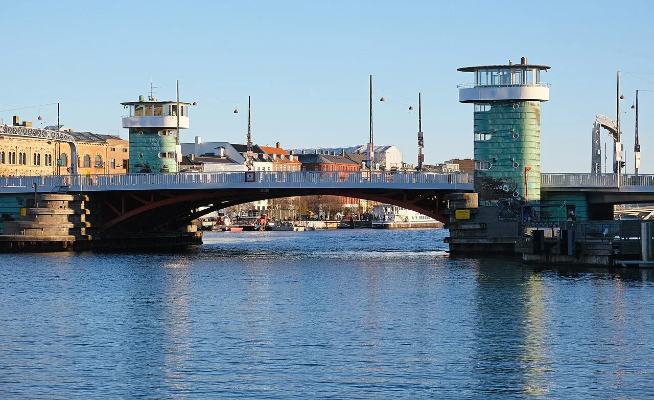
Knippelsbro is a landmark. Location: Indre By, Copenhagen municipality.
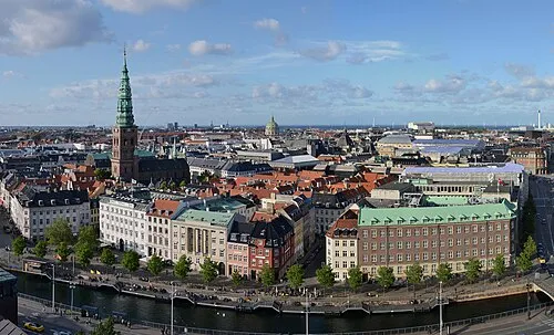
Knippelsbro (English: Knippel Bridge) is a bascule bridge across the Inner Harbour of Copenhagen, Denmark, connecting Børsgade (English: Stock Exchange Street) on Zealand-side Slotsholmen to Torvegade (English: Market Street) on Christianshavn. It is one of only two bridges to carry motor vehicles across the harbour in central Copenhagen, the other being Langebro. The bridge, the fifth on the site, is 115 metres long and was inaugurated in 1937.
Source: Wikipedia · CC BY-SA 4.0
At a glance
- Built
- 1937
- Opened
- 1937
- Heritage designation
- monument on Kulturstyrelsen register
- Height
- 16 m
- Length
- 0.1 km
Source: Wikidata
Photos of Knippelsbro
-

Stig Nygaard · CC BY 2.0 -

News Oresund · CC BY 2.0 -

Guillaume Baviere from Uppsala, Sweden · CC BY-SA 2.0 -

Jenny Andersson / News Oresund · CC BY 2.0 -

Unknown author Unknown author · Public domain


Climate of Knippelsbro
Best months for sightseeingBest months for sightseeing: June–August.
This month · November
A cold month
Day 7° · Night 3° · Rain 58 mm
- Hottest month
- July (day 21°)
- Coldest month
- February (night -1°)
- Wettest month
- September (66 mm)
- Driest month
- February (31 mm)
Bars: average monthly low and high temperature. Below: precipitation. Monthly averages for 1970–2000 at about 18 km resolution, adjusted for elevation. Highlighted months are mild and relatively dry. Source: WorldClim 2.1 (CC BY 4.0).
Show values as a table
| Month | Jan | Feb | Mar | Apr | May | Jun | Jul | Aug | Sep | Oct | Nov | Dec |
|---|---|---|---|---|---|---|---|---|---|---|---|---|
| Average high (°C) | 3° | 3° | 5° | 10° | 16° | 19° | 21° | 21° | 16° | 12° | 7° | 5° |
| Average low (°C) | -1° | -1° | 0° | 3° | 8° | 11° | 13° | 13° | 10° | 7° | 3° | 0° |
| Precipitation (mm) | 49 | 31 | 44 | 39 | 42 | 56 | 58 | 54 | 66 | 58 | 58 | 57 |
How to get to Knippelsbro
The nearest airport is Copenhagen Kastrup Airport (CPH), 8 km to the southeast as the crow flies. The nearest large city is Copenhagen, 1 km to the west.
Airports
- Copenhagen Kastrup Airport (CPH) Copenhagen 8 kmsoutheast
- Copenhagen Roskilde Airport (RKE) Roskilde 30 kmwest
- Malmö Sturup Airport (MMX) Malmö 52 kmeast
Nearby large cities
- Copenhagen Population: 1.2M 1 kmwest
- Malmö Population: 362.1K 27 kmeast
- Helsingborg Population: 104.2K 42 kmnorth
- Odense Population: 180.9K 142 kmwest
- Aarhus Population: 285.3K 158 kmwest
Straight-line distances; road distances are longer. Airport data: OurAirports.
Day trips from Knippelsbro
Within 100 km: 22 historic and cultural sites, 77 natural sites, 54 lakes, rivers and coasts.
0–25 km20 places
- Amager Island 7 kmS
- Fisketorvet Havnebad Beach 2 kmSW
- Refshaleøen Island 3 kmNE
- Dokøen Island 1 kmNE
25–60 km54 places
- Sjælland Island 56 kmW
- Gislövs Strandmark Beach 57 kmSE
- Solbakken Naturistcamping - beach Beach 47 kmW
- Dynan Island 27 kmSE
60–100 km79 places
- Trolddal Natural site 81 kmW
- Store Vrøj Beach 89 kmW
- Næsbystrand Beach 92 kmW
- Dalbystrand Beach 93 kmW
Straight-line distances.
Nearby attractions & nature
Everything nearby-
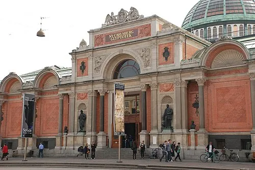 Ny Carlsberg Glyptotek Museum, Indre By1 km W
-
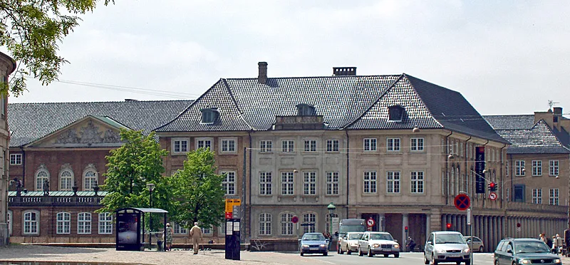 Danish national museum Museum, Indre By0.8 km W
-
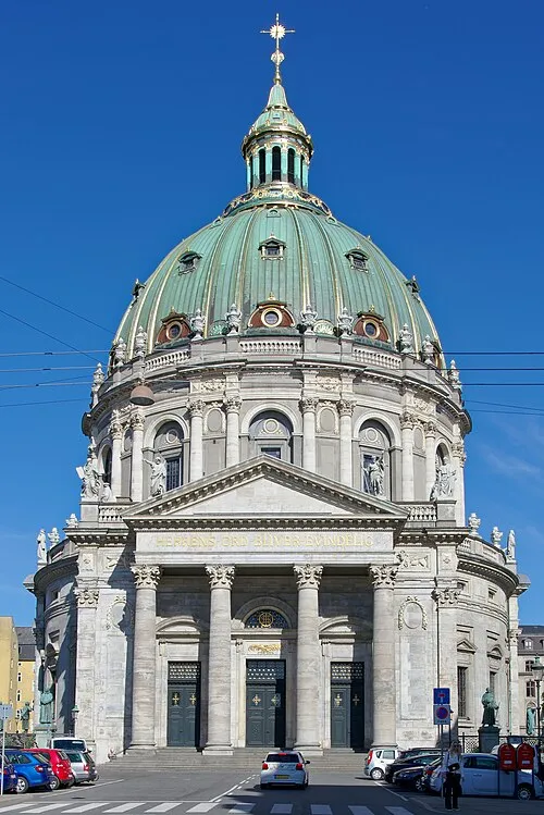 Frederik's Church Attraction, Indre By1.2 km N
-
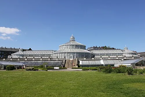 University of Copenhagen Botanical Garden Attraction, Indre By1.7 km NW
-
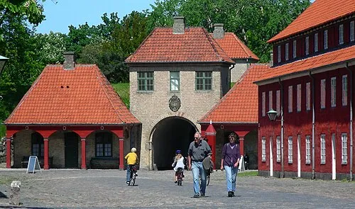 Kastellet Historic site, Indre By1.9 km N
-
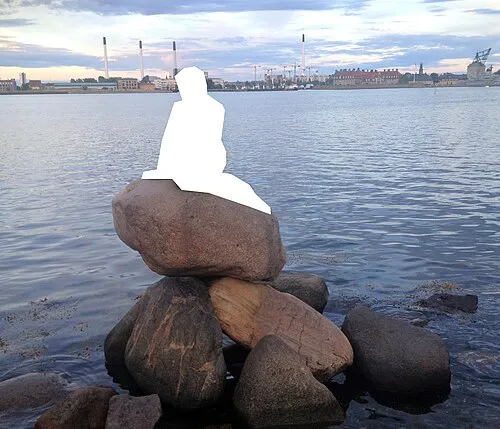 The Little Mermaid Landmark, Indre By2.1 km N
-
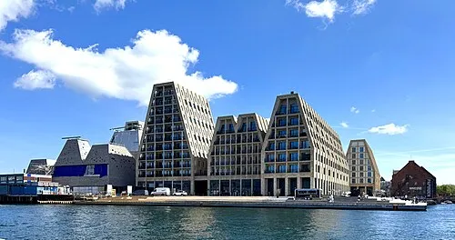 Christiansholm Island, Copenhagen municipality0.9 km NE
-
Dokøen Island, Copenhagen municipality1.2 km NE
Nearest towns and villages
-
Christianshavn Neighbourhood, Indre By0.5 km E
-
Inner City of Copenhagen Neighbourhood, Indre By0.9 km W
-
 Copenhagen City, Copenhagen municipality1.4 km W
-
Freetown Christiania Neighbourhood, Indre By0.7 km E
Sources & licences
Data last updated: · 2 independent sources