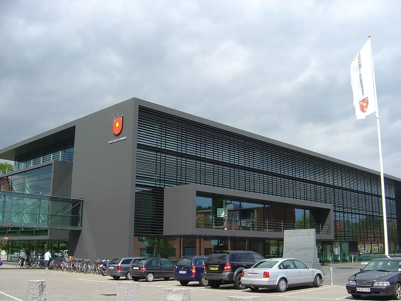
Glostrup Municipality
Located in Glostrup Kommune, Capital Region Coordinates: 55°40′00″ N 12°24′14″ E
- Population
- 23,128
- 23.1K
- Elevation
- 18 m
- above sea level
- Local time
- UTC+01:00
- Europe/Copenhagen · UTC+01:00
About Glostrup Municipality
Glostrup Municipality is a city. Location: Glostrup Kommune, Capital Region. Population: 23,128. Elevation: 18 m.
Glostrup is a Danish town in Region Hovedstaden, forming one of the western suburbs of Copenhagen. It is the administrative seat of Glostrup Municipality, with an estimated population of 23,540 as of 2024. During the 20th century Glostrup developed from a small railroad town into a modern middle class suburb. The population reached a peak during the 1970s flight from central Copenhagen, but has since stabilized.
Read more on Wikipedia Text: Wikipedia contributors · CC BY-SA 4.0 · shortened
In comparison
- Nearest larger town: Albertslund, 3 km SW
- 2 sights and natural places within 10 km Valhøj, Helgeshøj
Nearby attractions & nature
Everything nearby-
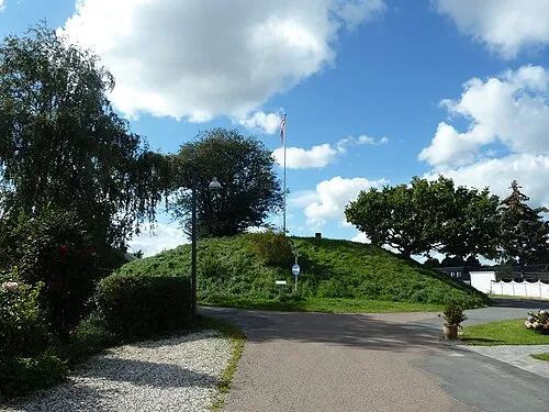 Valhøj Mountain, Rødovre Kommune3.5 km E
-
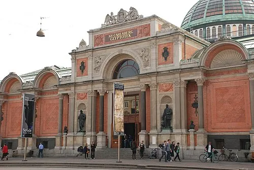 Ny Carlsberg Glyptotek Museum, Indre By11 km E
-
Helgeshøj Mountain, Høje-Taastrup Kommune8.1 km W
-
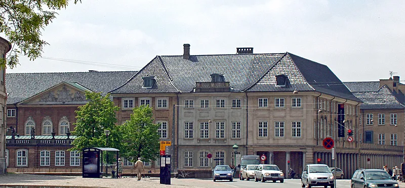 Danish national museum Museum, Indre By11 km E
-
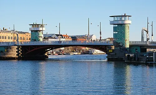 Knippelsbro Landmark, Indre By12 km E
-
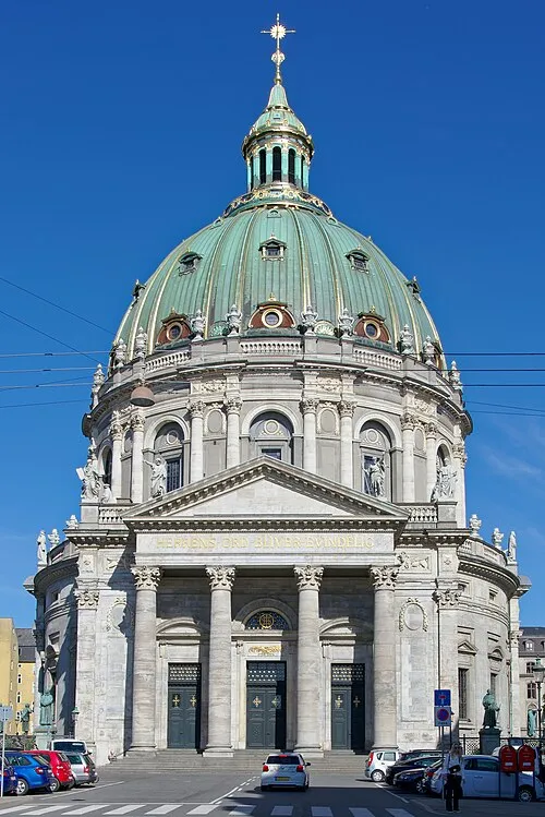 Frederik's Church Attraction, Indre By12 km E
-
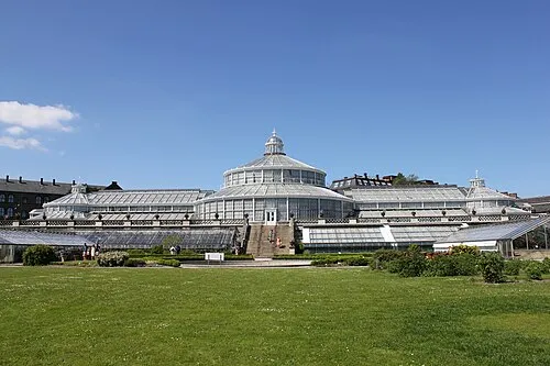 University of Copenhagen Botanical Garden Attraction, Indre By11 km E
-
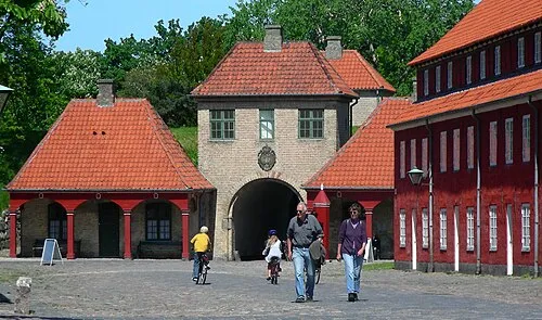 Kastellet Historic site, Indre By12 km E
Sources & licences
Data last updated: · 2 independent sources