Taastrup
Located in Høje-Taastrup Kommune, Capital Region Coordinates: 55°39′00″ N 12°18′06″ E
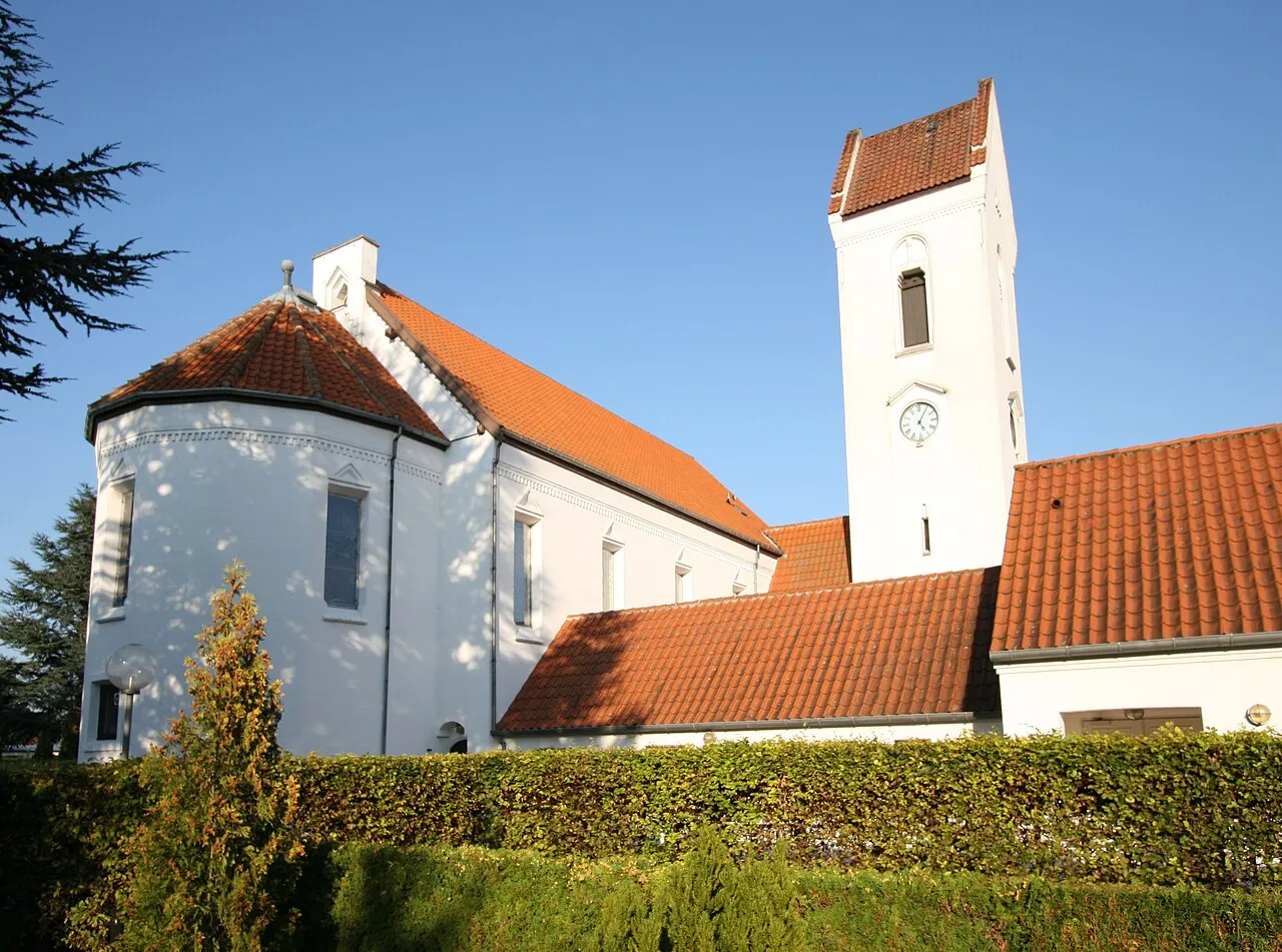
- Population
- 35,238
- 35.2K
- Elevation
- 15 m
- above sea level
- Local time
- UTC+01:00
- Europe/Copenhagen · UTC+01:00
About Taastrup
Taastrup is a city. Location: Høje-Taastrup Kommune, Capital Region. Population: 35,238. Elevation: 15 m.
Taastrup (or Tåstrup) (Danish pronunciation: [ˈtsʰɒstʁɔp]) is a Danish railway town and suburb of Copenhagen – 18 km west of Copenhagen's city centre. The town forms a twin urban area with neighbouring suburb Høje Taastrup, Taastrup rising since 1859 and Høje Taastrup rising west of the town, since the 1970s. The town/suburb development has engulfed the villages of Taastrup Valby, Høje Taastrup, Kragehave and Klovtofte, although Høje Taastrup still has a preserved village character around Høje Taastrup Church.
Read more on Wikipedia Text: Wikipedia contributors · CC BY-SA 4.0 · shortened
At a glance
- Area
- 78.4 km²
Source: Wikidata
In comparison
- Most populous of 3 places in Høje-Taastrup Kommune
- Nearest larger town: Greve, 7 km S
- 2 sights and natural places within 10 km Helgeshøj, Maglehøj
Airports nearest to Taastrup
- Copenhagen Roskilde Airport (RKE) Roskilde 13 km
- Copenhagen Kastrup Airport (CPH) Copenhagen 23 km
- Malmö Sturup Airport (MMX) Malmö 69 km
Straight-line distance; airports with scheduled flights only. Source: OurAirports (public domain).
Nearby attractions & nature
Everything nearby-
Helgeshøj Mountain, Høje-Taastrup Kommune2.1 km NW
-
Maglehøj Mountain, Høje-Taastrup Kommune8.7 km SW
-
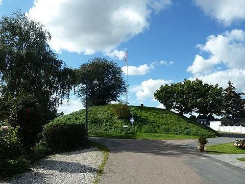 Valhøj Mountain, Rødovre Kommune10 km E
-
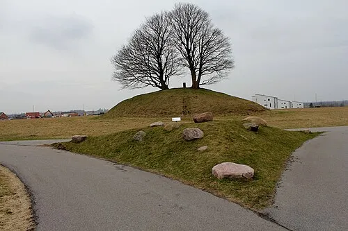 Kong Svends Høj Mountain, Egedal Kommune11 km N
-
 Ny Carlsberg Glyptotek Museum, Indre By17 km E
-
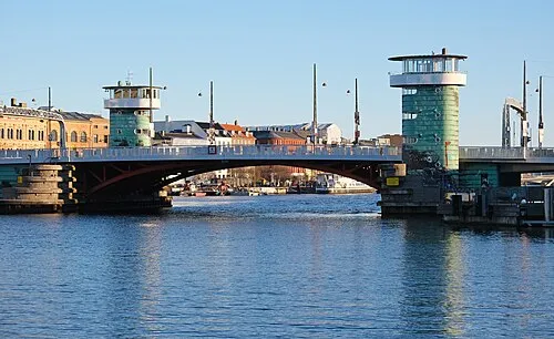 Knippelsbro Landmark, Indre By18 km E
-
 Frederik's Church Attraction, Indre By19 km E
-
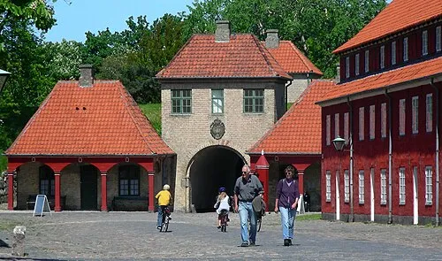 Kastellet Historic site, Indre By19 km E
Sources & licences
Data last updated: · 2 independent sources