Ballehage
Located in Aarhus Kommune, Central Jutland Coordinates: 56°07′15″ N 10°13′32″ E
- Elevation
- 1 m
- above sea level
- Local time
- UTC+01:00
- Europe/Copenhagen · UTC+01:00
About Ballehage
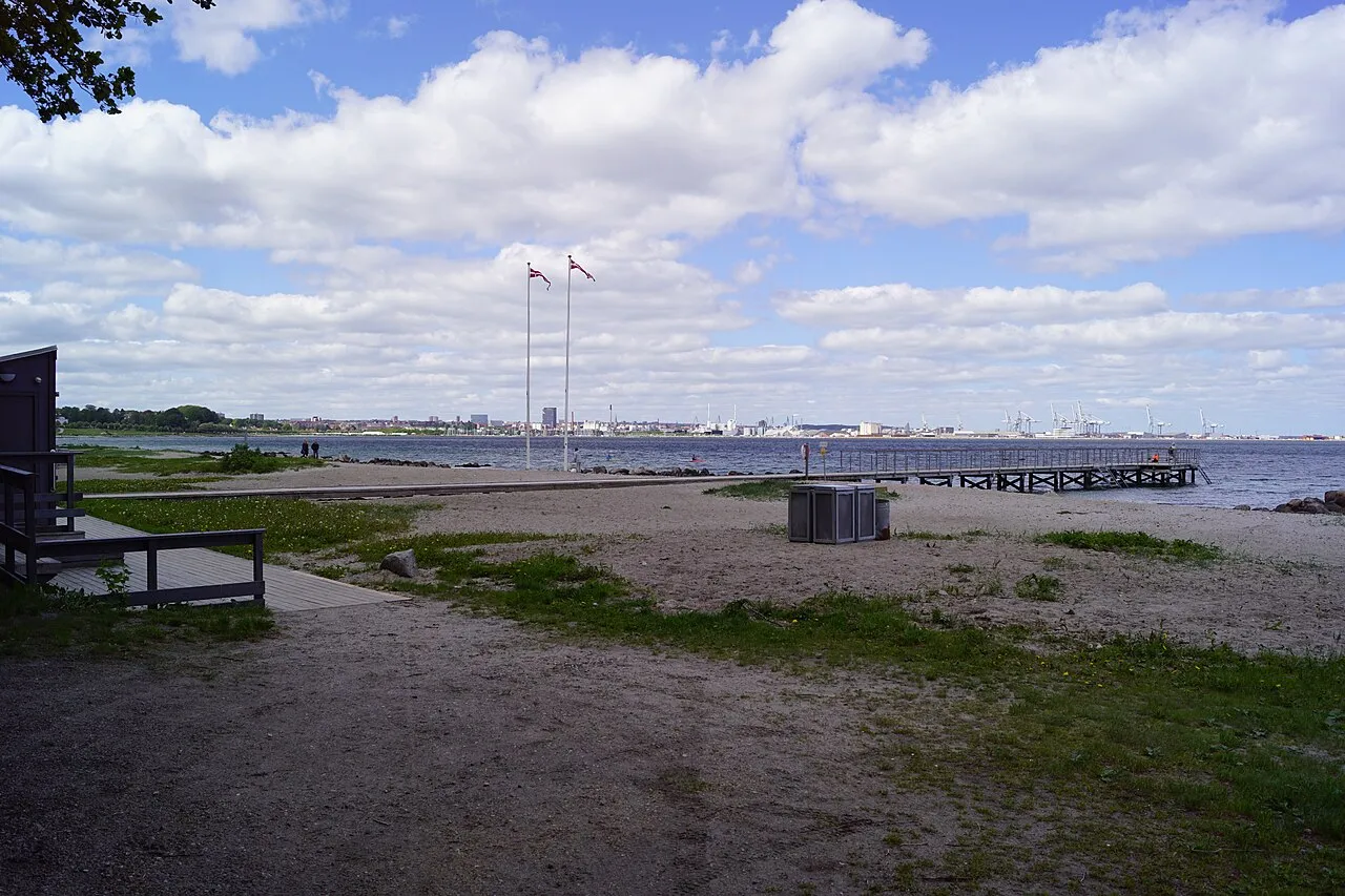
Ballehage is a beach. Location: Aarhus Kommune, Central Jutland.
Ballehage Beach is an urban, public beach in the southern parts of Aarhus, Denmark and since 1929 it has been one of the oldest sea baths in Denmark. Ballehage Beach is situated in the Marselisborg Forests on the Bay of Aarhus in the suburb of Højbjerg, south of Marselisborg Yacht Harbour and the Aarhus River mouth. Helgenæs lies across the bay to the east, a bit inland to the west is the Marselisborg Deer Park and to the north is the Varna Palace.
Read more on Wikipedia Text: Wikipedia contributors · CC BY-SA 4.0 · shortened
In comparison
- 2 sights and natural places within 10 km Højbjerg, The Old Town Museum
Nearest towns and villages
Nearby attractions & nature
Everything nearby-
Højbjerg Mountain, Aarhus Kommune0.7 km SW
-
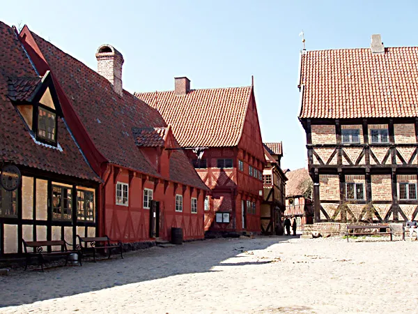 The Old Town Museum Museum, Aarhus Kommune4.8 km NW
-
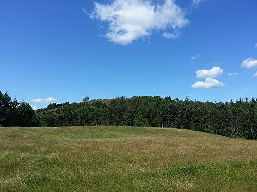 Ellemandsbjerg Mountain, Syddjurs Kommune19 km E
-
Bavnehøj Mountain, Syddjurs Kommune24 km NE
-
Hopshøj Mountain, Skanderborg Kommune25 km W
-
Findal Natural site, Odder Kommune15 km SW
-
Rønnen Island, Syddjurs Kommune18 km E
-
Borum Eshøj Mountain, Favrskov Kommune18 km NW
Sources & licences
Data last updated: · 2 independent sources