Højbjerg
Located in Aarhus Kommune, Central Jutland Coordinates: 56°06′40″ N 10°12′36″ E
- Elevation
- 69 m
- above sea level
- Local time
- UTC+01:00
- Europe/Copenhagen · UTC+01:00
About Højbjerg
Højbjerg is a village. Location: Aarhus Kommune, Central Jutland. Elevation: 69 m.
Højbjerg is a postal district of Aarhus, Denmark. Højbjerg originated as a coastal suburb to the south of Aarhus, but has now completely merged with the city. Højbjerg is located 5 km from the city centre and had a population of 22,000 in 2005. Skåde, Holme and Fredensvang are neighbourhoods within and subdivisions of Højbjerg. The historic manor of Moesgård and the related estate, including the Moesgård Museum and parts of the Marselisborg Forests are all situated in Højbjerg.
Read more on Wikipedia Text: Wikipedia contributors · CC BY-SA 4.0 · shortened
In comparison
- Nearest larger town: Viby J, 4 km W
- 3 sights and natural places within 10 km Højbjerg, Ballehage
Nearby attractions & nature
Everything nearby-
Højbjerg Mountain, Aarhus Kommune0.7 km NE
-
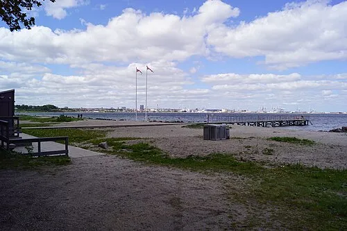 Ballehage Beach, Aarhus Kommune1.5 km NE
-
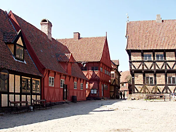 The Old Town Museum Museum, Aarhus Kommune5.5 km N
-
Findal Natural site, Odder Kommune13 km SW
-
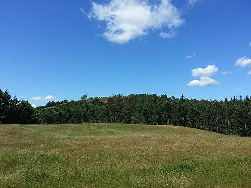 Ellemandsbjerg Mountain, Syddjurs Kommune20 km E
-
Hopshøj Mountain, Skanderborg Kommune24 km W
Sources & licences
Data last updated: · 2 independent sources