Vorup
Located in Randers Kommune, Central Jutland Coordinates: 56°26′43″ N 10°02′24″ E
- Elevation
- 32 m
- above sea level
- Local time
- UTC+01:00
- Europe/Copenhagen · UTC+01:00
About Vorup
Vorup is a village. Location: Randers Kommune, Central Jutland. Elevation: 32 m.
Vorup is a southwestern suburb of Randers, in Randers Municipality of Denmark, located southwest of Gudenåen and west of the district of Kristrup. The district's football team, Vorup FB, was founded here in May 1930, and played for a short period in the second half of the 1990s in the 2nd division. The district is known for its rivalry with Kristrup. The woodland of Henriettelund borders the southwestern part of Vorup.
Read more on Wikipedia Text: Wikipedia contributors · CC BY-SA 4.0 · shortened
In comparison
Nearby attractions & nature
Everything nearby-
Bavnshøj Mountain, Favrskov Kommune16 km SW
-
Tothøj Mountain, Syddjurs Kommune20 km E
-
Helligbjerg Mountain, Norddjurs Kommune18 km E
-
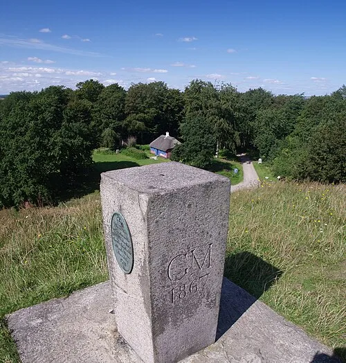 Hohøj Mountain, Mariagerfjord Kommune22 km N
-
Volshøj Mountain, Favrskov Kommune22 km SW
-
Vorning Bavnehøj Mountain, Viborg Kommune21 km NW
Sources & licences
Data last updated: · 2 independent sources