Hjelm
Located in Syddjurs Kommune, Central Jutland Coordinates: 56°08′00″ N 10°48′14″ E
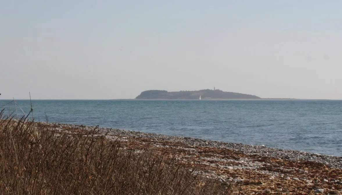
- Elevation
- 35 m
- above sea level
- Local time
- UTC+01:00
- Europe/Copenhagen · UTC+01:00
About Hjelm
Hjelm is an island. Location: Syddjurs Kommune, Central Jutland.
Hjelm is a small uninhabited Danish island located in the Kattegat 10 km (6 mi) south-east from Ebeltoft. In 2009, the island was included in Mols Bjerge National Park. The island is privately owned. The name Hjelm literally translates to Helmet in English. The island has also been referred to as Helm in English.
Read more on Wikipedia Text: Wikipedia contributors · CC BY-SA 4.0 · shortened
At a glance
- Length
- 1.4 km
- Area
- 62 ha
Source: Wikidata
In comparison
- 2 sights and natural places within 10 km Gydhøj, Bøgebjerg
Nearest towns and villages
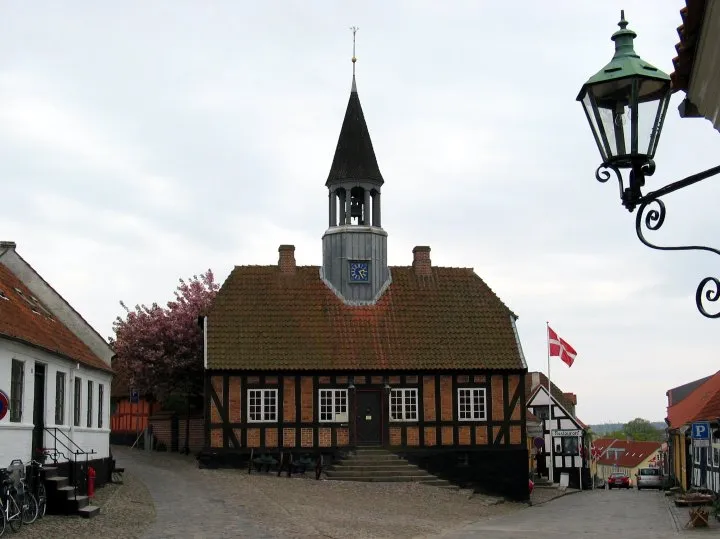
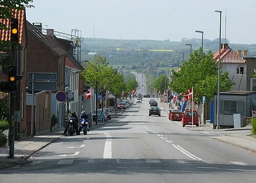
Nearby attractions & nature
Everything nearby-
Gydhøj Mountain, Syddjurs Kommune5.7 km NW
-
Bøgebjerg Mountain, Syddjurs Kommune9.8 km NW
-
Karlsbjerg Mountain, Syddjurs Kommune11 km NW
-
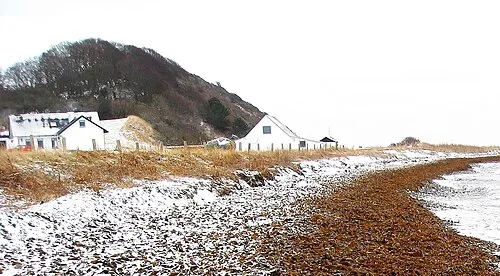 Jernhatten Mountain, Syddjurs Kommune12 km N
-
Stigsbjerg Mountain, Syddjurs Kommune18 km NW
-
Møgelbjerg Mountain, Syddjurs Kommune19 km NW
-
Bavnehøj Mountain, Syddjurs Kommune19 km NW
-
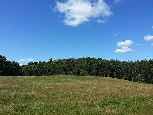 Ellemandsbjerg Mountain, Syddjurs Kommune17 km W
Sources & licences
Data last updated: · 2 independent sources