Jernhatten
Located in Syddjurs Kommune, Central Jutland Coordinates: 56°14′42″ N 10°47′13″ E
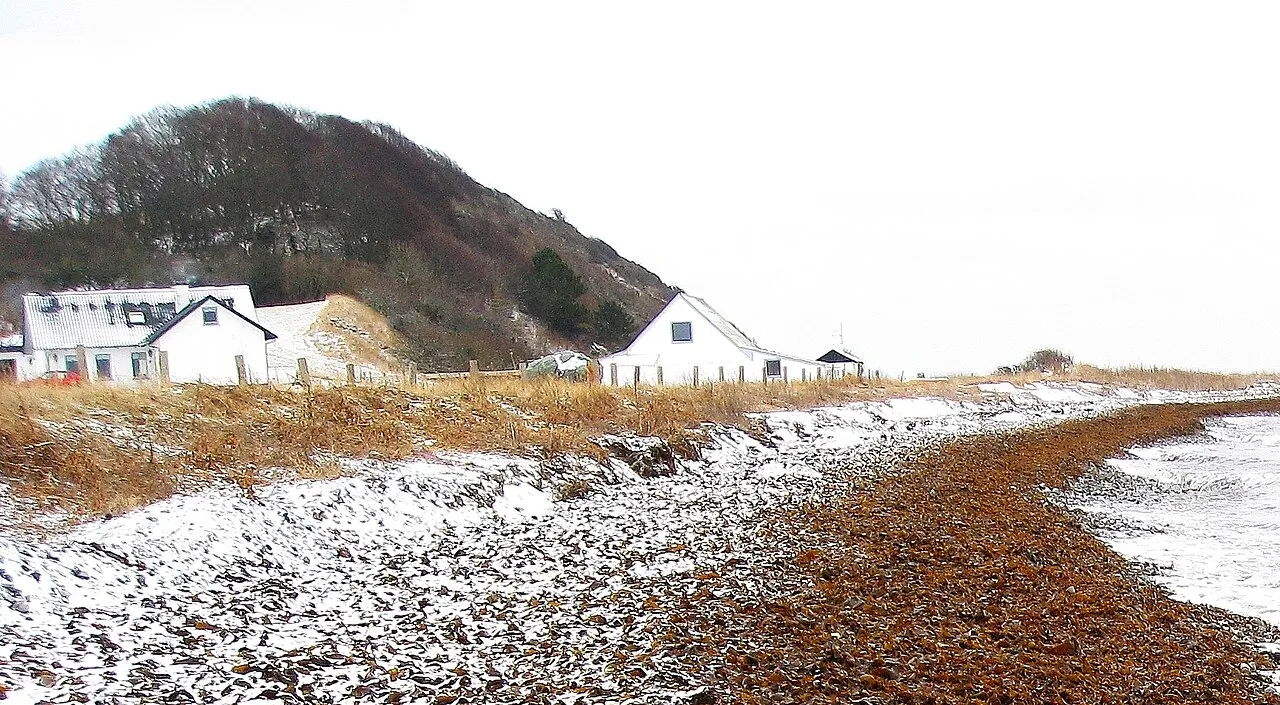
- Elevation
- 33 m
- above sea level
- Local time
- UTC+01:00
- Europe/Copenhagen · UTC+01:00
About Jernhatten
Jernhatten is a mountain. Location: Syddjurs Kommune, Central Jutland. Elevation: 33 m.
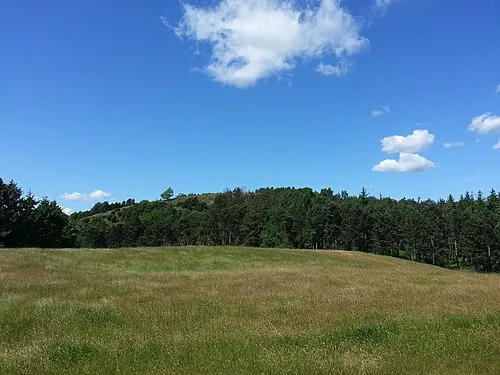
Jernhatten (lit. 'The Iron Hat') is a protected hill and view point on the Djursland peninsula in Denmark which protrudes into the Kattegat sea between Denmark and Sweden. From the top of the hill, 49 meters above sea level, there is a view up and down the coast including and the island Hjelm as well as an inland view over the hilly southern Djursland area, called Mols. Part of the hill became a protected public area in 1927, and was expanded in 1979 to cover 235 hectares.
Read more on Wikipedia Text: Wikipedia contributors · CC BY-SA 4.0 · shortened
In comparison
- No. 198 of 271 mountains in Langeskov by elevation
- 2 sights and natural places within 10 km Karlsbjerg, Bøgebjerg
Nearest towns and villages
Nearby attractions & nature
Everything nearby-
Karlsbjerg Mountain, Syddjurs Kommune5.5 km SW
-
Bøgebjerg Mountain, Syddjurs Kommune9.8 km SW
-
Gydhøj Mountain, Syddjurs Kommune10 km S
-
Stigsbjerg Mountain, Syddjurs Kommune11 km W
-
Møgelbjerg Mountain, Syddjurs Kommune12 km W
-
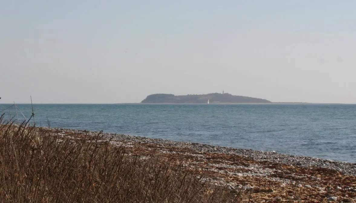 Hjelm Island, Syddjurs Kommune12 km S
-
Bavnehøj Mountain, Syddjurs Kommune15 km W
-
 Ellemandsbjerg Mountain, Syddjurs Kommune22 km SW
Sources & licences
Data last updated: · 2 independent sources