Kruså
Located in Aabenraa Kommune, Region South Denmark Coordinates: 54°51′03″ N 9°24′05″ E
- Population
- 1,528
- 1.5K
- Elevation
- 36 m
- above sea level
- Local time
- UTC+01:00
- Europe/Copenhagen · UTC+01:00
About Kruså
Kruså is a village. Location: Aabenraa Kommune, Region South Denmark. Population: 1,528. Elevation: 36 m.
Kruså (Danish pronunciation: [kʰʁuˈsɔˀ]; German: Krusau) is a Danish border town and border crossing with a population of 1,528 (1 January 2026), 6 kilometers north of Flensburg, situated on the European route E45. It is located in Aabenraa Municipality (prior to the Municipality Reform of 2007 in Bov municipality). On 9 April 1940, at 4:15 am German troops crossed the border here, starting the invasion of Denmark.
Read more on Wikipedia Text: Wikipedia contributors · CC BY-SA 4.0 · shortened
At a glance
- Built
- 1920
Source: Wikidata
In comparison
- No. 7 of 7 places in Aabenraa Kommune by population
- Nearest larger town: Padborg, 4 km SW
- 28 sights and natural places within 10 km Krusau, Forst Flensburg
Airports nearest to Kruså
- Sønderborg Airport (SGD) Sønderborg 28 km
- Westerland Sylt Airport (GWT) Sylt 68 km
- Odense Hans Christian Andersen Airport (ODE) Odense 91 km
Straight-line distance; airports with scheduled flights only. Source: OurAirports (public domain).
Nearby attractions & nature
Everything nearby-
Stagehøj Mountain, Aabenraa Kommune3.3 km NE
-
Forst Flensburg Natural site, Harrislee2.7 km S
-
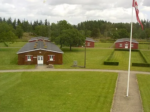 Police Custody Camp Frøslev Historic site, Aabenraa Kommune5 km SW
-
Niehuussee Lake, Harrislee3.4 km SW
-
Krusau River, Schleswig-Holstein2.4 km SE
-
Farensodde Natural site, Flensburg5.2 km SE
Sources & licences
Data last updated: · 2 independent sources