Esbjerg
Located in Esbjerg Kommune, Region South Denmark Coordinates: 55°28′13″ N 8°27′07″ E
- Population
- 71,698
- 71.7K
- Elevation
- 17 m
- above sea level
- Local time
- UTC+01:00
- Europe/Copenhagen · UTC+01:00
About Esbjerg
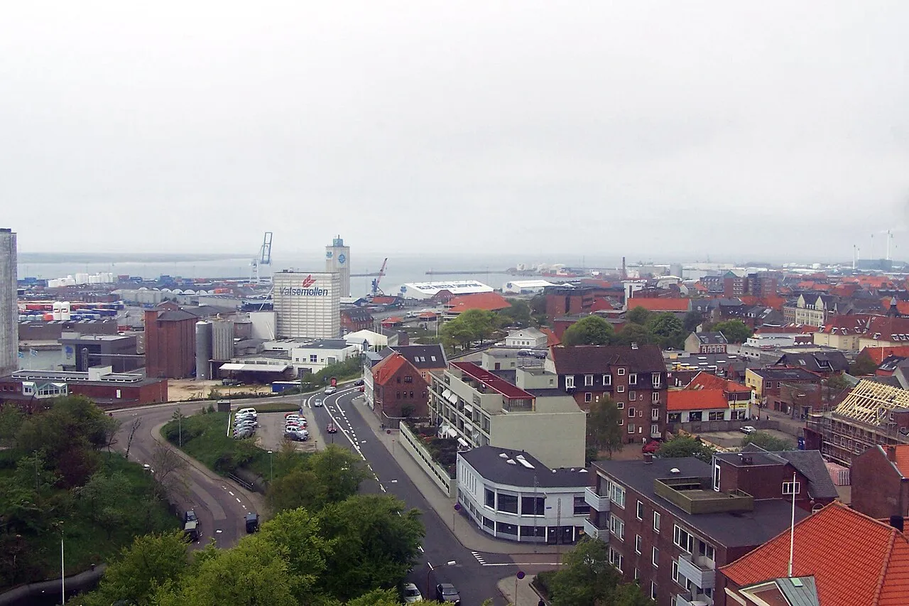
Esbjerg is a city. Location: Esbjerg Kommune, Region South Denmark. Population: 71,698. Elevation: 17 m.
Esbjerg (Danish: [ˈesˌpjɛɐ̯ˀ] , Jutish: [ˈɛspʲæa̯]) is a seaport city and seat of Esbjerg Municipality on the west coast of the Jutland peninsula in southwestern Denmark. By road, it is 71 kilometres (44 mi) west of Kolding and 164 kilometres (102 mi) southwest of Aarhus. With an urban population of 71,371 (1 January 2026) it is the fifth-largest city in Denmark, and the largest in West Jutland.
Read more on Wikipedia Text: Wikipedia contributors · CC BY-SA 4.0 · shortened
At a glance
- Built
- 1868
- Area
- 43.8 km²
Source: Wikidata
In comparison
- Most populous of 17 places in Esbjerg Kommune
- 5 sights and natural places within 10 km Femhøje, Mølhøj
Nearby attractions & nature
Everything nearby-
Femhøje Mountain, Esbjerg Kommune4.7 km NW
-
Mølhøj Mountain, Esbjerg Kommune5.9 km NE
-
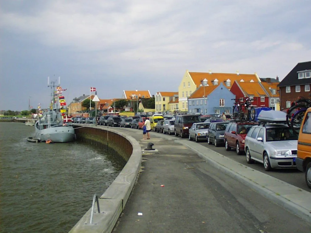 Fanø Island, Fanø Kommune6.8 km SW
-
Fasterhøj Mountain, Esbjerg Kommune8.9 km N
-
Bulbjerg Mountain, Esbjerg Kommune11 km NW
-
Rindby Strand Beach, Fanø Kommune7.7 km SW
-
Egebjerg Mountain, Varde Kommune17 km NE
-
Bavnehøj Mountain, Varde Kommune22 km NE
Other cities and towns in Esbjerg Kommune
Sources & licences
Data last updated: · 2 independent sources