Femhøje
Located in Esbjerg Kommune, Region South Denmark Coordinates: 55°30′00″ N 8°24′00″ E
- Elevation
- 16 m
- above sea level
- Local time
- UTC+01:00
- Europe/Copenhagen · UTC+01:00
- Airports
- EBJ Esbjerg Airport10 km
- BLL Billund Airport55 km
About Femhøje
Femhøje is a mountain. Location: Esbjerg Kommune, Region South Denmark. Elevation: 16 m. The best months to visit are June–August. The nearest airport is Esbjerg Airport (10 km). Nearby sights include Bulbjerg and Fasterhøj.
Climate of Femhøje
Best months for sightseeingBest months for sightseeing: June–August.
This month · November
A cold month
Day 8° · Night 3° · Rain 95 mm
- Hottest month
- August (day 20°)
- Coldest month
- February (night -1°)
- Wettest month
- October (100 mm)
- Driest month
- April (40 mm)
Bars: average monthly low and high temperature. Below: precipitation. Monthly averages for 1970–2000 at about 18 km resolution, adjusted for elevation. Highlighted months are mild and relatively dry. Source: WorldClim 2.1 (CC BY 4.0).
Show values as a table
| Month | Jan | Feb | Mar | Apr | May | Jun | Jul | Aug | Sep | Oct | Nov | Dec |
|---|---|---|---|---|---|---|---|---|---|---|---|---|
| Average high (°C) | 3° | 3° | 6° | 10° | 16° | 18° | 20° | 20° | 17° | 12° | 8° | 5° |
| Average low (°C) | -1° | -1° | 1° | 3° | 8° | 11° | 13° | 13° | 11° | 7° | 3° | 1° |
| Precipitation (mm) | 65 | 45 | 56 | 40 | 41 | 55 | 58 | 68 | 91 | 100 | 95 | 80 |
How to get to Femhøje
The nearest airport is Esbjerg Airport (EBJ), 10 km to the east as the crow flies. For international flights: Billund Airport (BLL) (55 km). The nearest large city is Odense, 126 km to the east.
Airports
- Esbjerg Airport (EBJ) Esbjerg 10 kmeast
- Billund Airport (BLL) Billund 55 kmnortheast
- Westerland Sylt Airport (GWT) Sylt 65 kmsouth
Nearby large cities
- Odense Population: 180.9K 126 kmeast
- Aarhus Population: 285.3K 135 kmnortheast
- Kiel Population: 252.7K 172 kmsoutheast
- Aalborg Population: 142.9K 196 kmnortheast
- Bremerhaven Population: 118.6K 217 kmsouth
Straight-line distances; road distances are longer. Airport data: OurAirports.
Day trips from Femhøje
Within 100 km: 40 historic and cultural sites, 161 natural sites, 71 lakes, rivers and coasts.
0–25 km13 places
- Fanø Island 10 kmS
- Rindby Strand Beach 9 kmS
- Peter Meyers Sand Island 21 kmS
- Stilbjerg Mountain 19 kmN
25–60 km47 places
- Strandsauna Beach 54 kmS
- Uthörn Island 52 kmS
- Königshafen Lake 51 kmS
- Ellenbogenberg Mountain 51 kmS
60–100 km212 places
- Kniepsand Beach 96 kmS
- Budersand Beach 82 kmS
- Badestrand Beach 97 kmS
- Sylt Island 66 kmS
Straight-line distances.
Nearest towns and villages
Nearby attractions & nature
Everything nearby-
Bulbjerg Mountain, Esbjerg Kommune6.3 km NW
-
Fasterhøj Mountain, Esbjerg Kommune6.8 km NE
-
Mølhøj Mountain, Esbjerg Kommune7.4 km E
-
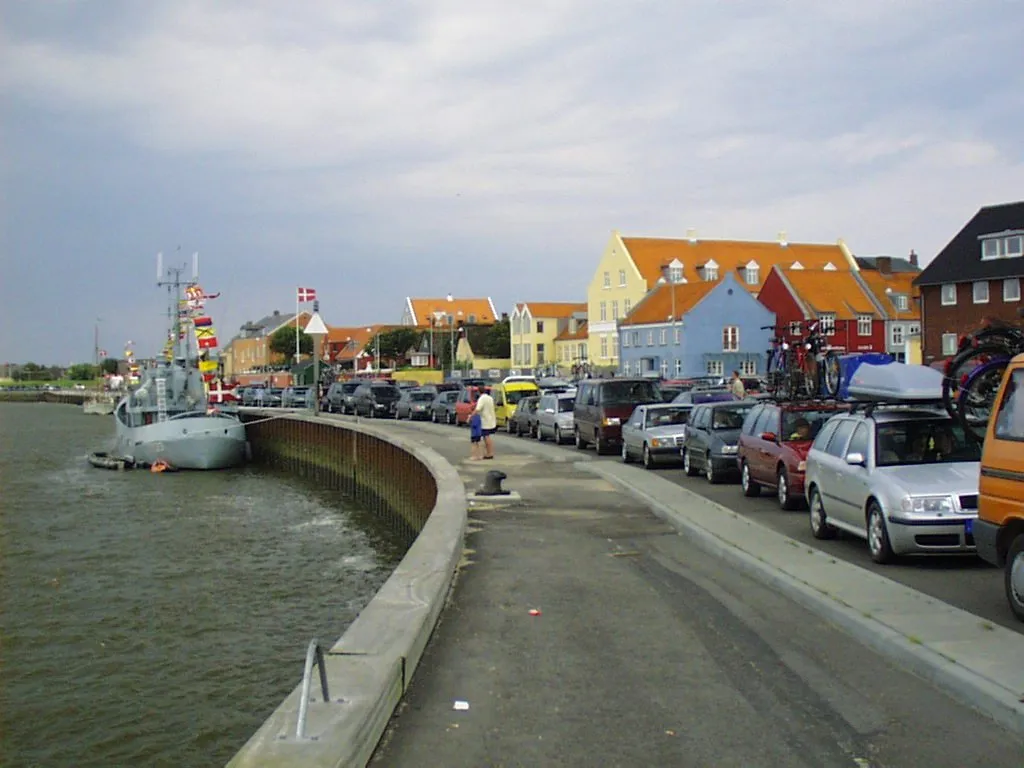 Fanø Island, Fanø Kommune9.6 km S
-
Rindby Strand Beach, Fanø Kommune9.4 km S
-
Højeknolde Natural site, Varde Kommune11 km W
-
Egebjerg Mountain, Varde Kommune17 km NE
-
Bavnehøj Mountain, Varde Kommune23 km NE
Sources & licences
Data last updated: · 2 independent sources