Hjerting
Located in Esbjerg Kommune, Region South Denmark Coordinates: 55°31′34″ N 8°21′29″ E
- Population
- 7,289
- 7.3K
- Elevation
- 14 m
- above sea level
- Local time
- UTC+01:00
- Europe/Copenhagen · UTC+01:00
About Hjerting
Hjerting is a village. Location: Esbjerg Kommune, Region South Denmark. Population: 7,289. Elevation: 14 m.
Hjerting is a district of Esbjerg in southwest Jutland, Denmark, some 7 km (4.3 mi) north of the centre. As of 2011, it has 7,289 inhabitants. With a history as a fishing village going back some 700 years it is now an exclusive suburb with views over the sandy beach and the Wadden Sea.
Read more on Wikipedia Text: Wikipedia contributors · CC BY-SA 4.0 · shortened
In comparison
- No. 3 of 17 places in Esbjerg Kommune by population
- Nearest larger town: Esbjerg, 9 km SE
- 4 sights and natural places within 10 km Bulbjerg, Femhøje
Nearby attractions & nature
Everything nearby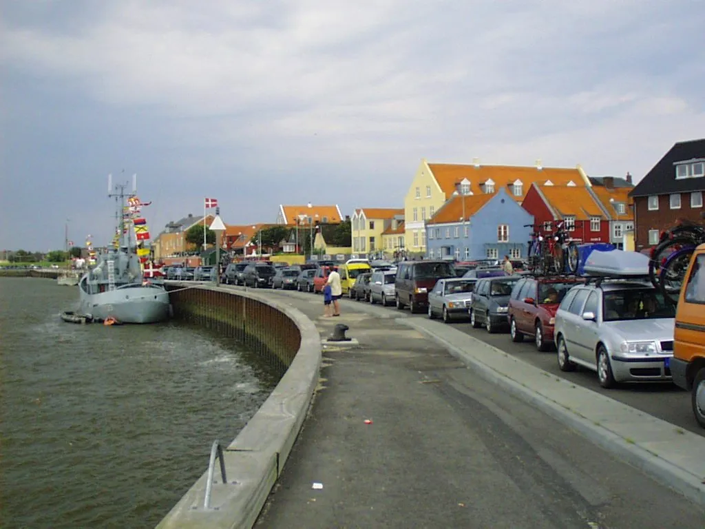
Sources & licences
Data last updated: · 2 independent sources