Birkende
Located in Kerteminde Kommune, Region South Denmark Coordinates: 55°22′51″ N 10°33′47″ E
- Population
- 655
- 655
- Elevation
- 14 m
- above sea level
- Local time
- UTC+01:00
- Europe/Copenhagen · UTC+01:00
About Birkende
Birkende is a village. Location: Kerteminde Kommune, Region South Denmark. Population: 655. Elevation: 14 m.
Birkende is a village with a population of 713 (1 January 2026) located in the Kerteminde municipality, on the island of Funen in central Denmark. Birkende's local football team is Birkende BK.
Read more on Wikipedia Text: Wikipedia contributors · CC BY-SA 4.0 · shortened
In comparison
- No. 4 of 4 places in Kerteminde Kommune by population
- Nearest larger town: Langeskov, 3 km SE
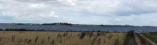
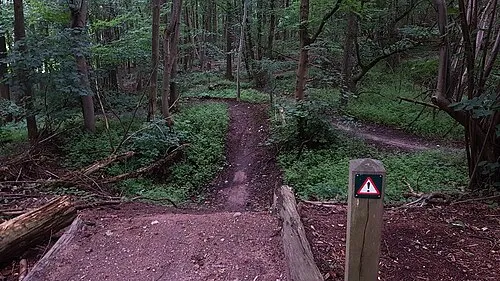
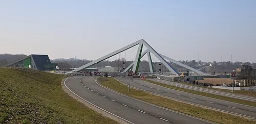
- 4 sights and natural places within 10 km Ibjerg, Munkebo Bakke
Nearby attractions & nature
Everything nearby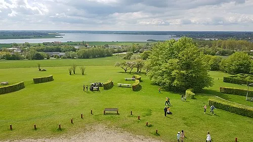
Sources & licences
Data last updated: · 2 independent sources