Odins Bro
Located in Odense Kommune, Region South Denmark Coordinates: 55°25′20″ N 10°22′49″ E
- Local time
- UTC+01:00
- Europe/Copenhagen · UTC+01:00
- Elevation
- -1 m
- above sea level
About Odins Bro
Odins Bro is a landmark. Location: Odense Kommune, Region South Denmark.
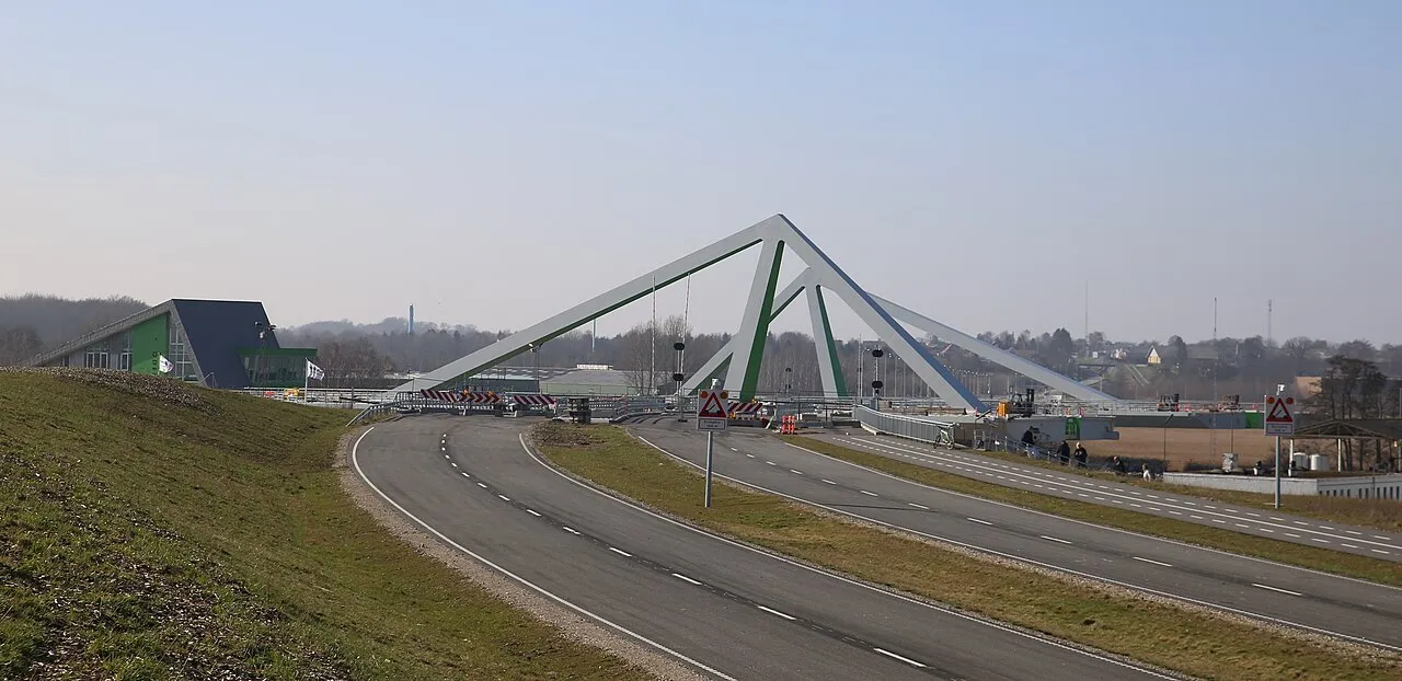
Odin's Bridge is a swing bridge over the Odense Canal, slightly north of the Danish city of Odense. The bridge was claimed to be Northern Europe's largest swing bridge ever built, with a total span of over 118 meters, which makes it a major landmark for the Port of Odense. The bridge has a length of 900 meters, and a width of about 28 meters, with a four-lane highway, and a bidirectional bike path along the north side of the bridge.
Read more on Wikipedia Text: Wikipedia contributors · CC BY-SA 4.0 · shortened
At a glance
- Built
- 2014
- Opened
- 2014
- Length
- 0.2 km
Source: Wikidata
In comparison
- 3 sights and natural places within 10 km Tornø, Dørholm
Nearby attractions & nature
Everything nearby-
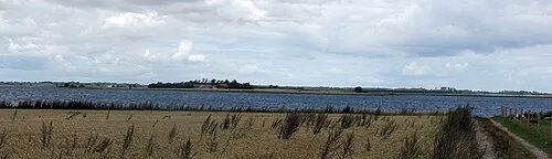 Tornø Island, Kerteminde Kommune7.7 km NE
-
Dræby Fed Natural site, Nordfyns Kommune8.9 km NE
-
Dørholm Island, Nordfyns Kommune8.7 km NE
-
Jeppeshøje Mountain, Nordfyns Kommune13 km N
-
 Munkebo Bakke Mountain, Kerteminde Kommune13 km NE
-
Roholm Island, Kerteminde Kommune11 km NE
-
Finshøj Mountain, Nordfyns Kommune15 km NW
-
Kongshøj Mountain, Kerteminde Kommune16 km E
Nearest towns and villages
Sources & licences
Data last updated: · 2 independent sources