Odense
Located in Odense Kommune, Region South Denmark Coordinates: 55°23′45″ N 10°23′18″ E
- Population
- 180,863
- 180.9K
- Elevation
- 17 m
- above sea level
- Local time
- UTC+01:00
- Europe/Copenhagen · UTC+01:00
About Odense
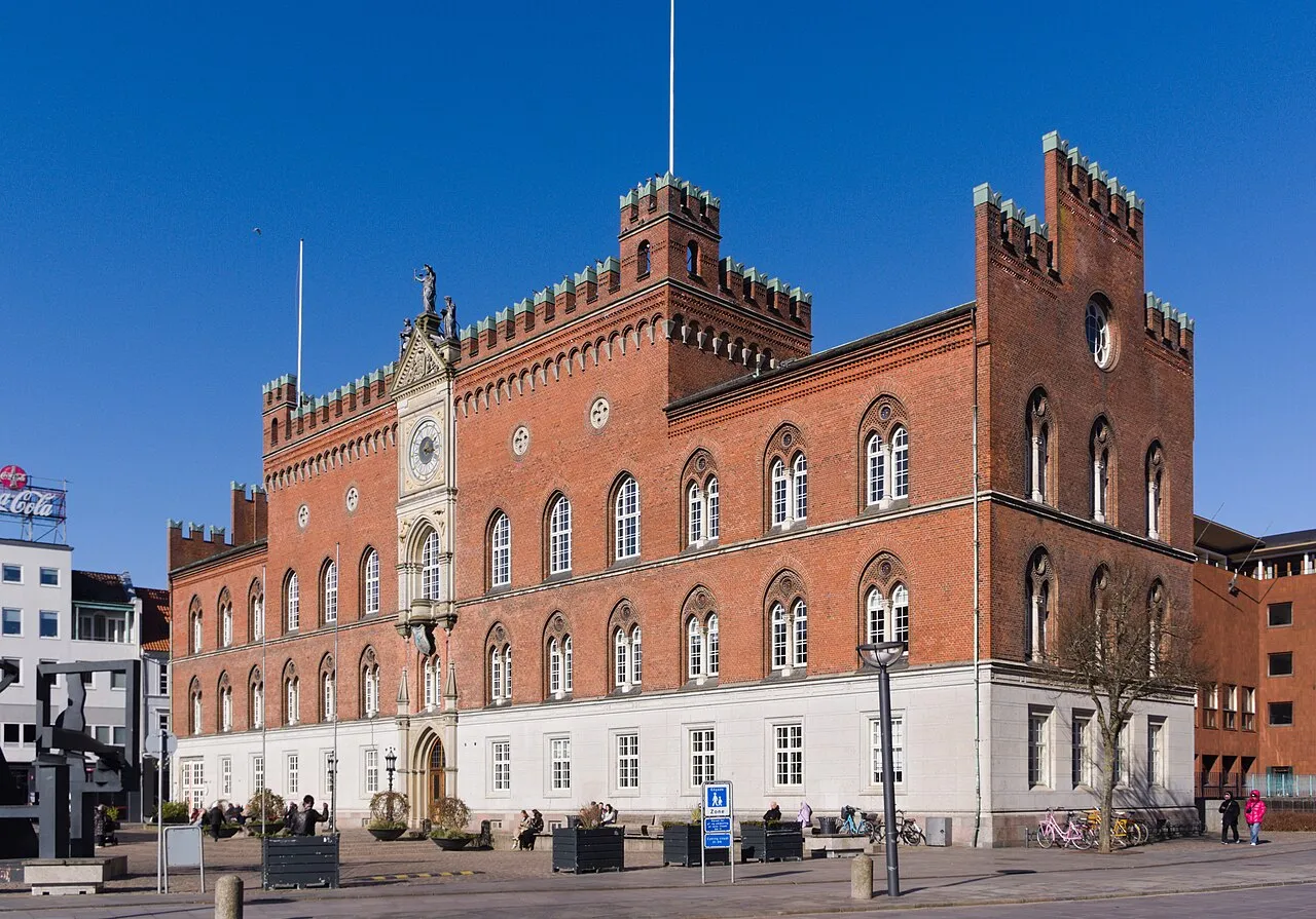
Odense is a city. Location: Odense Kommune, Region South Denmark. Population: 180,863. Elevation: 17 m.
Odense ( OH-dən-sə, US also OH-thən-sə; Danish: [ˈoðˀn̩sə] ) is the third largest city in Denmark (after Copenhagen and Aarhus) and the largest city on the island of Funen. As of 1 January 2026, the city proper had a population of 187,558 while Odense Municipality had a population of 213,168, making it the fourth largest municipality in Denmark (behind Copenhagen, Aarhus and Aalborg municipalities).
Read more on Wikipedia Text: Wikipedia contributors · CC BY-SA 4.0 · shortened
At a glance
- Built
- 1355
- Area
- 306 km²
Source: Wikidata
In comparison
- Most populous of 14 places in Odense Kommune
- 2 sights and natural places within 10 km Odins Bro, Tornø
Nearby attractions & nature
Everything nearby-
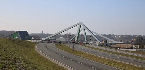 Odins Bro Landmark, Odense Kommune3 km N
-
 Tornø Island, Kerteminde Kommune9.2 km NE
-
Dræby Fed Natural site, Nordfyns Kommune10 km NE
-
Dørholm Island, Nordfyns Kommune11 km NE
-
 Munkebo Bakke Mountain, Kerteminde Kommune14 km NE
-
Kongshøj Mountain, Kerteminde Kommune17 km NE
-
 Ibjerg Mountain, Faaborg-Midtfyn Kommune12 km SE
-
Jeppeshøje Mountain, Nordfyns Kommune16 km N
Sources & licences
Data last updated: · 2 independent sources