Ødis
Located in Kolding Kommune, Region South Denmark Coordinates: 55°24′29″ N 9°22′50″ E
- Elevation
- 51 m
- above sea level
- Local time
- UTC+01:00
- Europe/Copenhagen · UTC+01:00
About Ødis
Ødis is a village. Location: Kolding Kommune, Region South Denmark. Elevation: 51 m.
Ødis is a village in Southern Jutland, Denmark, with a population of 481 (1 January 2026), located 7 km east of Vamdrup, 12 km northwest of Christiansfeld, and 13 km southwest of Kolding. The village is part of Kolding Municipality in Region of Southern Denmark. From 1970 to 2006, Ødis was part of Vamdrup Municipality.
Read more on Wikipedia Text: Wikipedia contributors · CC BY-SA 4.0 · shortened
In comparison
Nearby attractions & nature
Everything nearby-
Højbjerg Mountain, Kolding Kommune6.5 km S
-
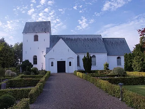 Eltang Kirke Attraction, Kolding Kommune17 km NE
-
Pothøj Mountain, Haderslev Kommune25 km S
-
Rangtang Mountain, Haderslev Kommune20 km SW
-
Fjellumhøj Mountain, Haderslev Kommune20 km SW
-
Linderum Island, Haderslev Kommune25 km SE
Sources & licences
Data last updated: · 2 independent sources