Bogense
Located in Nordfyns Kommune, Region South Denmark Coordinates: 55°34′01″ N 10°05′19″ E
- Population
- 4,059
- 4.1K
- Elevation
- 10 m
- above sea level
- Local time
- UTC+01:00
- Europe/Copenhagen · UTC+01:00
About Bogense
Bogense is a city. Location: Nordfyns Kommune, Region South Denmark. Population: 4,059. Elevation: 10 m.
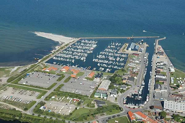
Bogense (Danish: [ˈpoːwn̩sə]) is a town in central Denmark, located on Funen in Nordfyn municipality, Region of Southern Denmark. The town has a population of 3,944 (1 January 2026). With its half-timbered houses, narrow streets and large marina, it is a popular tourist spot in the summer. The town is connected to Odense and Middelfart via buses operated by Fynbus. The town was the seat of Bogense Municipality until the 2007 Municipal Reform, when Bogense merged into the new Nordfyn Municipality.
Read more on Wikipedia Text: Wikipedia contributors · CC BY-SA 4.0 · shortened
In comparison
- No. 2 of 7 places in Nordfyns Kommune by population
- Nearest larger town: Otterup, 20 km E
- 2 sights and natural places within 10 km Dræet, Ejlinge
Airports nearest to Bogense
- Odense Hans Christian Andersen Airport (ODE) Odense 18 km
- Billund Airport (BLL) Billund 62 km
- Sønderborg Airport (SGD) Sønderborg 70 km
Straight-line distance; airports with scheduled flights only. Source: OurAirports (public domain).
Nearby attractions & nature
Everything nearby-
Dræet Island, Nordfyns Kommune6.7 km NE
-
Ejlinge Island, Nordfyns Kommune8 km NE
-
Finshøj Mountain, Nordfyns Kommune12 km E
-
Nørreby Hals Natural site, Nordfyns Kommune13 km E
-
Flyvesandet Beach, Nordfyns Kommune15 km NE
-
Jeppeshøje Mountain, Nordfyns Kommune19 km E
-
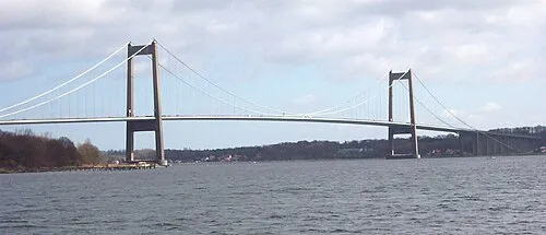 Little Belt Bridge Landmark, Region South Denmark22 km W
-
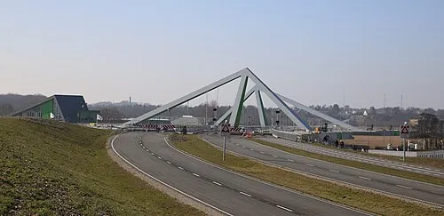 Odins Bro Landmark, Odense Kommune24 km SE
Sources & licences
Data last updated: · 2 independent sources