Skip to content
Geonivora
Village

Sanderum

Located in Odense Kommune, Region South Denmark Coordinates: 55°22′10″ N 10°20′19″ E

Map showing the location of Sanderum Sanderum
Location in Denmark
Elevation
30 m
above sea level
Local time
UTC+01:00
Europe/Copenhagen · UTC+01:00

About Sanderum

Sanderum is a village. Location: Odense Kommune, Region South Denmark. Elevation: 30 m.

In comparison

Nearby attractions & nature

Everything nearby
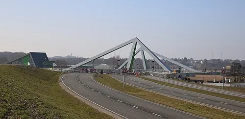
  • Odins Bro Landmark, Odense Kommune
    6.4 km NE
  • Tornø Island, Kerteminde Kommune
    13 km NE
  • Brahetrolleborg Historic site, Faaborg-Midtfyn Kommune
    24 km S
  • Dræby Fed Natural site, Nordfyns Kommune
    15 km NE
  • Ibjerg Mountain, Faaborg-Midtfyn Kommune
    12 km SE
  • Finshøj Mountain, Nordfyns Kommune
    20 km N

Sources & licences

Data last updated: · 2 independent sources