Bedsted
Located in Tønder Kommune, Region South Denmark Coordinates: 55°03′38″ N 9°06′30″ E
- Elevation
- 28 m
- above sea level
- Local time
- UTC+01:00
- Europe/Copenhagen · UTC+01:00
About Bedsted
Bedsted is a village. Location: Tønder Kommune, Region South Denmark. Elevation: 28 m.
In comparison
Nearby attractions & nature
Everything nearby-
Stenhøj Mountain, Aabenraa Kommune16 km NE
-
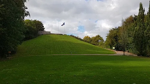 Knivsbjerg Mountain, Aabenraa Kommune23 km E
-
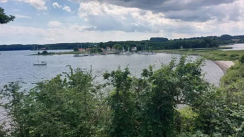 Kalvø Island, Aabenraa Kommune24 km E
-
Trendbjerg Mountain, Aabenraa Kommune22 km E
-
Pothøj Mountain, Haderslev Kommune21 km NE
-
Løgpold Mountain, Aabenraa Kommune17 km SE
Sources & licences
Data last updated: · 2 independent sources