Løgumkloster
Located in Tønder Kommune, Region South Denmark Coordinates: 55°03′34″ N 8°57′18″ E
- Population
- 3,458
- 3.5K
- Elevation
- 16 m
- above sea level
- Local time
- UTC+01:00
- Europe/Copenhagen · UTC+01:00
- Airports
- GWT Westerland Sylt Airport43 km
- SGD Sønderborg Airport55 km
About Løgumkloster
Løgumkloster is a village. Location: Tønder Kommune, Region South Denmark. Population: 3,458. Elevation: 16 m. The best months to visit are June–August. The nearest airport is Westerland Sylt Airport (43 km). Nearby sights include Trælbanke and Stenhøj.
Climate of Løgumkloster
Best months for sightseeingBest months for sightseeing: June–August.
This month · November
A cold month
Day 8° · Night 3° · Rain 99 mm
- Hottest month
- August (day 21°)
- Coldest month
- February (night -1°)
- Wettest month
- October (99 mm)
- Driest month
- February (43 mm)
Bars: average monthly low and high temperature. Below: precipitation. Monthly averages for 1970–2000 at about 18 km resolution, adjusted for elevation. Highlighted months are mild and relatively dry. Source: WorldClim 2.1 (CC BY 4.0).
Show values as a table
| Month | Jan | Feb | Mar | Apr | May | Jun | Jul | Aug | Sep | Oct | Nov | Dec |
|---|---|---|---|---|---|---|---|---|---|---|---|---|
| Average high (°C) | 3° | 3° | 6° | 11° | 16° | 18° | 20° | 21° | 17° | 13° | 8° | 5° |
| Average low (°C) | -1° | -1° | 0° | 3° | 7° | 10° | 12° | 12° | 9° | 6° | 3° | 0° |
| Precipitation (mm) | 70 | 43 | 55 | 46 | 51 | 66 | 76 | 82 | 88 | 99 | 99 | 81 |
How to get to Løgumkloster
The nearest airport is Westerland Sylt Airport (GWT), 43 km to the west as the crow flies. The nearest large city is Odense, 99 km to the northeast.
Airports
- Westerland Sylt Airport (GWT) Sylt 43 kmwest
- Sønderborg Airport (SGD) Sønderborg 55 kmeast
- Esbjerg Airport (EBJ) Esbjerg 58 kmnorthwest
Nearby large cities
- Odense Population: 180.9K 99 kmnortheast
- Kiel Population: 252.7K 112 kmsoutheast
- Aarhus Population: 285.3K 146 kmnortheast
- Bremerhaven Population: 118.6K 169 kmsouth
- Lübeck Population: 212.2K 174 kmsoutheast
Straight-line distances; road distances are longer. Airport data: OurAirports.
Nearby attractions & nature
Everything nearby-
Trælbanke Mountain, Tønder Kommune17 km SW
-
Stenhøj Mountain, Aabenraa Kommune25 km E
-
Fårmandsbjerg Mountain, Esbjerg Kommune21 km N
-
Nolde-Stiftung Museum, Neukirchen23 km SW
-
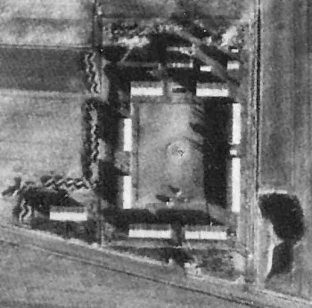 Ladelund Concentration Camp Historic site, Ladelund25 km S
-
Süderau River, Germany19 km SW
Sources & licences
Data last updated: