Glacier des Sellettes
Located in Isère, Auvergne-Rhône-Alpes Coordinates: 44°51′00″ N 6°12′00″ E
- Elevation
- 2,737 m
- above sea level
- Local time
- UTC+01:00
- Europe/Paris · UTC+01:00
- Airports
- GNB Grenoble Alpes Isère Airport89 km
- CMF Chambéry Aix les Bains airport91 km
About Glacier des Sellettes
Glacier des Sellettes is a natural site. Location: Isère, Auvergne-Rhône-Alpes. The nearest airport is Grenoble Alpes Isère Airport (89 km). Nearby sights include La Rouye and Pic d'Olan.
Photos of Glacier des Sellettes
-
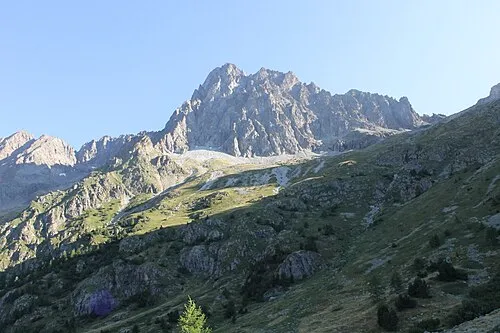
Pic des Souffles Raynaud Bannettes · CC BY-SA 4.0

Climate of Glacier des Sellettes
This month · November
A wet month
Day -2° · Night -7° · Rain 155 mm
- Hottest month
- August (day 12°)
- Coldest month
- February (night -11°)
- Wettest month
- November (155 mm)
- Driest month
- July (67 mm)
Bars: average monthly low and high temperature. Below: precipitation. Monthly averages for 1970–2000 at about 18 km resolution, adjusted for elevation. Highlighted months are mild and relatively dry. Source: WorldClim 2.1 (CC BY 4.0).
Show values as a table
| Month | Jan | Feb | Mar | Apr | May | Jun | Jul | Aug | Sep | Oct | Nov | Dec |
|---|---|---|---|---|---|---|---|---|---|---|---|---|
| Average high (°C) | -6° | -5° | -4° | -2° | 4° | 8° | 12° | 12° | 8° | 3° | -2° | -4° |
| Average low (°C) | -11° | -11° | -10° | -8° | -4° | 0° | 3° | 4° | 1° | -2° | -7° | -10° |
| Precipitation (mm) | 138 | 118 | 115 | 114 | 119 | 92 | 67 | 83 | 100 | 135 | 155 | 141 |
How to get to Glacier des Sellettes
The nearest airport is Grenoble Alpes Isère Airport (GNB), 89 km to the northwest as the crow flies. The nearest large city is Grenoble, 53 km to the northwest.
Airports
- Grenoble Alpes Isère Airport (GNB) Grenoble 89 kmnorthwest
- Chambéry Aix les Bains airport (CMF) Chambéry 91 kmnorth
- Cuneo International Airport (CUF) Levaldigi (CN) 118 kmeast
Nearby large cities
- Grenoble Population: 158.6K 53 kmnorthwest
- Villeurbanne Population: 131.4K 145 kmnorthwest
- Lyon Population: 520.8K 146 kmnorthwest
- Geneva Population: 201.7K 150 kmnorth
- Nice Population: 342.7K 153 kmsoutheast
Straight-line distances; road distances are longer. Airport data: OurAirports.
Day trips from Glacier des Sellettes
Within 100 km: 95 historic and cultural sites, 1,539 natural sites, 295 lakes, rivers and coasts.
0–25 km185 places
- Lac du Vallon Lake 20 kmNW
- Lac du Saulet Lake 21 kmW
- Lac Faravel Lake 23 kmSE
- Lac Palluel Lake 22 kmSE
25–60 km733 places
- Lac Mort Lake 38 kmNW
- Clapes River 55 kmS
- Lac Vert Lake 54 kmSE
- Lac Sainte-Anne Lake 55 kmSE
60–100 km1,011 places
- St Alban Plage Beach 85 kmN
- Grande Île Island 84 kmN
- Petite Île Island 84 kmN
- Lac Premier Lake 61 kmSE
Straight-line distances.
Nearest towns and villages
-
La Chapelle-en-Valgaudémar Village, Arrondissement of Gap3.7 km S
-
La Chapelle-en-Valgaudémar Village, La Chapelle-en-Valgaudémar3.7 km S
-
Villar-Loubière Village, Arrondissement of Gap5.1 km SW
-
Villar-Loubière Village, Villar-Loubière5.1 km SW
-
Le Chaussendent Village, La Chapelle-en-Valgaudémar3.7 km S
-
Le Casset Village, La Chapelle-en-Valgaudémar3.9 km SE
Nearby attractions & nature
Everything nearby-
La Rouye Mountain, La Chapelle-en-Valgaudémar1.3 km E
-
Pic d'Olan Mountain, Hauts-de-France1 km N
-
Pic de Turbat Mountain, Valjouffrey2.4 km W
-
Pic du Lauzon Mountain, La Chapelle-en-Valgaudémar4 km E
-
Glacier de la Muande Natural site, Isère3.2 km NE
-
Pic des Souffles Mountain, Valjouffrey5.5 km W
-
Valgaudemar Natural site, Hautes-Alpes4.5 km SW
-
Les Rouies Mountain, Isère5.6 km E
More nature in France
-
Le Vaccivier Mountain, Isère6.8 km E
-
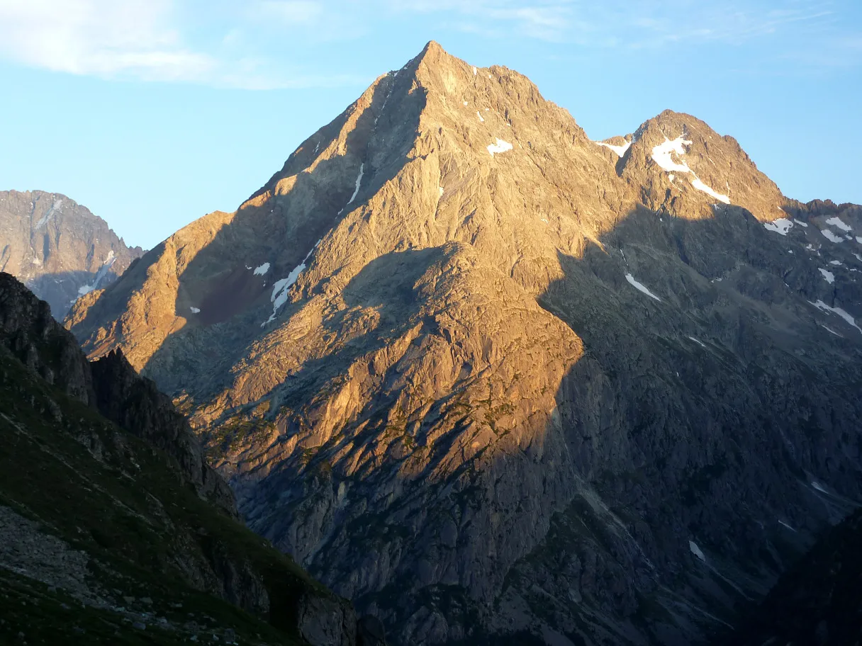 Grande Aiguille de la Bérarde Mountain, Saint-Christophe-en-Oisans9.9 km NE
-
Tête de l'Étret Mountain, Saint-Christophe-en-Oisans5.6 km NE
-
Aiguille des Arias Mountain, Saint-Christophe-en-Oisans5.7 km N
-
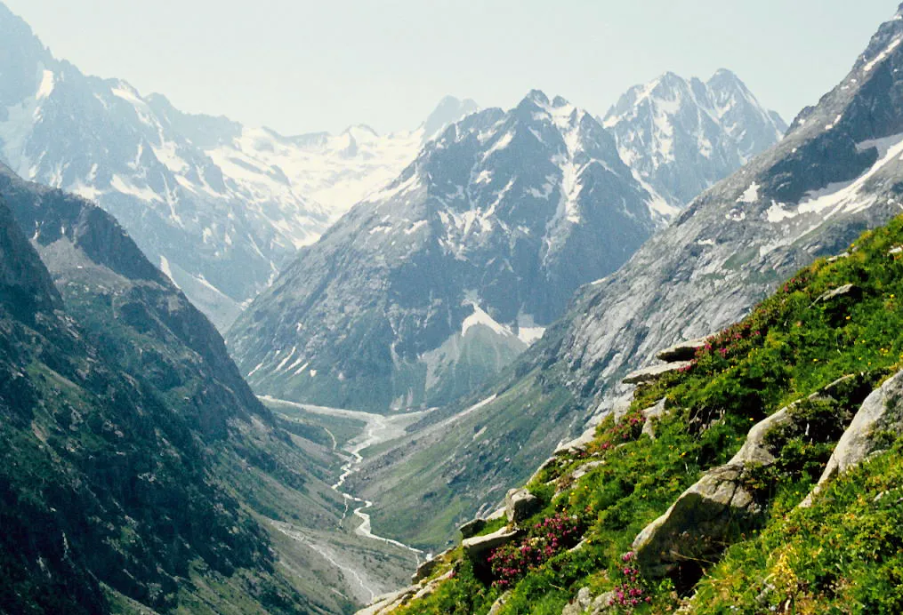 Tête de Chéret Mountain, Saint-Christophe-en-Oisans9.9 km E
-
Glacier de l'Étret Natural site, Isère5.4 km NE
Sources & licences
Data last updated: