Auvergne-Rhône-Alpes
Located in France Coordinates: 45°28′55″ N 5°22′28″ E
- Population
- 8,163,884
- 8.2M
- Elevation
- 532 m
- above sea level
- Local time
- UTC+01:00
- Europe/Paris · UTC+01:00
- Places inside
- 187
- listed under Auvergne-Rhône-Alpes
About Auvergne-Rhône-Alpes
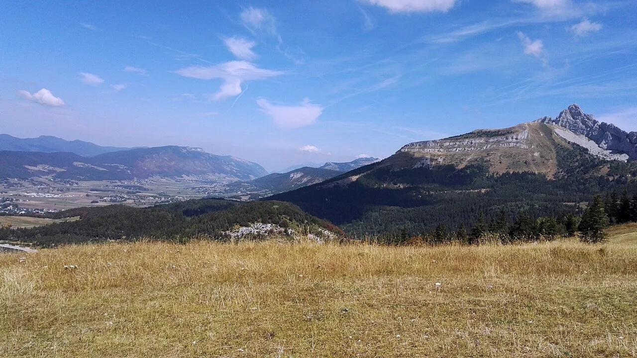
Auvergne-Rhône-Alpes is a region. Location: France. Population: 8,163,884.
Auvergne-Rhône-Alpes (French pronunciation: [ovɛʁɲ ʁonalp] ; AURA) is a landlocked region in Southern France. It was created by the 2014 territorial reform of French regions; it resulted from the merger of Auvergne and Rhône-Alpes. The new region came into effect on 1 January 2016, after the regional elections in December 2015. The region covers an area of 69,711 km2 (26,916 mi2), making it the third largest in metropolitan France; it had a population of 7,994,459 in 2018, second to Île-de-France.
Read more on Wikipedia Text: Wikipedia contributors · CC BY-SA 4.0 · shortened
At a glance
- Built
- 2016
- Area
- 69,711 km²
Source: Wikidata
In comparison
- Listed here: Village: 119, Mountain: 22, River: 19, District: 12
Places in Auvergne-Rhône-Alpes
187 places-
Rhône District1.7M
-
Isère District1.3M
-
Upper Savoy District849.6K
-
Loire District772K
-
Ain District671.3K
-
Puy-de-Dôme District664.4K
-
Drôme District521.4K
-
Savoy District445.3K
-
Allier District334.7K
-
Ardèche District333.2K
-
Haute-Loire District228.2K
-
Cantal District144.4K
-
Aiguille du Charmo Mountain
-
Alliandre Village
-
Ardeche River River
-
Auzé River
-
Bagnols Village
-
Banne Mountain
-
Bardin Village
-
Barnazat Village
-
Bassa Village
-
Beaumont Village
-
Berlières Village
-
Besbre River River
-
Bieudre River
-
Bois de la Montagne d'Arès Natural site
-
Bois de l'Assise Natural site
-
Bois des Gregoules Natural site
-
Boisséjour Village
-
Bornes Mountain
-
Boslabert Village
-
Brié Bas Village
-
Chamagnat Village
-
Chambaud Village
-
Château Covet Village
-
Cormorand Village
-
Croix des Berons Mountain
-
Doucy dessous Village
-
Épernay Village
-
Fontenouille Village
-
Forêt d'Aubusson Natural site
-
Forêt du Villard Natural site
-
Glacier de la Bonne Pierre Natural site
-
Glacier de Pierre Minieu Natural site
-
Glacier de Rochemelon Natural site
-
Glacier des Étançons Natural site
-
Ibie River
-
La Barge Village
-
La Bâtie de Crussol Village
-
Lac de Grandval Lake
-
Lac de Tignes Lake
-
La Chapelle Village
-
La Chavade Village
-
Lac Inférieur Lake
-
La Coche Village
-
La Commanderie Village
-
La Corbière Village
-
La Cure Village
-
La Grande Charrière Village
-
La Grange Village
Largest cities and towns
-
Arrondissement of Lyon Municipality, Rhône1.6M
-
Arrondissement of Grenoble Municipality, Isère750.7K
-
Arrondissement of Saint-Étienne Municipality, Loire427K
-
Lyon Village, Arrondissement of Lyon515.7K
-
Arrondissement of La Tour-du-Pin Municipality, Isère317.9K
-
Arrondissement of Chambéry Municipality, Savoy290.4K
-
Arrondissement of Clermont-Ferrand Municipality, Puy-de-Dôme363.8K
-
Arrondissement de Bourg-en-Bresse Municipality, Ain345.9K
Nature and heritage in Auvergne-Rhône-Alpes
-
Île des Cygnes Island, Upper Savoy
-
Alba-la-Romaine (Ardèche, France) -- Théâtre gallo-romain Historic site, Alba-la-Romaine1.5K
-
Parc de la Tête d'Or Natural site, Lyon5
-
St Alban Plage Beach, Novalaise
-
Plage de Menthon Saint Bernard Beach, Menthon-Saint-Bernard
-
Plage d'Albigny Beach, Annecy
Sources & licences
Data last updated: · 2 independent sources