Puy-de-Dôme
Local name: Puèi Domat
Located in Auvergne-Rhône-Alpes, France Coordinates: 45°42′20″ N 3°08′46″ E
- Population
- 664,385
- 664.4K
- Elevation
- 401 m
- above sea level
- Local time
- UTC+01:00
- Europe/Paris · UTC+01:00
- Places inside
- 92
- listed under Puy-de-Dôme
- Airports
- CFE Clermont-Ferrand Auvergne airport9 km
- AUR Aurillac airport107 km
About Puy-de-Dôme
Puy-de-Dôme is a district. Location: Auvergne-Rhône-Alpes, France. Population: 664,385.
Puy-de-Dôme (French: [pɥi də dom] ; Auvergnat: lo Puèi de Doma or lo Puèi Domat) is a department in the Auvergne-Rhône-Alpes region in the centre of France. In 2023, it had a population of 664,453. Its prefecture is Clermont-Ferrand and subprefectures are Ambert, Issoire, Riom, and Thiers. Named after the Puy de Dôme dormant volcano, its inhabitants were called Puydedomois in French until 2005.
Source: Wikipedia · CC BY-SA 4.0
Photos of Puy-de-Dôme
-
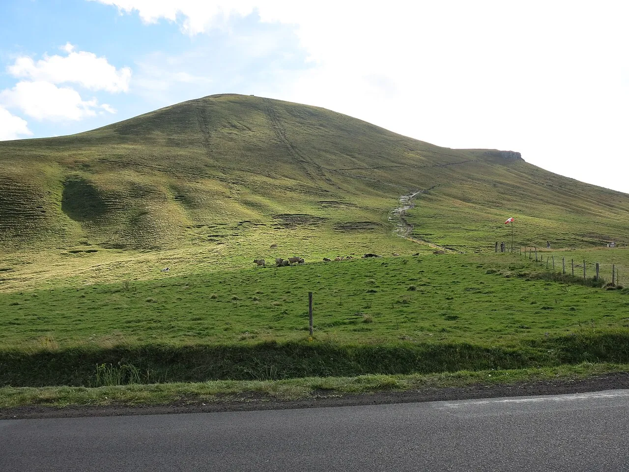
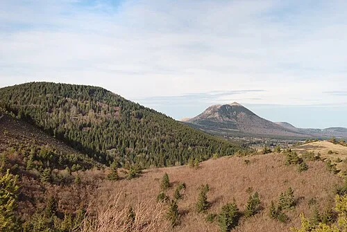
Puy de la Tache Tangopaso · Public domain -
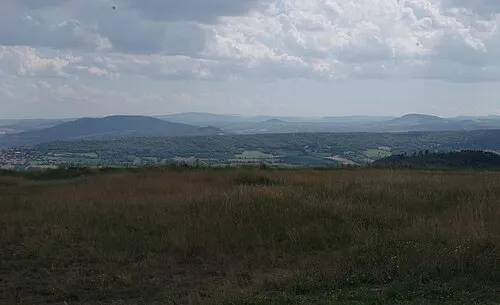
Montagne de la Serre AlSepPhoenix · CC0 -
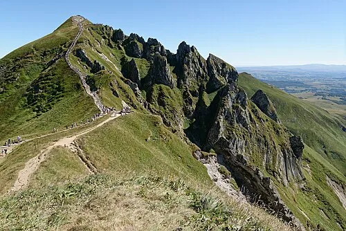
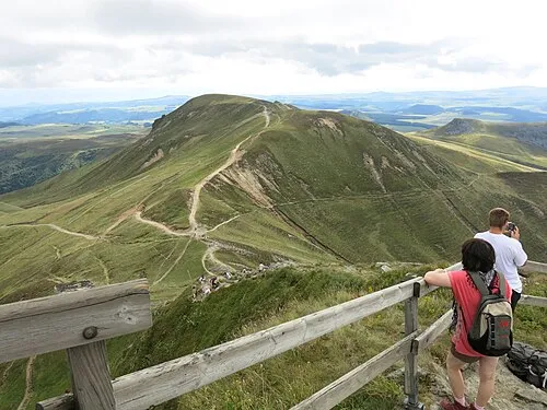
Puy de Sancy Marie-Lan Nguyen · CC BY 4.0 -
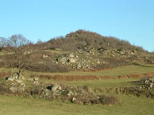
Mont Redon Romary · CC BY 2.5 -
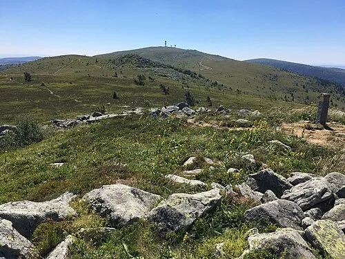
Pierre-sur-Haute Nezdek · CC BY-SA 4.0


Travel notes for Puy-de-Dôme
From Wikivoyage
Puy-de-dome is a department in the Auvergne region. It is an area which is richly diverse in both landscape and 'flora and fauna' including eagles, eagle owls, ospreys, red squirrels, wild boar, roe deer, stags and mouflon sheep, to name but a few which inhabit this rather beautiful and largely undiscovered part of France.
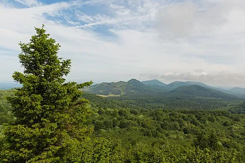
Mountains, valleys, dormant volcanoes, volcanic lakes, plateaus and plains come together to form two of France's largest regional parks called the Volcanic Park and the Livradois Forest Park. The area was listed as a natural world heritage site in 2018.
Get in+
By plane:
The Auvergne capital of Clermont-Ferrand, which is in the Puy-de-Dôme, has its own regional airport called Aulnat, with flights from the UK.
By train:
It is also well served by both rail, with links to Paris, Lyon and the South of France and motorway by the A75 which runs right through the centre of the Auvergne.
By tram:
Travelling around the city has never been so easy with the Tram now fully open and which links Aubiere to the south and Riom to the north of Clermont and also encompasses the old historical district of Montferrand.
Source: Wikivoyage · CC BY-SA 4.0 · abridged
Places bordering Puy-de-Dôme
- Allier
- Cantal
- Corrèze department
- Creuse
- Haute-Loire
- Loire
Population of Puy-de-Dôme over time
| 2015 | 647,501 | |
|---|---|---|
| 2017 | 653,742 | |
| 2018 | 659,048 | |
| 2019 | 662,152 | |
| 2020 | 661,852 | |
| 2021 | 662,285 | |
| 2022 | 664,385 | |
| 2023 | 664,453 |
Censuses and official estimates; source: Wikidata.
Climate of Puy-de-Dôme
Best months for sightseeingBest months for sightseeing: June–September.
This month · November
A cold month
Day 11° · Night 3° · Rain 48 mm
- Hottest month
- July (day 25°)
- Coldest month
- January (night 0°)
- Wettest month
- May (87 mm)
- Driest month
- March (35 mm)
Bars: average monthly low and high temperature. Below: precipitation. Monthly averages for 1970–2000 at about 18 km resolution, adjusted for elevation. Highlighted months are mild and relatively dry. Source: WorldClim 2.1 (CC BY 4.0).
Show values as a table
| Month | Jan | Feb | Mar | Apr | May | Jun | Jul | Aug | Sep | Oct | Nov | Dec |
|---|---|---|---|---|---|---|---|---|---|---|---|---|
| Average high (°C) | 7° | 9° | 12° | 14° | 19° | 22° | 25° | 25° | 21° | 16° | 11° | 8° |
| Average low (°C) | 0° | 1° | 2° | 4° | 8° | 11° | 13° | 13° | 10° | 7° | 3° | 1° |
| Precipitation (mm) | 40 | 36 | 35 | 51 | 87 | 76 | 57 | 74 | 69 | 63 | 48 | 44 |
Other places to visit in this season: June July August September
How to get to Puy-de-Dôme
The nearest airport is Clermont-Ferrand Auvergne airport (CFE), 9 km to the north as the crow flies. The nearest large city is Clermont-Ferrand, 9 km to the northwest.
Airports
- Clermont-Ferrand Auvergne airport (CFE) Clermont-Ferrand 9 kmnorth
- Aurillac airport (AUR) Aurillac 107 kmsouthwest
- Brive Souillac airport (BVE) Brive 150 kmsouthwest
Nearby large cities
- Clermont-Ferrand Population: 147.9K 9 kmnorthwest
- Saint-Etienne Population: 176.3K 102 kmeast
- Lyon Population: 520.8K 133 kmeast
- Villeurbanne Population: 131.4K 135 kmeast
- Limoges Population: 141.2K 148 kmwest
Straight-line distances; road distances are longer. Airport data: OurAirports.
Day trips from Puy-de-Dôme
Within 100 km: 133 historic and cultural sites, 498 natural sites, 259 lakes, rivers and coasts.
0–25 km140 places
- Lac de Servière Lake 23 kmW
- Lac de Chambon Lake 23 kmSW
- Lac d'Aydat Lake 13 kmW
- Lac de la Cassière Lake 12 kmW
25–60 km235 places
- Puy Bien Mountain 42 kmE
- Étang de Tix Lake 52 kmW
- Lac de Tazenat Lake 33 kmN
- Étang de la Ramade Lake 57 kmW
60–100 km515 places
- Étang de Pinaud Lake 85 kmNW
- Lac de Madic Lake 65 kmSW
- Étang des Landes Lake 83 kmNW
- Étang de Corée Lake 79 kmNE
Straight-line distances.
Places in Puy-de-Dôme
92 places- 1 Arrondissement of Clermont-Ferrand 363.8K
- 2 Arrondissement of Riom 137.7K
- 3 Arrondissement of Issoire 78.8K
- 4 Arrondissement of Thiers 56.5K
- 5 Arrondissement of Ambert 27.6K
Bar: population relative to the most populous place in this list.
Mountains & nature23
- Bois de Bussière · Natural site
- Bois de Coisse · Natural site
- Bois de la Grange · Natural site
- Bois de Mauchet · Natural site
- Bois de Naufrange · Natural site
- Bois de Pionsat · Natural site
- Bois du Domais · Natural site
- Bois du Quartier · Natural site
- Boise de Charlanne · Natural site
- Boise de Cheix-Blanc · Natural site
- Boise de la Comté · Natural site
- Bois Gros · Natural site
- Bois Saint-Géat · Natural site
- Bois Séjour · Natural site
- Bois Verger · Natural site
- Gorges de la Monne · Natural site
- Montagne de la Serre · Mountain
- Monts d'Auvergne · Mountain
- Monts Dômes · Mountain
- Monts Dore · Mountain
- Monts du Forez · Mountain
- Monts du Livradois · Mountain
- Plateau de Gergovie · Natural site
Lakes, rivers & coasts32
- Alagnon · River
- Chavanon · River
- Couze · River
- Couze de Champeix · River
- Couze de Chaudefour · River
- Couze d'Issoire · River
- Couzon · River
- Dolore · River
- Dore · River
- Durolle · River
- Étang de Chancelade · Lake
- Étang de Tix · Lake
- Grand Ruisseau d'Ambène · River
- Lac Chauvet · Lake
- Lac d'Aydat · Lake
- Lac de Bourdouze · Lake
- Lac de Chambon · Lake
- Lac de Guéry · Lake
- Lac de la Landie · Lake
- Lac de Montcineyre · Lake
- Lac de Servière · Lake
- Lac de Tazenat · Lake
- Lac Pavin · Lake
- L'Étang Grand · Lake
- Mécuzette · River
- Méode · River
- Miouse · River
- Monne · River
- Morges · River
- Mousson · River
- Osteaux · River
- Petit Sioulet · River
Nature and heritage in Puy-de-Dôme
Sources & licences
Data last updated: · 2 independent sources