Bois du Domais
Located in Puy-de-Dôme, Auvergne-Rhône-Alpes Coordinates: 45°29′32″ N 2°47′26″ E
- Elevation
- 1,269 m
- above sea level
- Local time
- UTC+01:00
- Europe/Paris · UTC+01:00
- Airports
- CFE Clermont-Ferrand Auvergne airport44 km
- AUR Aurillac airport73 km
About Bois du Domais
Bois du Domais is a natural site. Location: Puy-de-Dôme, Auvergne-Rhône-Alpes. The best months to visit are July–August. The nearest airport is Clermont-Ferrand Auvergne airport (44 km). Nearby sights include Montagne du Meyniau and Montagne de Bladanet.
Photos of Bois du Domais
-
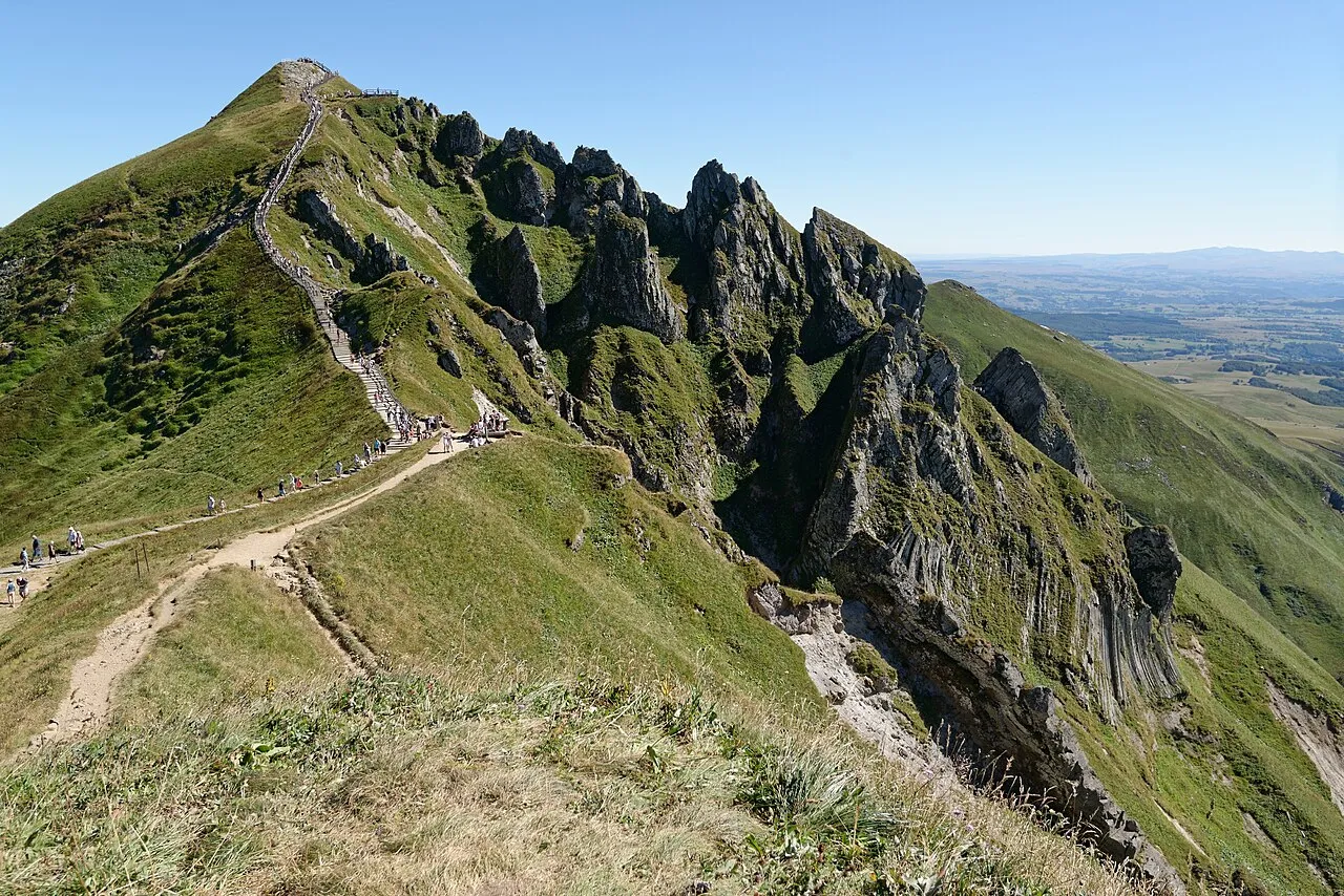
Puy de Sancy Marie-Lan Nguyen · CC BY 4.0 -
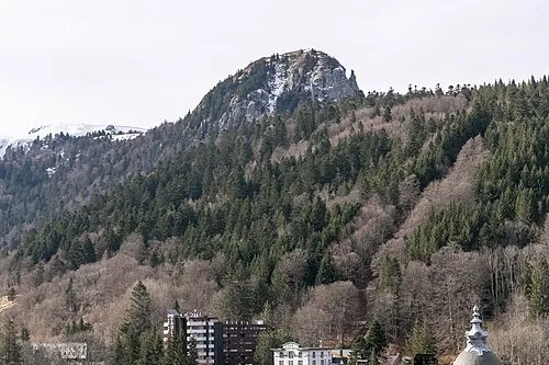
Le Capucin Pymouss · CC BY-SA 4.0 -
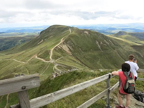
Puy Ferrand Tangopaso · Public domain -
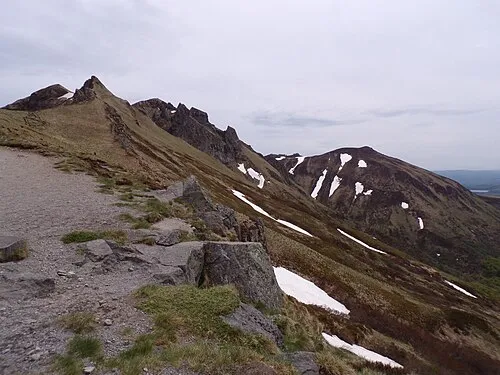
Puy Redon Sucreroux · CC BY-SA 4.0 -
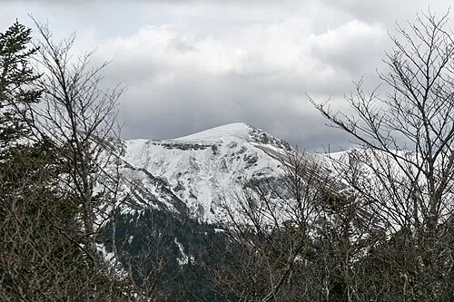
Puy de Cacadogne Pymouss · CC BY-SA 4.0


Climate of Bois du Domais
Best months for sightseeingBest months for sightseeing: July–August.
This month · November
A cold month
Day 6° · Night -2° · Rain 76 mm
- Hottest month
- July (day 20°)
- Coldest month
- January (night -5°)
- Wettest month
- May (98 mm)
- Driest month
- March (56 mm)
Bars: average monthly low and high temperature. Below: precipitation. Monthly averages for 1970–2000 at about 18 km resolution, adjusted for elevation. Highlighted months are mild and relatively dry. Source: WorldClim 2.1 (CC BY 4.0).
Show values as a table
| Month | Jan | Feb | Mar | Apr | May | Jun | Jul | Aug | Sep | Oct | Nov | Dec |
|---|---|---|---|---|---|---|---|---|---|---|---|---|
| Average high (°C) | 2° | 3° | 6° | 9° | 13° | 17° | 20° | 20° | 16° | 12° | 6° | 3° |
| Average low (°C) | -5° | -5° | -3° | -1° | 3° | 6° | 8° | 8° | 5° | 3° | -2° | -4° |
| Precipitation (mm) | 70 | 62 | 56 | 72 | 98 | 84 | 64 | 78 | 83 | 90 | 76 | 72 |
How to get to Bois du Domais
The nearest airport is Clermont-Ferrand Auvergne airport (CFE), 44 km to the northeast as the crow flies. The nearest large city is Clermont-Ferrand, 39 km to the northeast.
Airports
- Clermont-Ferrand Auvergne airport (CFE) Clermont-Ferrand 44 kmnortheast
- Aurillac airport (AUR) Aurillac 73 kmsouthwest
- Brive Souillac airport (BVE) Brive 114 kmsouthwest
Nearby large cities
- Clermont-Ferrand Population: 147.9K 39 kmnortheast
- Saint-Etienne Population: 176.3K 125 kmeast
- Limoges Population: 141.2K 126 kmwest
- Lyon Population: 520.8K 163 kmeast
- Villeurbanne Population: 131.4K 166 kmeast
Straight-line distances; road distances are longer. Airport data: OurAirports.
Day trips from Bois du Domais
Within 100 km: 155 historic and cultural sites, 476 natural sites, 229 lakes, rivers and coasts.
0–25 km113 places
- Lac de Servière Lake 18 kmN
- Lac Pavin Lake 8 kmE
- Lac de Montcineyre Lake 9 kmSE
- Lac de la Landie Lake 8 kmS
25–60 km316 places
- Étang de Tix Lake 45 kmNW
- Lac de Tazenat Lake 56 kmN
- Étang de la Ramade Lake 43 kmNW
- Étang Neuf Lake 54 kmN
60–100 km431 places
- Puy Bien Mountain 75 kmE
- Vassivière Island 80 kmNW
- Ancien îlot Gambetta Island 68 kmSW
- Étang de Taysse Lake 73 kmW
Straight-line distances.
Nearest towns and villages
-
Picherande Village, Arrondissement of Issoire3.6 km SW
-
Picherande Village, Picherande3.5 km SW
-
Chareire Village, Picherande1.4 km SW
-
Chastreix Village, Arrondissement of Issoire4.9 km NW
-
Saint-Donat Village, Arrondissement of Issoire6.2 km SW
-
Beaubie Village, Picherande3.6 km S
Nearby attractions & nature
Everything nearby-
Montagne du Meyniau Mountain, Chastreix1.8 km NE
-
Montagne de Bladanet Mountain, Chastreix1.8 km N
-
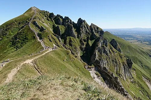 Puy de Sancy Mountain, Mont-Dore4.4 km NE
-
Puy Ferrand Mountain, Chambon-sur-Lac4.6 km NE
-
Monts d'Auvergne Mountain, Puy-de-Dôme3.3 km W
-
Puy de Paillaret Mountain, Besse-et-Saint-Anastaise3.5 km NE
-
Puy Gros (2) Mountain, Chastreix3.6 km NE
-
Puy Redon Mountain, Mont-Dore4.6 km N
More nature in France
-
 Pic Intermédiaire Mountain, Chambon-sur-Lac5.4 km NE
-
Puy de Cacadogne Mountain, Chambon-sur-Lac5.7 km NE
-
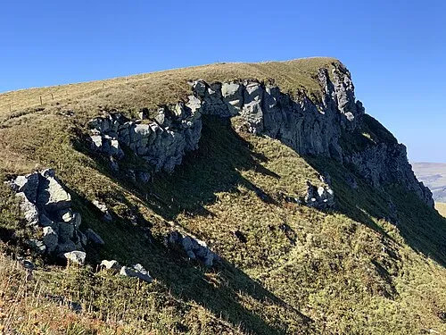 Puy de Cliergue Mountain, La Tour-d'Auvergne5.8 km N
-
Montredon Mountain, Chastreix3.8 km N
-
Le Capucin Mountain, Mont-Dore7.7 km N
-
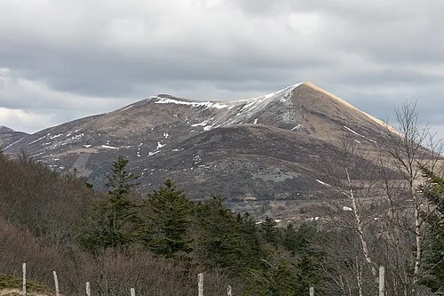 Puy de l'Angle Mountain, Mont-Dore9.8 km NE
Sources & licences
Data last updated: