- Elevation
- 315 m
- above sea level
- Local time
- UTC+01:00
- Europe/Paris · UTC+01:00
- Airports
- CFE Clermont-Ferrand Auvergne airport30 km
- LYS Lyon Saint-Exupéry Airport120 km
About Couzon
Couzon is a river. Location: Puy-de-Dôme, Auvergne-Rhône-Alpes. The best months to visit are June–September. The nearest airport is Clermont-Ferrand Auvergne airport (30 km). Nearby sights include Ruisseau le Miodex and Grun de Chignore.
Climate of Couzon
Best months for sightseeingBest months for sightseeing: June–September.
This month · November
A cold month
Day 11° · Night 3° · Rain 50 mm
- Hottest month
- July (day 26°)
- Coldest month
- January (night 0°)
- Wettest month
- May (83 mm)
- Driest month
- February (36 mm)
Bars: average monthly low and high temperature. Below: precipitation. Monthly averages for 1970–2000 at about 18 km resolution, adjusted for elevation. Highlighted months are mild and relatively dry. Source: WorldClim 2.1 (CC BY 4.0).
Show values as a table
| Month | Jan | Feb | Mar | Apr | May | Jun | Jul | Aug | Sep | Oct | Nov | Dec |
|---|---|---|---|---|---|---|---|---|---|---|---|---|
| Average high (°C) | 7° | 9° | 12° | 15° | 19° | 22° | 26° | 26° | 22° | 17° | 11° | 8° |
| Average low (°C) | 0° | 1° | 3° | 5° | 9° | 12° | 14° | 14° | 11° | 8° | 3° | 1° |
| Precipitation (mm) | 41 | 36 | 39 | 53 | 83 | 75 | 60 | 78 | 72 | 60 | 50 | 44 |
Other places to visit in this season: June July August September
How to get to Couzon
The nearest airport is Clermont-Ferrand Auvergne airport (CFE), 30 km to the west as the crow flies. The nearest large city is Clermont-Ferrand, 36 km to the west.
Airports
- Clermont-Ferrand Auvergne airport (CFE) Clermont-Ferrand 30 kmwest
- Lyon Saint-Exupéry Airport (LYS) Colombier-Saugnieu, Rhône 120 kmeast
- Aurillac airport (AUR) Aurillac 130 kmsouthwest
Nearby large cities
- Clermont-Ferrand Population: 147.9K 36 kmwest
- Saint-Etienne Population: 176.3K 75 kmsoutheast
- Lyon Population: 520.8K 101 kmeast
- Villeurbanne Population: 131.4K 104 kmeast
- Limoges Population: 141.2K 179 kmwest
Straight-line distances; road distances are longer. Airport data: OurAirports.
Day trips from Couzon
Within 100 km: 133 historic and cultural sites, 640 natural sites, 275 lakes, rivers and coasts.
0–25 km53 places
- Puy Bien Mountain 11 kmE
- Puy d'Oscot Mountain 11 kmNE
- Puy Gros Mountain 19 kmE
- Montagne de Monthiallier Mountain 24 kmSE
25–60 km331 places
- Lac de Tazenat Lake 50 kmNW
- Lac de Servière Lake 55 kmW
- Lac Pavin Lake 59 kmSW
- Lac de Guéry Lake 58 kmW
60–100 km664 places
- Bois Dieu Natural site 93 kmNE
- Étang de Tix Lake 81 kmW
- Étang de la Ramade Lake 87 kmW
- Étang Neuf Lake 80 kmW
Straight-line distances.
Nearest towns and villages
-
Courpière Village, Arrondissement of Thiers0.6 km W
-
Courpière Village, Courpière0.3 km NW
-
Sermentizon Village, Arrondissement of Thiers3.6 km W
-
Sermentizon Village, Sermentizon3.6 km W
-
Bélime Village, Courpière1.5 km NW
-
Sauviat Village, Arrondissement of Thiers4.6 km S
Nearby attractions & nature
Everything nearby-
Ruisseau le Miodex River, Puy-de-Dôme4.7 km S
-
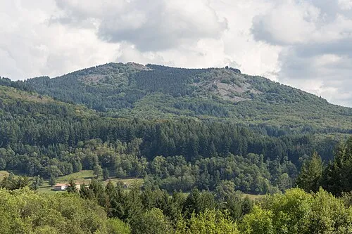 Grun de Chignore Mountain, Vollore-Ville8.4 km NE
-
Ruisseau la Faye River, Puy-de-Dôme7.5 km SE
-
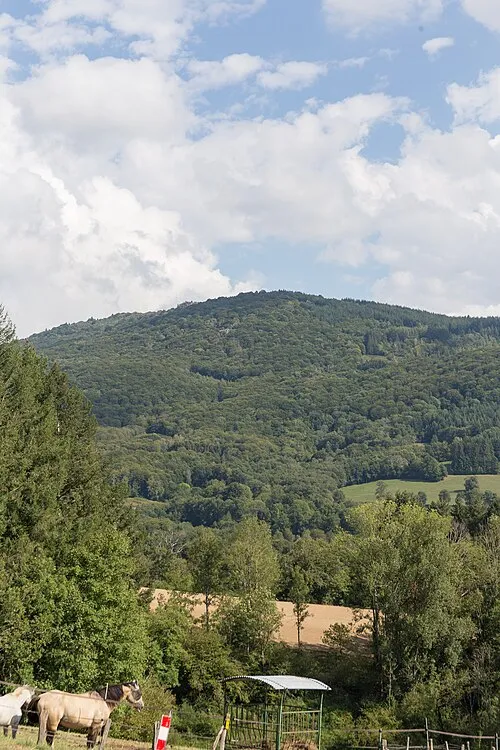 Roc Blanc Mountain, Sainte-Agathe9.9 km NE
-
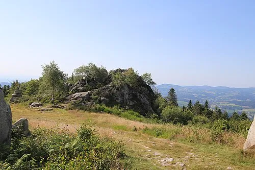 Pierre Pamole Mountain, Vollore-Montagne12 km NE
-
Cheix Blanc Mountain, Viscomtat14 km NE
-
Puy d'Oscot Mountain, Sainte-Agathe11 km NE
-
Puy Bien Mountain, La Renaudie11 km E
Sources & licences
Data last updated: