Arrondissement of Saint-Étienne
Located in Loire, Auvergne-Rhône-Alpes Coordinates: 45°25′18″ N 4°29′52″ E
- Population
- 427,009
- 427K
- Elevation
- 875 m
- above sea level
- Local time
- UTC+01:00
- Europe/Paris · UTC+01:00
- Places inside
- 75
- listed under Arrondissement of Saint-Étienne
- Airports
- LYS Lyon Saint-Exupéry Airport57 km
- GNB Grenoble Alpes Isère Airport65 km
About Arrondissement of Saint-Étienne
Arrondissement of Saint-Étienne is a municipality. Location: Loire, Auvergne-Rhône-Alpes. Population: 427,009. Elevation: 875 m. The best months to visit are July–August. The nearest airport is Lyon Saint-Exupéry Airport (57 km). Nearby sights include Ruisseau le Ban and Janon.
Photos of Arrondissement of Saint-Étienne
-
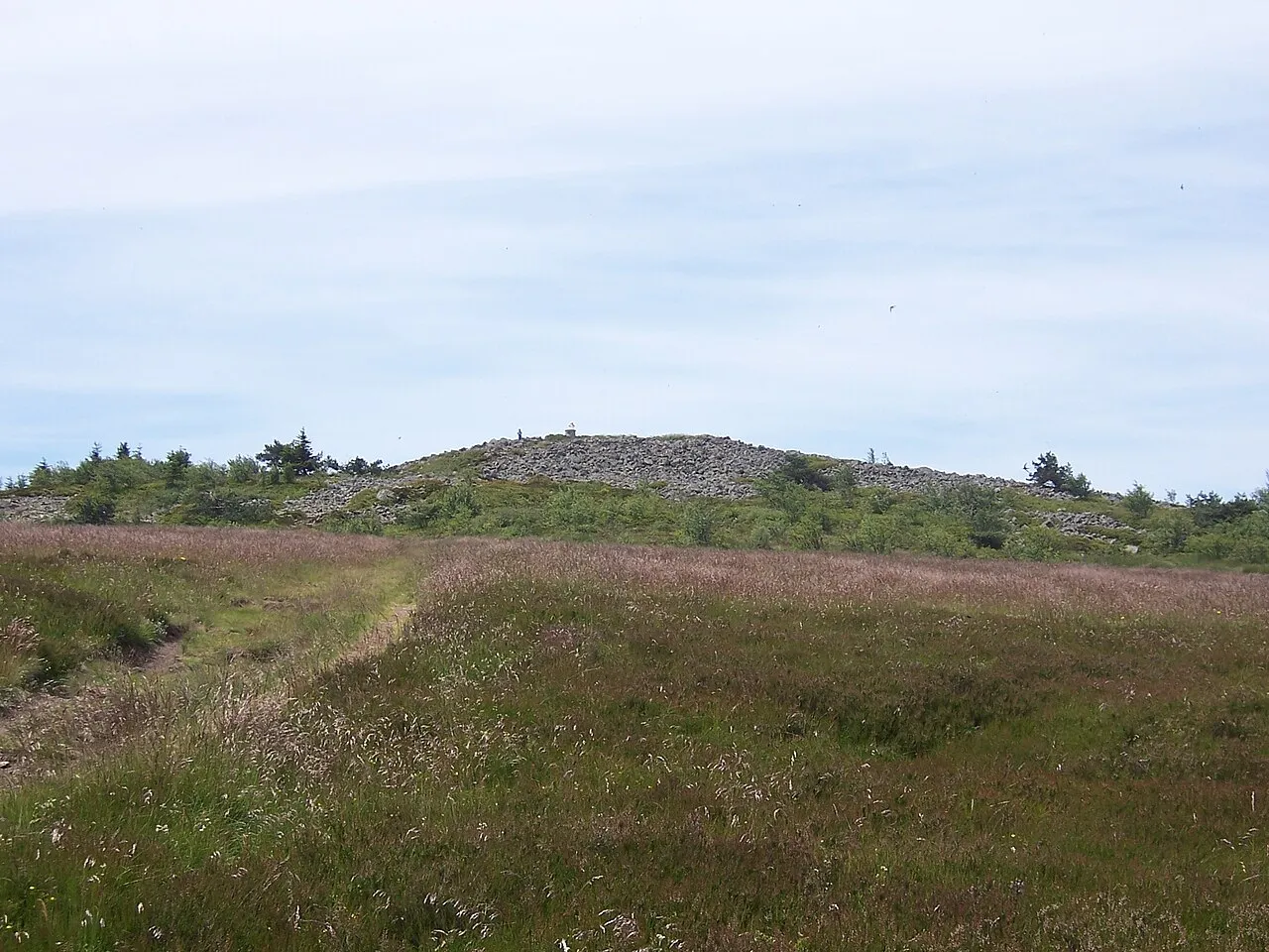
Crêt de la Perdrix wikijoe · Public domain -
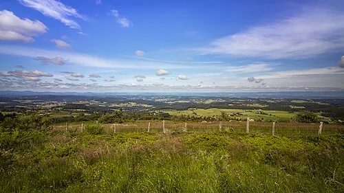
Chaussitre Sandrine Néel · CC BY 2.0 -
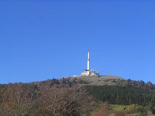
Crêt de l'Œillon Phillllippe · CC BY-SA 3.0 -
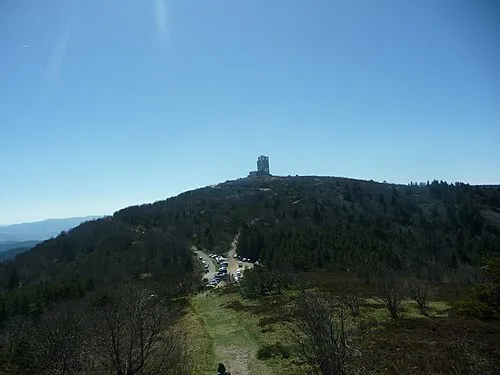
Crêt de Botte Anthospace · CC BY-SA 4.0 -
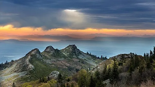
Les Trois Dents Olivier-pilat · CC BY-SA 4.0


Climate of Arrondissement of Saint-Étienne
Best months for sightseeingBest months for sightseeing: July–August.
This month · November
A cold month
Day 7° · Night 1° · Rain 78 mm
- Hottest month
- July (day 23°)
- Coldest month
- January (night -2°)
- Wettest month
- May (96 mm)
- Driest month
- February (53 mm)
Bars: average monthly low and high temperature. Below: precipitation. Monthly averages for 1970–2000 at about 18 km resolution, adjusted for elevation. Highlighted months are mild and relatively dry. Source: WorldClim 2.1 (CC BY 4.0).
Show values as a table
| Month | Jan | Feb | Mar | Apr | May | Jun | Jul | Aug | Sep | Oct | Nov | Dec |
|---|---|---|---|---|---|---|---|---|---|---|---|---|
| Average high (°C) | 4° | 5° | 9° | 11° | 16° | 20° | 23° | 23° | 19° | 13° | 7° | 5° |
| Average low (°C) | -2° | -2° | 0° | 2° | 6° | 9° | 12° | 12° | 9° | 5° | 1° | -1° |
| Precipitation (mm) | 62 | 53 | 61 | 77 | 96 | 86 | 67 | 79 | 95 | 94 | 78 | 64 |
How to get to Arrondissement of Saint-Étienne
The nearest airport is Lyon Saint-Exupéry Airport (LYS), 57 km to the northeast as the crow flies. The nearest large city is Saint-Etienne, 9 km to the west.
Airports
- Lyon Saint-Exupéry Airport (LYS) Colombier-Saugnieu, Rhône 57 kmnortheast
- Grenoble Alpes Isère Airport (GNB) Grenoble 65 kmeast
- Chambéry Aix les Bains airport (CMF) Chambéry 111 kmeast
Nearby large cities
- Saint-Etienne Population: 176.3K 9 kmwest
- Lyon Population: 520.8K 46 kmnortheast
- Villeurbanne Population: 131.4K 48 kmnortheast
- Grenoble Population: 158.6K 99 kmeast
- Clermont-Ferrand Population: 147.9K 117 kmwest
Straight-line distances; road distances are longer. Airport data: OurAirports.
Day trips from Arrondissement of Saint-Étienne
Within 100 km: 169 historic and cultural sites, 734 natural sites, 247 lakes, rivers and coasts.
0–25 km100 places
- Réservoir de Couzon Lake 13 kmNE
- La Chaux de l'Égalet Mountain 9 kmE
- le Bois Paradis Mountain 9 kmSE
- Forêt de Taillard Natural site 19 kmS
25–60 km341 places
- Parc de la Tête d'Or Natural site 48 kmNE
- Mont Plaux Mountain 55 kmSW
- Rocher de Pierre Dure Mountain 51 kmW
- Petit Lac Mountain 50 kmSW
60–100 km709 places
- Alba-la-Romaine (Ardèche, France) -- Théâtre gallo-romain Historic site 96 kmS
- Puy Bien Mountain 73 kmNW
- Étang des Vavres Lake 86 kmNE
- Étang de Tabouret Lake 82 kmNE
Straight-line distances.
Arrondissement of Saint-Étienne and similar cities
Side by side with cities of similar size in the same country: population, elevation and climate.
| Measure | Arrondissement of Saint-Étienne | Toulouse | Lyon | Nice |
|---|---|---|---|---|
| Population | 427K | 511.7K | 520.8K | 342.7K |
| Elevation | 875 m | 150 m | 173 m | 25 m |
| Summer day (hottest month) | 23° | 28° | 27° | 28° |
| Winter night (coldest month) | -2° | 2° | 1° | 5° |
| Annual rainfall | 912 mm | 683 mm | 844 mm | 807 mm |
| Best months | Jul–Aug | May–Oct | May–Sep | May–Sep |
| Distance | — | 316 km | 46 km | 291 km |
Climate values are 1970–2000 monthly averages; straight-line distance.
Places in Arrondissement of Saint-Étienne
75 places- 1 Saint-Étienne 171.9K
- 2 Saint-Chamond 35.3K
- 3 Firminy 17K
- 4 Rive-de-Gier 15.2K
- 5 Le Chambon-Feugerolles 12.5K
- 6 Andrézieux-Bouthéon 9.8K
- 7 Roche-la-Molière 9.7K
- 8 Unieux 8.8K
- 9 Sorbiers 8K
- 10 Villars 8K
- 11 La Ricamarie 7.9K
- 12 La Talaudière 6.7K
- 13 Saint-Jean-Bonnefonds 6.7K
- 14 Saint-Priest-en-Jarez 6.1K
- 15 Saint-Genest-Lerpt 6.1K
- 16 La Grand-Croix 5.1K
- 17 Saint-Paul-en-Jarez 4.8K
- 18 L'Horme 4.8K
- 19 Lorette 4.7K
- 20 La Fouillouse 4.4K
- 21 Genilac 3.9K
- 22 Pélussin 3.8K
- 23 Fraisses 3.7K
- 24 Saint-Martin-la-Plaine 3.7K
- 25 Saint-Héand 3.6K
- 26 Bourg-Argental 2.9K
- 27 Chavanay 2.9K
- 28 Saint-Genest-Malifaux 2.9K
- 29 L'Étrat 2.6K
- 30 Saint-Joseph 1.9K
- 31 Saint-Christo-en-Jarez 1.9K
- 32 Maclas 1.8K
- 33 Saint-Pierre-de-Bœuf 1.7K
- 34 Cellieu 1.7K
- 35 Châteauneuf 1.6K
- 36 La Tour-en-Jarez 1.5K
- 37 Farnay 1.4K
- 38 Saint-Paul-en-Cornillon 1.4K
- 39 Marlhes 1.3K
- 40 Saint-Romain-en-Jarez 1.2K
- 41 Saint-Julien-Molin-Molette 1.2K
- 42 Jonzieux 1.1K
- 43 Saint-Sauveur-en-Rue 1.1K
- 44 Planfoy 1K
- 45 La Valla-en-Gier 1K
- 46 Saint-Romain-les-Atheux 968
- 47 Roisey 917
- 48 Tartaras 840
- 49 Véranne 830
- 50 Doizieux 824
- 51 Saint-Michel-sur-Rhône 811
- 52 La Terrasse-sur-Dorlay 783
- 53 Chuyer 777
- 54 Marcenod 718
- 55 Valfleury 707
- 56 Fontanès 672
- 57 Vérin 671
- 58 Saint-Appolinard 670
- 59 Malleval 578
- 60 La Chapelle-Villars 529
Bar: population relative to the most populous place in this list.
Nearby attractions & nature
Everything nearby-
Ruisseau le Ban River, Loire1.6 km E
-
Janon River, Loire5.5 km N
-
Bois Farost Natural site, Loire8.6 km SW
-
Parc naturel régional du Pilat Natural site, Loire9.5 km E
-
Ruisseau d'Onzon River, Loire11 km NW
-
Bois Panère Natural site, Loire14 km S
-
Réservoir de Couzon Lake, Loire13 km NE
-
Ruisseau Valchérie River, Loire13 km W
Sources & licences
Data last updated: