Hautes-Alpes
Located in Provence-Alpes-Côte d'Azur Region, France Coordinates: 44°40′50″ N 6°17′23″ E

- Population
- 141,677
- 141.7K
- Elevation
- 1,254 m
- above sea level
- Local time
- UTC+01:00
- Europe/Paris · UTC+01:00
- Places inside
- 163
- listed under Hautes-Alpes
- Airports
- CUF Cuneo International Airport107 km
- GNB Grenoble Alpes Isère Airport107 km
About Hautes-Alpes
Hautes-Alpes is a district. Location: Provence-Alpes-Côte d'Azur Region, France. Population: 141,677.
Hautes-Alpes (French pronunciation: [ot.z‿alp] ; Occitan: Auts Aups; English: Upper Alps) is a department in the Provence-Alpes-Côte d'Azur region of Southeastern France. It is located in the heart of the French Alps, after which it is named. Hautes-Alpes had a population of 143,467 as of 2023, which makes it the third least populated French department. Its prefecture is Gap; its sole subprefecture is Briançon. Its INSEE and postal code is 05.
Source: Wikipedia · CC BY-SA 4.0
Photos of Hautes-Alpes
-
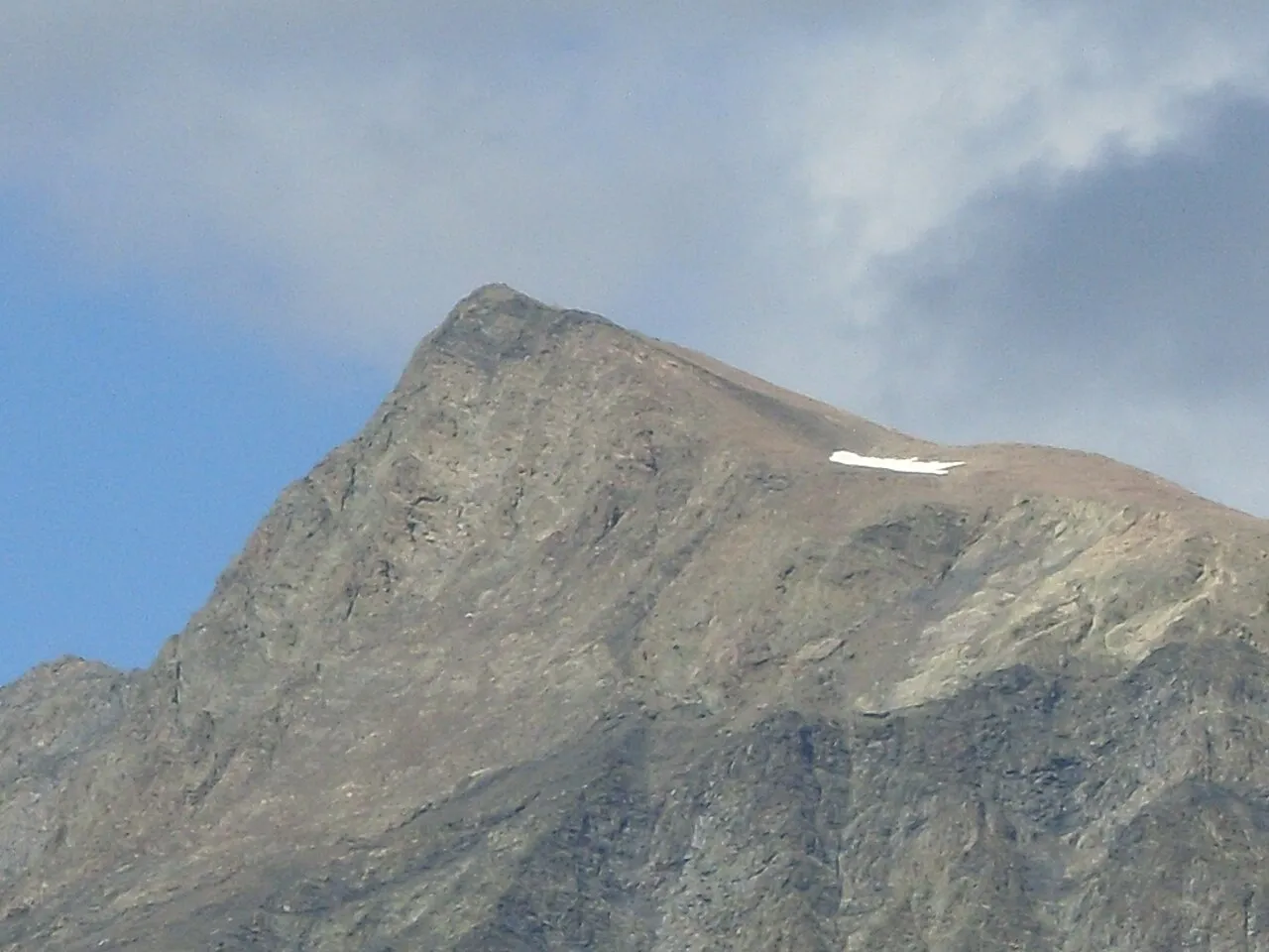
Vieux Chaillol Morelloy · CC BY-SA 3.0 -
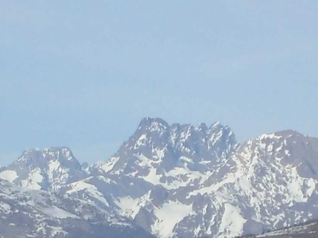
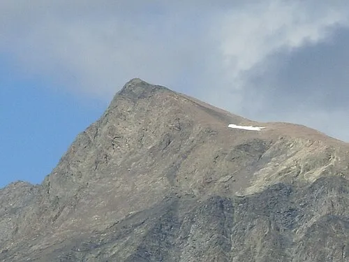
Sirac Aups · CC BY-SA 3.0 -
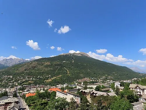
Sommet du Prorel Rémih · CC BY-SA 4.0 -
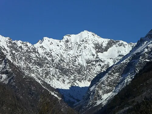
Pic de Pian Yann Forget · CC BY-SA 4.0 -
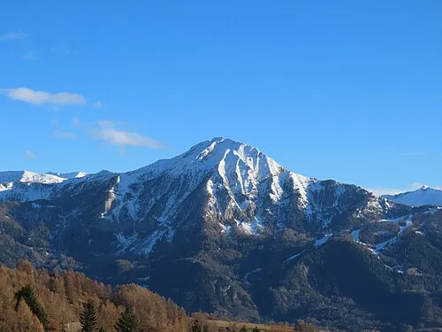
Petite Autane Rémih · CC BY-SA 4.0


Travel notes for Hautes-Alpes
From Wikivoyage
The French département Hautes-Alpes is marked by mountains and wild ranges. The tourist industry is largely dependent on skiing in winter. In summer the Alpine scenery and many outdoor activities attract visitors from across Europe (sailing, hiking, climbing and aerial sports such as gliding). The Tour de France passes through the department regularly. This draws many cycling fanatics to cycle the cols and watch the race.
Get in+
By train:
The Hautes-Alpes are easily reached by train from either the south (Marseille), the north (Grenoble) or the west (Valence). Valence and Grenoble have high-speed train connections with Paris. There are up to four train connections daily in all directions.
By plane:
There is no large airport in the Hautes-Alpes. Fly to Marseille and take the train from there.
Source: Wikivoyage · CC BY-SA 4.0 · abridged
Places bordering Hautes-Alpes
Population of Hautes-Alpes over time
| 1872 | 118,898 | |
|---|---|---|
| 1876 | 119,094 | |
| 1886 | 12,292 | |
| 2015 | 140,916 | |
| 2017 | 141,284 | |
| 2018 | 140,698 | |
| 2019 | 141,220 | |
| 2020 | 140,605 | |
| 2021 | 140,976 | |
| 2022 | 141,677 | |
| 2023 | 143,467 |
Censuses and official estimates; source: Wikidata.
Climate of Hautes-Alpes
Best months for sightseeingBest months for sightseeing: July–August.
This month · November
A wet month
Day 8° · Night 1° · Rain 147 mm
- Hottest month
- August (day 23°)
- Coldest month
- January (night -3°)
- Wettest month
- November (147 mm)
- Driest month
- July (63 mm)
Bars: average monthly low and high temperature. Below: precipitation. Monthly averages for 1970–2000 at about 18 km resolution, adjusted for elevation. Highlighted months are mild and relatively dry. Source: WorldClim 2.1 (CC BY 4.0).
Show values as a table
| Month | Jan | Feb | Mar | Apr | May | Jun | Jul | Aug | Sep | Oct | Nov | Dec |
|---|---|---|---|---|---|---|---|---|---|---|---|---|
| Average high (°C) | 4° | 4° | 6° | 9° | 14° | 18° | 22° | 23° | 18° | 13° | 8° | 5° |
| Average low (°C) | -3° | -3° | -1° | 1° | 5° | 9° | 12° | 12° | 9° | 6° | 1° | -1° |
| Precipitation (mm) | 124 | 107 | 106 | 111 | 116 | 93 | 63 | 82 | 100 | 133 | 147 | 131 |
How to get to Hautes-Alpes
The nearest airport is Cuneo International Airport (CUF), 107 km to the east as the crow flies. The nearest large city is Grenoble, 72 km to the northwest.
Airports
- Cuneo International Airport (CUF) Levaldigi (CN) 107 kmeast
- Grenoble Alpes Isère Airport (GNB) Grenoble 107 kmnorthwest
- Chambéry Aix les Bains airport (CMF) Chambéry 111 kmnorth
Nearby large cities
- Grenoble Population: 158.6K 72 kmnorthwest
- Nice Population: 342.7K 134 kmsoutheast
- Aix-en-Provence Population: 146.8K 145 kmsouthwest
- Villeurbanne Population: 131.4K 164 kmnorthwest
- Lyon Population: 520.8K 164 kmnorthwest
Straight-line distances; road distances are longer. Airport data: OurAirports.
Day trips from Hautes-Alpes
Within 100 km: 98 historic and cultural sites, 1,540 natural sites, 275 lakes, rivers and coasts.
0–25 km143 places
- Lac Faravel Lake 11 kmE
- Lac Palluel Lake 11 kmNE
- Grand Lac des Estaris Lake 7 kmNE
- Lac de la Dublée Lake 7 kmSE
25–60 km710 places
- Lac Mort Lake 55 kmNW
- Clapes River 35 kmS
- Lac Premier Lake 46 kmE
- Lac Vert Lake 40 kmE
60–100 km1,060 places
- Lakes of Vens Lake 65 kmSE
- Lac des Vaches Lake 88 kmNE
- Lacs de Ténibres Lake 70 kmSE
- Lac Rond Lake 88 kmNE
Straight-line distances.
Places in Hautes-Alpes
163 placesBar: population relative to the most populous place in this list.
Mountains & nature51
- Alpes du Dauphiné · Mountain
- Bois Assand · Natural site
- Bois d'Arambre · Natural site
- Bois de Cambarel · Natural site
- Bois de Ceillac · Natural site
- Bois de Cellas · Natural site
- Bois de Combenoire · Natural site
- Bois de la Faye · Natural site
- Bois de la Ville · Natural site
- Bois de l'Hubac · Natural site
- Bois de l'Ubac · Natural site
- Bois de l'Ubac · Natural site
- Bois de Mamozel · Natural site
- Bois de Maratra · Natural site
- Bois de Morgon · Natural site
- Bois de Péméant · Natural site
- Bois de Risoul · Natural site
- Bois de Saint-Apôtre · Natural site
- Bois de Sapete · Natural site
- Bois des Ayes · Natural site
- Bois des Eysselières · Natural site
- Bois du Casset · Natural site
- Bois du Chapitre · Natural site
- Bois du Châtellard · Natural site
- Bois du Mont Saint-Guillaume · Natural site
- Bois du Pic Cervier · Natural site
- Bois Eygliers · Natural site
- Bois Foran · Natural site
- Cascade de Razis · Natural site
- Cottian Alps · Mountain
- Dévoluy · Mountain
- Fontaine pétrifiante · Natural site
- Forêt de Durbon · Natural site
- Forêt de Marassan · Natural site
- Forêt de Montmirail · Natural site
- Glacier Blanc · Natural site
- Glacier d'Arsine · Natural site
- Glacier de Combeynot · Natural site
- Glacier de la Plate des Agneaux · Natural site
- Glacier de l'Homme · Natural site
- Glacier de Seguret-Foran · Natural site
- Glacier du Clot des Cavales · Natural site
- Glacier du Rateau · Natural site
- Glacier du Sélé · Natural site
- Glacier du Sirac · Natural site
- Glacier du Tabuchet · Natural site
- Glacier Man Cros · Natural site
- Glacier Noir · Natural site
- Gorges du Guil · Natural site
- Gran Bagna · Mountain
- Grand Bois de Poligny · Natural site
Lakes, rivers & coasts7
Nature and heritage in Hautes-Alpes
Nearby attractions & nature
Everything nearby-
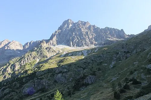 Pic des Souffles Mountain, Valjouffrey24 km NW
-
Pointes du Riou Blanc Mountain, Provence-Alpes-Côte d'Azur Region22 km N
-
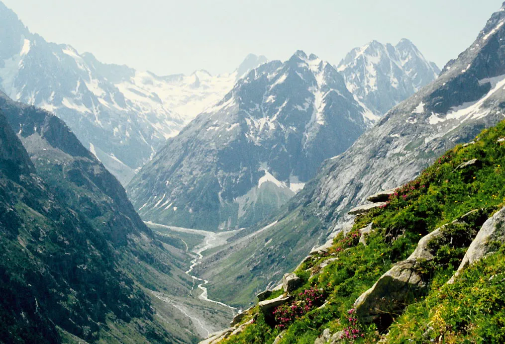 Tête de Chéret Mountain, Saint-Christophe-en-Oisans23 km N
-
Le Vaccivier Mountain, Isère21 km N
-
Pic de Turbat Mountain, Valjouffrey21 km NW
-
Grand Morgon Mountain, Pontis23 km S
Other regions in Provence-Alpes-Côte d'Azur Region
-
 Alpes-Maritimes District, Provence-Alpes-Côte d'Azur Region112 km SE
-
 Var District, Provence-Alpes-Côte d'Azur Region136 km S
-
 Vaucluse District, Provence-Alpes-Côte d'Azur Region117 km SW
-
 Alpes-de-Haute-Provence District, Provence-Alpes-Côte d'Azur Region65 km S
-
 Bouches-du-Rhône District, Provence-Alpes-Côte d'Azur Region146 km SW
Sources & licences
Data last updated: · 2 independent sources