Alpes du Dauphiné
Located in Hautes-Alpes, Provence-Alpes-Côte d'Azur Region Coordinates: 44°40′00″ N 6°07′00″ E
- Elevation
- 1,179 m
- above sea level
- Local time
- UTC+01:00
- Europe/Paris · UTC+01:00
- Airports
- GNB Grenoble Alpes Isère Airport99 km
- CMF Chambéry Aix les Bains airport110 km
About Alpes du Dauphiné
Alpes du Dauphiné is a mountain. Location: Hautes-Alpes, Provence-Alpes-Côte d'Azur Region. Elevation: 1,179 m.
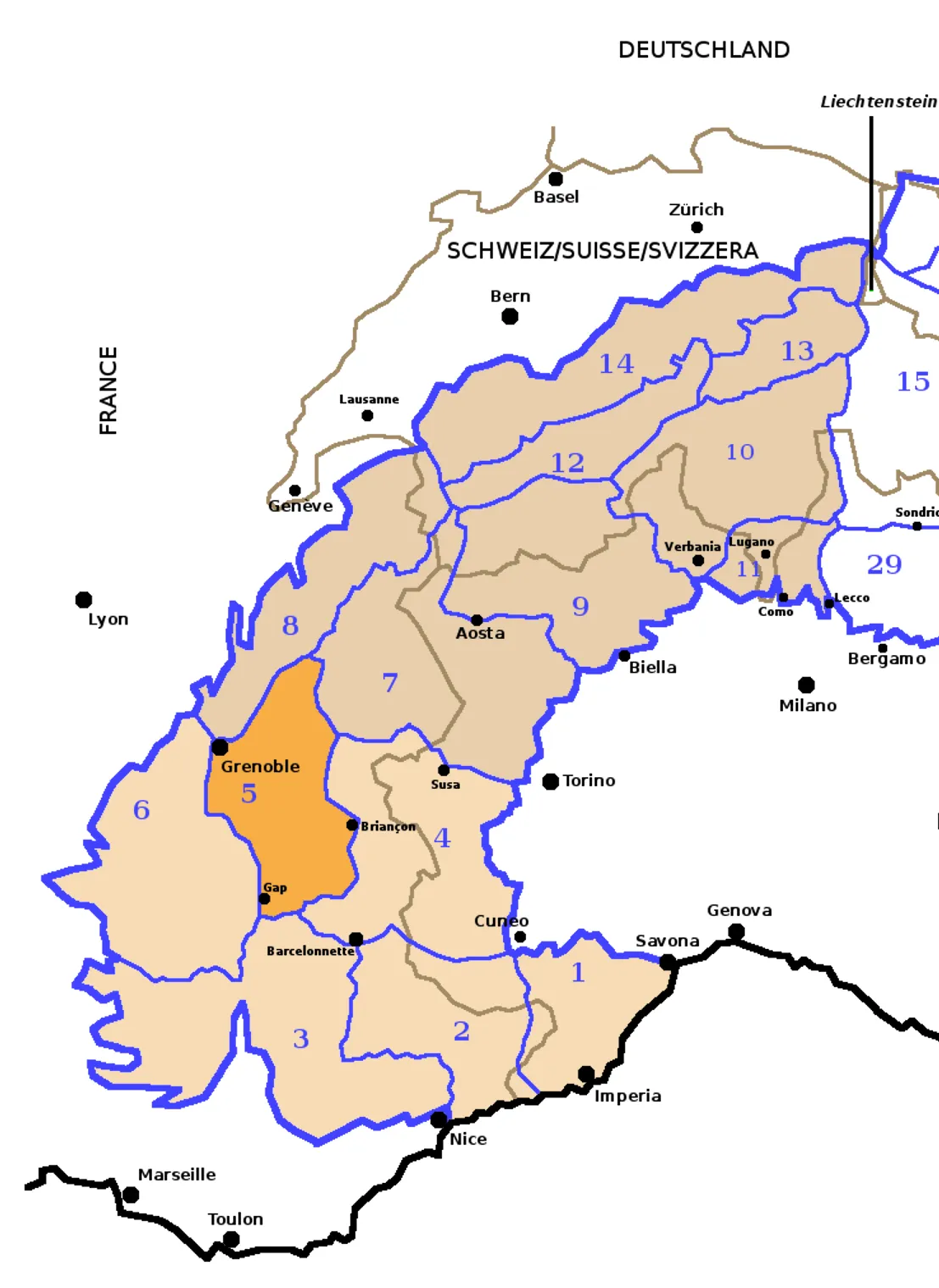
The Dauphiné Alps (Alpes du Dauphiné) are a group of mountain ranges in southeastern France, west of the main chain of the Alps. Mountain ranges within the Dauphiné Alps include the Massif des Écrins in Écrins National Park, Belledonne, Le Taillefer range and the mountains of Matheysine.
Source: Wikipedia · CC BY-SA 4.0
At a glance
- Length
- 169 km
- Area
- 25,405 km²
Source: Wikidata
Climate of Alpes du Dauphiné
Best months for sightseeingBest months for sightseeing: July–August.
This month · November
A wet month
Day 8° · Night 0° · Rain 141 mm
- Hottest month
- July (day 23°)
- Coldest month
- January (night -3°)
- Wettest month
- November (141 mm)
- Driest month
- July (60 mm)
Bars: average monthly low and high temperature. Below: precipitation. Monthly averages for 1970–2000 at about 18 km resolution, adjusted for elevation. Highlighted months are mild and relatively dry. Source: WorldClim 2.1 (CC BY 4.0).
Show values as a table
| Month | Jan | Feb | Mar | Apr | May | Jun | Jul | Aug | Sep | Oct | Nov | Dec |
|---|---|---|---|---|---|---|---|---|---|---|---|---|
| Average high (°C) | 4° | 5° | 8° | 10° | 16° | 19° | 23° | 23° | 19° | 14° | 8° | 5° |
| Average low (°C) | -3° | -3° | -1° | 1° | 6° | 9° | 11° | 12° | 9° | 5° | 0° | -2° |
| Precipitation (mm) | 107 | 94 | 95 | 95 | 104 | 93 | 60 | 80 | 98 | 122 | 141 | 117 |
How to get to Alpes du Dauphiné
The nearest airport is Grenoble Alpes Isère Airport (GNB), 99 km to the northwest as the crow flies. The nearest large city is Grenoble, 65 km to the northwest.
Airports
- Grenoble Alpes Isère Airport (GNB) Grenoble 99 kmnorthwest
- Chambéry Aix les Bains airport (CMF) Chambéry 110 kmnorth
- Cuneo International Airport (CUF) Levaldigi (CN) 120 kmeast
Nearby large cities
- Grenoble Population: 158.6K 65 kmnorthwest
- Aix-en-Provence Population: 146.8K 137 kmsouthwest
- Nice Population: 342.7K 141 kmsoutheast
- Villeurbanne Population: 131.4K 156 kmnorthwest
- Lyon Population: 520.8K 156 kmnorthwest
Straight-line distances; road distances are longer. Airport data: OurAirports.
Day trips from Alpes du Dauphiné
Within 100 km: 112 historic and cultural sites, 1,460 natural sites, 276 lakes, rivers and coasts.
0–25 km117 places
- Lac du Saulet Lake 22 kmNW
- Lac Faravel Lake 25 kmE
- Lac Palluel Lake 25 kmE
- Grand Lac des Estaris Lake 19 kmE
25–60 km701 places
- Lac Mort Lake 48 kmNW
- Clapes River 38 kmSE
- Lac Premier Lake 59 kmE
- Lac Vert Lake 53 kmE
60–100 km1,030 places
- Lakes of Vens Lake 76 kmSE
- Lac des Vaches Lake 96 kmNE
- Lacs de Ténibres Lake 80 kmSE
- Lacs de Roure Lake 63 kmE
Straight-line distances.
Nearest towns and villages
-
Saint-Julien-en-Champsaur Village, Arrondissement of Gap1.2 km SE
-
Saint-Julien-en-Champsaur Village, Saint-Julien-en-Champsaur1.2 km SE
-
Les Chanets Village, Saint-Julien-en-Champsaur<0.1 km N
-
Saint-Laurent-du-Cros Village, Arrondissement of Gap2.6 km S
-
Saint-Bonnet-en-Champsaur Village, Arrondissement of Gap3.6 km NW
-
Laye Village, Arrondissement of Gap2.6 km W
Nearby attractions & nature
Everything nearby-
Torrent d'Ancelle River, Hautes-Alpes2.3 km SE
-
Sommet de Queyron Mountain, Saint-Michel-de-Chaillol5 km NE
-
Sommet Aiguille Mountain, Laye6.1 km SW
-
Sommet Cuchon Mountain, Saint-Bonnet-en-Champsaur6.8 km N
-
Sommet du Palastre Mountain, Saint-Michel-de-Chaillol7.4 km NE
-
Puy de Manse Mountain, Ancelle6.3 km SE
-
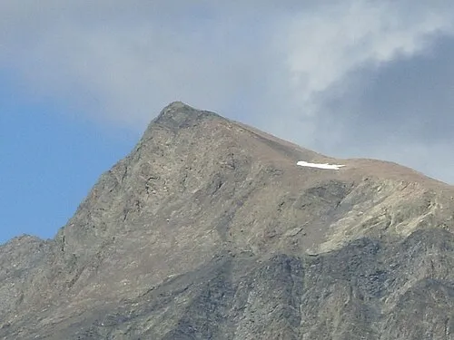 Vieux Chaillol Mountain, La Motte-en-Champsaur9.6 km NE
-
Soleil-Boeuf Mountain, Saint-Jean-Saint-Nicolas7.6 km NE
More nature in France
-
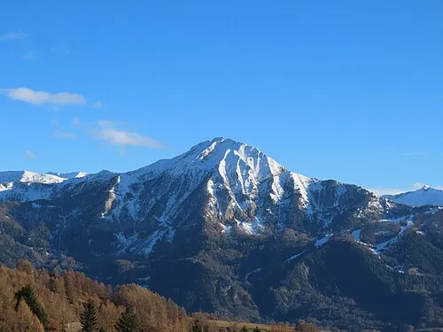 Petite Autane Mountain, Ancelle11 km E
-
La Cuquère Mountain, Gap8.2 km SW
-
Pic Melette Mountain, Rabou9 km SW
-
Le Puy Mountain, Rabou9.9 km SW
-
Massif du Champsaur Mountain, Hautes-Alpes10 km NE
-
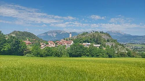 Montagne de Charance Mountain, Rabou12 km SW
Sources & licences
Data last updated: · 2 independent sources