Bois de Combenoire
Located in Hautes-Alpes, Provence-Alpes-Côte d'Azur Region Coordinates: 44°32′57″ N 5°55′21″ E
- Elevation
- 1,182 m
- above sea level
- Local time
- UTC+01:00
- Europe/Paris · UTC+01:00
- Airports
- GNB Grenoble Alpes Isère Airport102 km
- AVN Avignon Caumont airport108 km
About Bois de Combenoire
Bois de Combenoire is a natural site. Location: Hautes-Alpes, Provence-Alpes-Côte d'Azur Region. The best months to visit are July–August. The nearest airport is Grenoble Alpes Isère Airport (102 km). Nearby sights include La Manche and Pic de la Fayolle.
Climate of Bois de Combenoire
Best months for sightseeingBest months for sightseeing: July–August.
This month · November
A wet month
Day 8° · Night 1° · Rain 137 mm
- Hottest month
- July (day 24°)
- Coldest month
- January (night -3°)
- Wettest month
- November (137 mm)
- Driest month
- July (56 mm)
Bars: average monthly low and high temperature. Below: precipitation. Monthly averages for 1970–2000 at about 18 km resolution, adjusted for elevation. Highlighted months are mild and relatively dry. Source: WorldClim 2.1 (CC BY 4.0).
Show values as a table
| Month | Jan | Feb | Mar | Apr | May | Jun | Jul | Aug | Sep | Oct | Nov | Dec |
|---|---|---|---|---|---|---|---|---|---|---|---|---|
| Average high (°C) | 5° | 6° | 8° | 11° | 16° | 20° | 24° | 24° | 19° | 14° | 8° | 5° |
| Average low (°C) | -3° | -3° | -1° | 2° | 6° | 9° | 12° | 12° | 9° | 5° | 1° | -2° |
| Precipitation (mm) | 103 | 86 | 90 | 94 | 107 | 91 | 56 | 80 | 100 | 120 | 137 | 113 |
How to get to Bois de Combenoire
The nearest airport is Grenoble Alpes Isère Airport (GNB), 102 km to the northwest as the crow flies. The nearest large city is Grenoble, 72 km to the north.
Airports
- Grenoble Alpes Isère Airport (GNB) Grenoble 102 kmnorthwest
- Avignon Caumont airport (AVN) Avignon 108 kmsouthwest
- Chambéry Aix les Bains airport (CMF) Chambéry 121 kmnorth
Nearby large cities
- Grenoble Population: 158.6K 72 kmnorth
- Aix-en-Provence Population: 146.8K 120 kmsouth
- Nice Population: 342.7K 143 kmsoutheast
- Marseille Population: 877.2K 146 kmsouth
- Nîmes Population: 148.2K 148 kmsouthwest
Straight-line distances; road distances are longer. Airport data: OurAirports.
Day trips from Bois de Combenoire
Within 100 km: 134 historic and cultural sites, 1,385 natural sites, 281 lakes, rivers and coasts.
0–25 km112 places
- Sommet de Serre-Brouchou Mountain 20 kmSE
- Saint-Philippe Mountain 23 kmE
- Quigouret Mountain 23 kmW
- Sommet de Queyron Mountain 25 kmNE
25–60 km609 places
- Lac Mort Lake 55 kmN
- Clapes River 38 kmSE
- Lac du Vallon Lake 48 kmN
- Lac du Saulet Lake 29 kmN
60–100 km1,079 places
- Îles Margeries Island 100 kmW
- L'ile aux castors Island 98 kmSW
- Lac Premier Lake 72 kmE
- Lac Vert Lake 68 kmE
Straight-line distances.
Nearest towns and villages
-
La Roche-des-Arnauds Village, Arrondissement of Gap3.1 km NE
-
La Roche-des-Arnauds Village, La Roche-des-Arnauds3 km NE
-
Manteyer Village, Arrondissement of Gap3.5 km E
-
Manteyer Village, Manteyer3.5 km E
-
Montmaur Village, Arrondissement of Gap4.5 km NW
-
Furmeyer Village, Arrondissement of Gap4.1 km W
Nearby attractions & nature
Everything nearby-
La Manche Mountain, Manteyer2.9 km S
-
Pic de la Fayolle Mountain, Furmeyer4.8 km W
-
Montagne de Céuze Mountain, Châteauneuf-d'Oze5.4 km SE
-
Torrent la Béoux River, Hautes-Alpes4.9 km W
-
Trèsaubenq Mountain, Montmaur6 km NW
-
Les Sciés Mountain, Sigoyer6.2 km S
-
Fin de Para Mountain, Châteauneuf-d'Oze7.7 km S
-
Torrent du Drouxet River, Hautes-Alpes6 km W
More nature in France
-
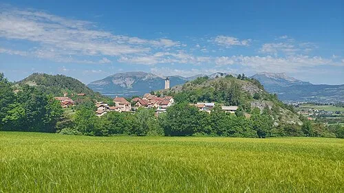 Montagne de Charance Mountain, Rabou9.3 km NE
-
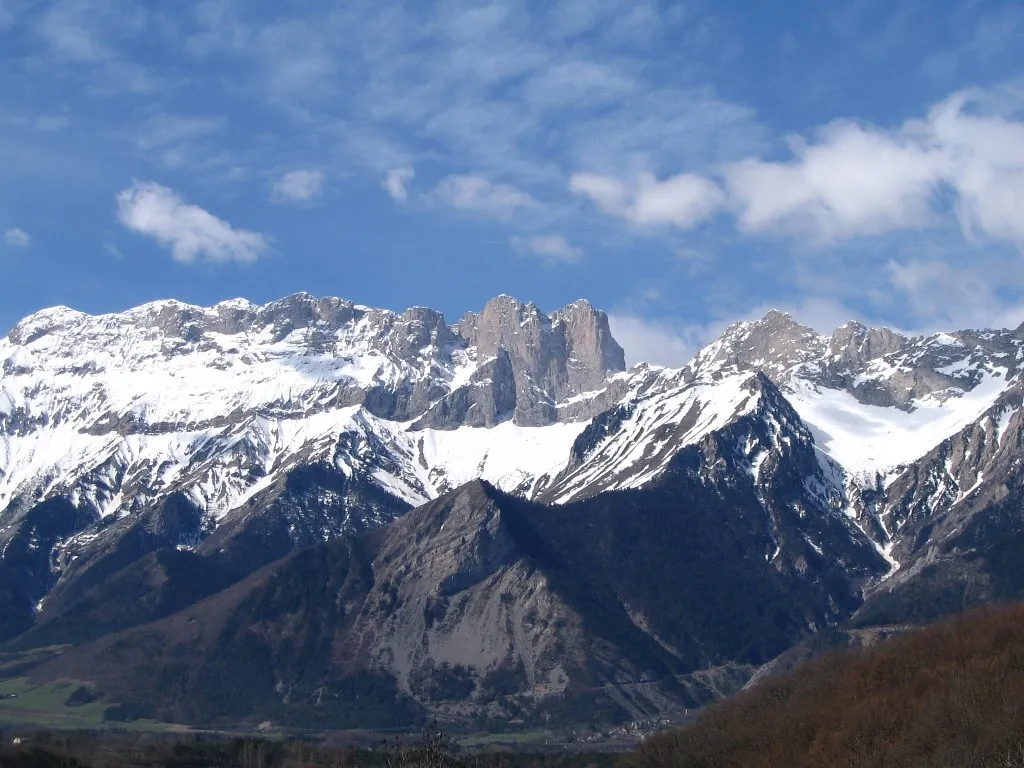 Dévoluy Mountain, Hautes-Alpes12 km N
-
Les Grosses Pierres Mountain, Esparron8.5 km SW
-
Montagne de la Plane Mountain, La Roche-des-Arnauds9.6 km N
-
Chergaie Mountain, Veynes9.8 km NW
-
Le Puy Mountain, Rabou10 km NE
Sources & licences
Data last updated: