Arrondissement of Grenoble
Located in Isère, Auvergne-Rhône-Alpes Coordinates: 45°06′20″ N 5°47′46″ E
- Population
- 750,664
- 750.7K
- Elevation
- 310 m
- above sea level
- Local time
- UTC+01:00
- Europe/Paris · UTC+01:00
- Places inside
- 263
- listed under Arrondissement of Grenoble
- Airports
- GNB Grenoble Alpes Isère Airport46 km
- CMF Chambéry Aix les Bains airport60 km
About Arrondissement of Grenoble
Arrondissement of Grenoble is a municipality. Location: Isère, Auvergne-Rhône-Alpes. Population: 750,664. Elevation: 310 m. The best months to visit are May–June, August–September. The nearest airport is Grenoble Alpes Isère Airport (46 km). Nearby sights include Forêt Domaniale de Prémol and Romanche.
Photos of Arrondissement of Grenoble
-
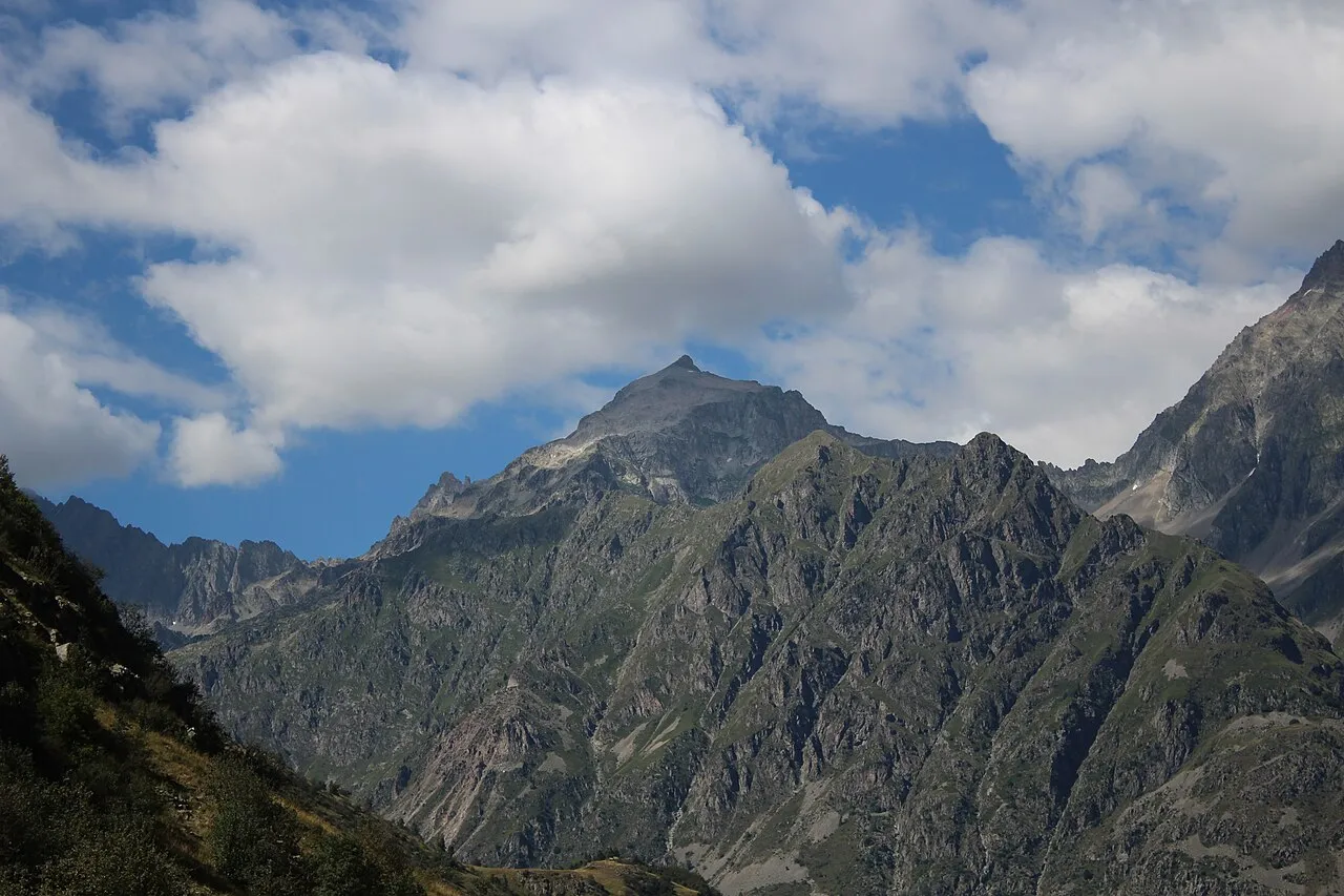
Pic Turbat Tartetatindu03 · CC BY-SA 4.0 -
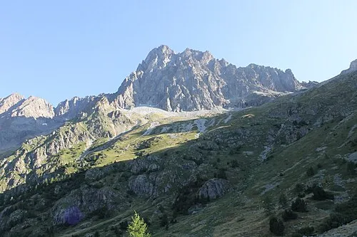
Pic des Souffles Raynaud Bannettes · CC BY-SA 4.0 -
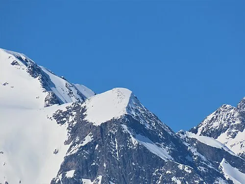
Mont Savoyat Rémih · CC BY-SA 4.0 -
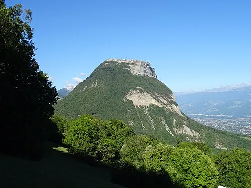
Mont Saint-Eynard Remontees · CC BY-SA 4.0 -
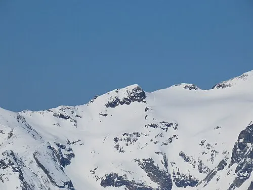
Pic de la Pyramide Rémih · CC BY-SA 4.0


Climate of Arrondissement of Grenoble
Best months for sightseeingBest months for sightseeing: May–June, August–September.
This month · November
A wet month
Day 11° · Night 3° · Rain 106 mm
- Hottest month
- July (day 28°)
- Coldest month
- January (night 0°)
- Wettest month
- November (106 mm)
- Driest month
- July (60 mm)
Bars: average monthly low and high temperature. Below: precipitation. Monthly averages for 1970–2000 at about 18 km resolution, adjusted for elevation. Highlighted months are mild and relatively dry. Source: WorldClim 2.1 (CC BY 4.0).
Show values as a table
| Month | Jan | Feb | Mar | Apr | May | Jun | Jul | Aug | Sep | Oct | Nov | Dec |
|---|---|---|---|---|---|---|---|---|---|---|---|---|
| Average high (°C) | 7° | 9° | 13° | 16° | 21° | 25° | 28° | 28° | 23° | 18° | 11° | 8° |
| Average low (°C) | 0° | 1° | 3° | 6° | 10° | 13° | 15° | 15° | 12° | 8° | 3° | 1° |
| Precipitation (mm) | 75 | 72 | 80 | 83 | 94 | 90 | 60 | 71 | 100 | 105 | 106 | 82 |
Other places to visit in this season: May June August September
How to get to Arrondissement of Grenoble
The nearest airport is Grenoble Alpes Isère Airport (GNB), 46 km to the northwest as the crow flies. For international flights: Lyon Saint-Exupéry Airport (LYS) (88 km). The nearest large city is Grenoble, 10 km to the northwest.
Airports
- Grenoble Alpes Isère Airport (GNB) Grenoble 46 kmnorthwest
- Chambéry Aix les Bains airport (CMF) Chambéry 60 kmnorth
- Lyon Saint-Exupéry Airport (LYS) Colombier-Saugnieu, Rhône 88 kmnorthwest
Nearby large cities
- Grenoble Population: 158.6K 10 kmnorthwest
- Villeurbanne Population: 131.4K 103 kmnorthwest
- Lyon Population: 520.8K 103 kmnorthwest
- Saint-Etienne Population: 176.3K 116 kmwest
- Geneva Population: 201.7K 125 kmnorth
Straight-line distances; road distances are longer. Airport data: OurAirports.
Day trips from Arrondissement of Grenoble
Within 100 km: 123 historic and cultural sites, 1,400 natural sites, 359 lakes, rivers and coasts.
0–25 km143 places
- Lac Mort Lake 8 kmS
- Lac du Vallon Lake 23 kmSE
- Lake Pierre-Châtel Lake 15 kmS
- Lac de Petichet Lake 14 kmS
25–60 km615 places
- St Alban Plage Beach 51 kmN
- Grande Île Island 49 kmN
- Petite Île Island 49 kmN
- Lac du Saulet Lake 34 kmS
60–100 km1,124 places
- Clapes River 92 kmSE
- Plage de Menthon Saint Bernard Beach 90 kmN
- Plage d'Albigny Beach 93 kmN
- Plage St Jorioz Beach 87 kmN
Straight-line distances.
Arrondissement of Grenoble and similar cities
Side by side with cities of similar size in the same country: population, elevation and climate.
| Measure | Arrondissement of Grenoble | Marseille | Lyon | Toulouse |
|---|---|---|---|---|
| Population | 750.7K | 877.2K | 520.8K | 511.7K |
| Elevation | 310 m | 28 m | 173 m | 150 m |
| Summer day (hottest month) | 28° | 29° | 27° | 28° |
| Winter night (coldest month) | 0° | 5° | 1° | 2° |
| Annual rainfall | 1,018 mm | 602 mm | 844 mm | 683 mm |
| Best months | May–Jun, Aug–Sep | May–Jun, Sep–Oct | May–Sep | May–Oct |
| Distance | — | 204 km | 103 km | 385 km |
Climate values are 1970–2000 monthly averages; straight-line distance.
Places in Arrondissement of Grenoble
263 places- 1 Grenoble 158.2K
- 2 Saint-Martin-d'Hères 38.6K
- 3 Échirolles 35.9K
- 4 Fontaine 22.4K
- 5 Voiron 20.2K
- 6 Meylan 17.1K
- 7 Saint-Égrève 15.9K
- 8 Seyssinet-Pariset 12K
- 9 Sassenage 11.4K
- 10 Pont-de-Claix 10.7K
- 11 Eybens 10.4K
- 12 Voreppe 9.4K
- 13 Vif 8.4K
- 14 Crolles 8.3K
- 15 Varces-Allières-et-Risset 8.3K
- 16 Moirans 8K
- 17 Claix 8K
- 18 Saint-Marcellin 8K
- 19 Tullins 7.7K
- 20 Vizille 7.4K
- 21 Seyssins 7.4K
- 22 Pontcharra 7.2K
- 23 Villard-Bonnot 7.1K
- 24 Saint-Ismier 6.9K
- 25 Domène 6.7K
- 26 La Tronche 6.6K
- 27 Gières 6.6K
- 28 Rives 6.4K
- 29 Saint-Martin-le-Vinoux 5.8K
- 30 Saint-Martin-d'Uriage 5.4K
- 31 Montbonnot-Saint-Martin 5K
- 32 La Mure 5K
- 33 Le Versoud 4.8K
- 34 Coublevie 4.7K
- 35 Saint-Laurent-du-Pont 4.5K
- 36 Vinay 4.2K
- 37 Villard-de-Lans 4.2K
- 38 Allevard 4.1K
- 39 Corenc 4K
- 40 Jarrie 3.7K
- 41 Vaulnaveys-le-Haut 3.7K
- 42 Renage 3.5K
- 43 Saint-Jean-de-Moirans 3.5K
- 44 Crêts en Belledonne 3.4K
- 45 Froges 3.3K
- 46 Le Bourg-d'Oisans 3.3K
- 47 Le Touvet 3.3K
- 48 La Buisse 3.1K
- 49 Bernin 3.1K
- 50 Champ-sur-Drac 3K
- 51 Chapareillan 3K
- 52 Autrans-Méaudre en Vercors 3K
- 53 Saint-Nazaire-les-Eymes 3K
- 54 Fontanil-Cornillon 2.7K
- 55 Lans-en-Vercors 2.6K
- 56 Le Cheylas 2.6K
- 57 La Terrasse 2.6K
- 58 Brié-et-Angonnes 2.6K
- 59 Saint-Étienne-de-Crossey 2.5K
- 60 Chatte 2.5K
Bar: population relative to the most populous place in this list.
Nearby attractions & nature
Everything nearby-
Forêt Domaniale de Prémol Natural site, Isère4.4 km E
-
Romanche River, Isère5.8 km W
-
Gresse River, Isère7.3 km W
-
Lac Mort Lake, Isère8.3 km S
-
Great Laffrey lake Lake, Isère11 km S
-
Vallée de Graisivaudan Natural site, Isère16 km N
-
Lac du Cozet Lake, Isère13 km NE
-
Lac de Petichet Lake, Isère14 km S
Sources & licences
Data last updated: