Gresse
Located in Isère, Auvergne-Rhône-Alpes Coordinates: 45°06′06″ N 5°42′12″ E
- Elevation
- 250 m
- above sea level
- Local time
- UTC+01:00
- Europe/Paris · UTC+01:00
About Gresse
Gresse is a river. Location: Isère, Auvergne-Rhône-Alpes.
In comparison
- 19 sights and natural places within 10 km Romanche, Fort de Comboire
Nearest towns and villages
-
Varces-Allières-et-Risset Village, Arrondissement of Grenoble2.4 km SW
-
Pont-de-Claix Village, Arrondissement of Grenoble2.4 km N
-
Claix Village, Arrondissement of Grenoble3.2 km NW
-
Champagnier Village, Arrondissement of Grenoble2.4 km NE
-
Champagnier Village, Champagnier2.2 km NE
-
Jarrie Village, Arrondissement of Grenoble3.1 km E
Nearby attractions & nature
Everything nearby-
Romanche River, Isère2.2 km SE
-
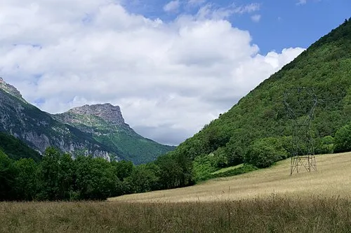 Pic Saint-Michel Mountain, Lans-en-Vercors6.7 km W
-
Grand Cheval Mountain, Lans-en-Vercors6.3 km W
-
Grande Roche de Saint-Michel Mountain, Lans-en-Vercors6.4 km W
-
Fau Cuchet Mountain, Saint-Jean-de-Vaulx6.9 km SE
-
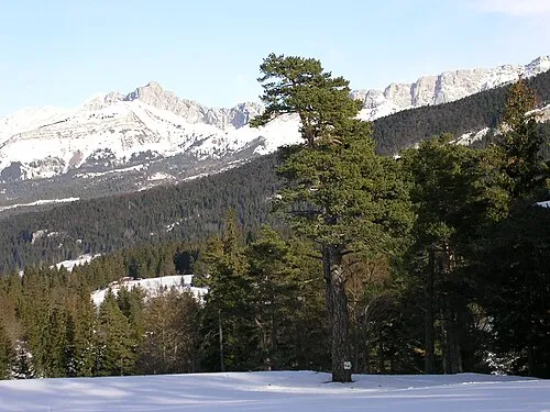 Roc Cornafion Mountain, Saint-Paul-de-Varces9.2 km SW
-
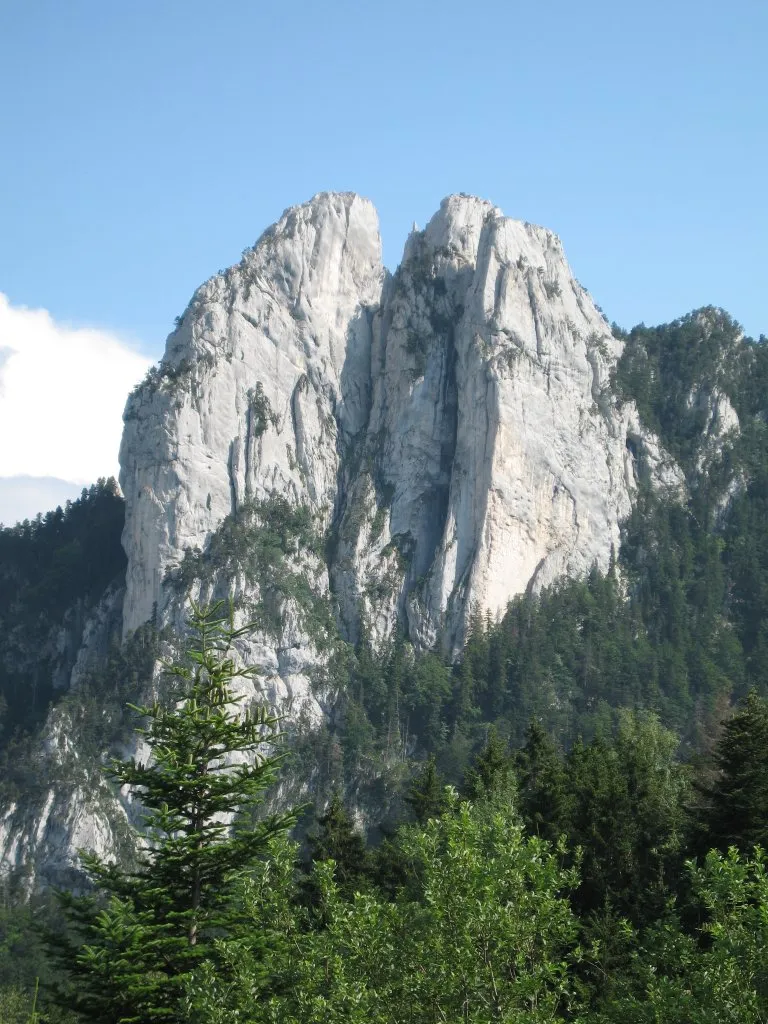 Les Trois Pucelles Mountain, Saint-Nizier-du-Moucherotte8.3 km NW
-
Le Moucherotte Mountain, Saint-Nizier-du-Moucherotte7.2 km NW
Sources & licences
Data last updated: