- Elevation
- 804 m
- above sea level
- Local time
- UTC+01:00
- Europe/Paris · UTC+01:00
- Airports
- AVN Avignon Caumont airport73 km
- GNB Grenoble Alpes Isère Airport97 km
About Berlières
Berlières is a village. Location: Auvergne-Rhône-Alpes, France. Elevation: 804 m. The best months to visit are June–September. The nearest airport is Avignon Caumont airport (73 km). Nearby sights include Montagne de Longue-Serre and Montagne d'Angèle.
Climate of Berlières
Best months for sightseeingBest months for sightseeing: June–September.
This month · November
A wet month
Day 10° · Night 1° · Rain 100 mm
- Hottest month
- July (day 26°)
- Coldest month
- January (night -2°)
- Wettest month
- October (121 mm)
- Driest month
- July (46 mm)
Bars: average monthly low and high temperature. Below: precipitation. Monthly averages for 1970–2000 at about 18 km resolution, adjusted for elevation. Highlighted months are mild and relatively dry. Source: WorldClim 2.1 (CC BY 4.0).
Show values as a table
| Month | Jan | Feb | Mar | Apr | May | Jun | Jul | Aug | Sep | Oct | Nov | Dec |
|---|---|---|---|---|---|---|---|---|---|---|---|---|
| Average high (°C) | 6° | 7° | 11° | 13° | 18° | 22° | 26° | 26° | 21° | 15° | 10° | 6° |
| Average low (°C) | -2° | -2° | 1° | 3° | 7° | 10° | 13° | 13° | 10° | 6° | 1° | -1° |
| Precipitation (mm) | 80 | 64 | 72 | 85 | 95 | 73 | 46 | 68 | 101 | 121 | 100 | 83 |
Other places to visit in this season: June July August September
How to get to Berlières
The nearest airport is Avignon Caumont airport (AVN), 73 km to the southwest as the crow flies. The nearest large city is Grenoble, 83 km to the north.
Airports
- Avignon Caumont airport (AVN) Avignon 73 kmsouthwest
- Grenoble Alpes Isère Airport (GNB) Grenoble 97 kmnorth
- Nîmes-Arles-Camargue Airport (FNI) Nîmes/Garons 109 kmsouthwest
Nearby large cities
- Grenoble Population: 158.6K 83 kmnorth
- Nîmes Population: 148.2K 106 kmsouthwest
- Aix-en-Provence Population: 146.8K 107 kmsouth
- Saint-Etienne Population: 176.3K 128 kmnorthwest
- Marseille Population: 877.2K 133 kmsouth
Straight-line distances; road distances are longer. Airport data: OurAirports.
Nearby attractions & nature
Everything nearby-
Montagne de Longue-Serre Mountain, Arnayon2.2 km E
-
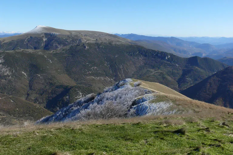 Montagne d'Angèle Mountain, Gumiane4.8 km W
-
Montagne de Buègne Mountain, Villeperdrix4.9 km S
-
Ruisseau du Lavoir River, Drôme6 km N
-
Serre du Chat Mountain, Saint-Nazaire-le-Désert6.4 km NW
-
Montagne d'Oule Mountain, La Motte-Chalancon6.6 km E
Sources & licences
Data last updated: