Rocca Traversiere
Located in Savoy, Auvergne-Rhône-Alpes Coordinates: 45°30′00″ N 7°03′00″ E
- Elevation
- 3,045 m
- above sea level
- Local time
- UTC+01:00
- Europe/Paris · UTC+01:00
- Airports
- TRN Turin Airport58 km
- NCY Annecy Meythet airport88 km
About Rocca Traversiere
Rocca Traversiere is a mountain. Location: Savoy, Auvergne-Rhône-Alpes. Elevation: 3,045 m. The nearest airport is Turin Airport (58 km). Nearby sights include Punta Tsanteleina and Punta Calabre.
Photos of Rocca Traversiere
-
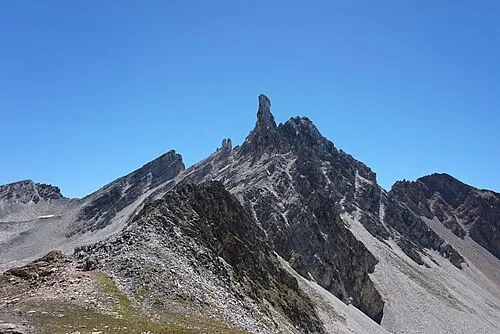
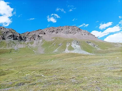
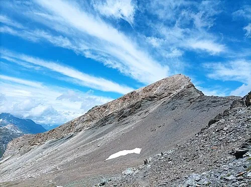
Le Dôme Tiia Monto · CC BY-SA 3.0 -
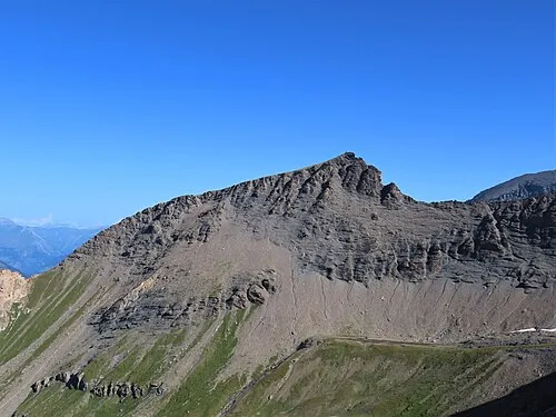
Rocher de la Davie Rémih · CC BY-SA 4.0 -
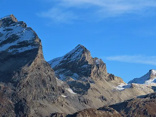
Punta Calabre Rémih · CC BY-SA 4.0


Climate of Rocca Traversiere
This month · November
A wet month
Day -4° · Night -9° · Rain 133 mm
- Hottest month
- August (day 9°)
- Coldest month
- February (night -13°)
- Wettest month
- November (133 mm)
- Driest month
- July (71 mm)
Bars: average monthly low and high temperature. Below: precipitation. Monthly averages for 1970–2000 at about 18 km resolution, adjusted for elevation. Highlighted months are mild and relatively dry. Source: WorldClim 2.1 (CC BY 4.0).
Show values as a table
| Month | Jan | Feb | Mar | Apr | May | Jun | Jul | Aug | Sep | Oct | Nov | Dec |
|---|---|---|---|---|---|---|---|---|---|---|---|---|
| Average high (°C) | -8° | -8° | -7° | -5° | 0° | 4° | 8° | 9° | 6° | 1° | -4° | -6° |
| Average low (°C) | -13° | -13° | -12° | -11° | -6° | -2° | 1° | 2° | -1° | -4° | -9° | -12° |
| Precipitation (mm) | 120 | 112 | 115 | 116 | 112 | 87 | 71 | 83 | 86 | 116 | 133 | 120 |
How to get to Rocca Traversiere
The nearest airport is Turin Airport (TRN), 58 km to the southeast as the crow flies. The nearest large city is Geneva, 105 km to the northwest.
Airports
- Turin Airport (TRN) Caselle Torinese (TO) 58 kmsoutheast
- Annecy Meythet airport (NCY) Annecy 88 kmnorthwest
- Chambéry Aix les Bains airport (CMF) Chambéry 93 kmwest
Nearby large cities
- Geneva Population: 201.7K 105 kmnorthwest
- Grenoble Population: 158.6K 111 kmwest
- Lausanne Population: 139.1K 117 kmnorth
- Bern Population: 121.6K 164 kmnorth
- Villeurbanne Population: 131.4K 172 kmwest
Straight-line distances; road distances are longer. Airport data: OurAirports.
Day trips from Rocca Traversiere
Within 100 km: 85 historic and cultural sites, 2,850 natural sites, 355 lakes, rivers and coasts.
0–25 km130 places
- Lac des Vaches Lake 24 kmSW
- Lac Rond Lake 23 kmSW
- Lac de la Plagne Lake 16 kmW
- Lac Long Lake 23 kmSW
25–60 km789 places
- Lac d'Orny Lake 56 kmN
- Lac de la Breye Lake 59 kmN
- Lac de Tsofeiret Lake 57 kmNE
- Lac du Dru Lake 59 kmN
60–100 km2,371 places
- Stausee Mattmark Lake 93 kmNE
- Lac de Fully Lake 76 kmN
- Lac de Derborence Lake 88 kmN
- Lac d'Émosson Lake 66 kmN
Straight-line distances.
Nearest towns and villages
-
Val-d'Isère Village, Arrondissement of Albertville8 km SW
-
Val d'Isère Village, Val-d'Isère8 km SW
-
Tignes Village, Tignes9.8 km W
-
Tignes Village, Arrondissement of Albertville11 km W
-
Pellaud Village, Rhêmes-Notre-Dame8 km NE
-
Le Fornet Village, Val-d'Isère6.4 km SW
Nearby attractions & nature
Everything nearby-
Punta Tsanteleina Mountain, Tignes1.9 km S
-
Punta Calabre Mountain, Val-d'Isère3.2 km S
-
Grande Sassiere Mountain, Sainte-Foy-Tarentaise4.1 km W
-
Le Dôme Mountain, Val-d'Isère5.6 km SW
-
Punta Plattes de Chamois Mountain, Savoy5.4 km NW
-
Glacier de la Sassière Natural site, Savoy4.9 km W
-
Petite Sassière Mountain, Sainte-Foy-Tarentaise5.1 km W
-
Rocher de la Davie Mountain, Tignes6.7 km W
More nature in France
-
Pointe de Picheru Mountain, Tignes5.6 km SW
-
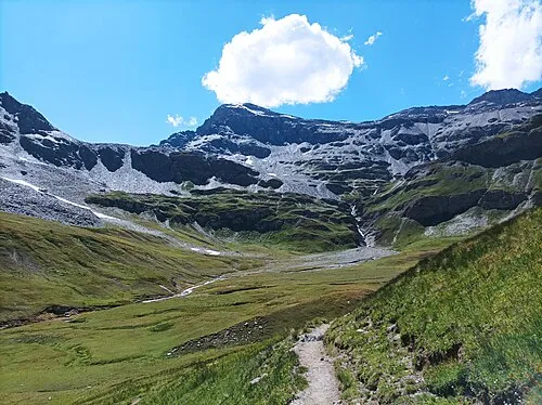 Ouille Noire Mountain, Bonneval-sur-Arc10 km S
-
 Ouille des Reys Mountain, Bonneval-sur-Arc11 km S
-
 Pelaou Blanc Mountain, Val-d'Isère12 km S
-
Punta Est Mountain, Savoy11 km NW
-
Punta Ovest Mountain, Savoy11 km NW
Sources & licences
Data last updated: · 2 independent sources