Baie du Mont-Saint-Michel
Located in France Coordinates: 48°41′17″ N 1°35′04″ W
- Local time
- UTC+01:00
- Europe/Paris · UTC+01:00
About Baie du Mont-Saint-Michel
Baie du Mont-Saint-Michel is a natural site. Location: France.
In comparison
- 4 sights and natural places within 10 km Couesnon, Mont Saint-Michel
Nearest towns and villages
-
Dragey-Ronthon Village, Arrondissement of Avranches7 km E
-
Saint-Jean-le-Thomas Village, Arrondissement of Avranches6.8 km NE
-
Carolles Village, Arrondissement of Avranches7.2 km N
-
Champeaux Village, Arrondissement of Avranches7 km NE
-
Champeaux Village, Champeaux6.8 km NE
-
Dragey-Ronthon Village, Dragey-Ronthon7 km NE
Nearby attractions & nature
Everything nearby-
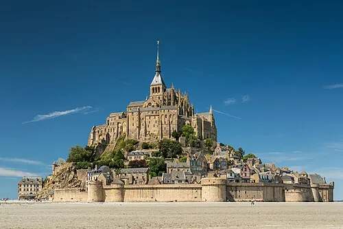 Mont Saint-Michel Island, Manche7.9 km SE
-
Mont-Saint-Michel Beach, Normandy8.1 km SE
-
Couesnon River, Manche7.7 km SE
-
 Île des Landes Island, Brittany Region19 km W
-
Anse du Guesclin Natural site, Brittany Region23 km W
-
Sélune River, Normandy14 km E
-
Forêt de Ville Cartier Natural site, Ille-et-Vilaine24 km S
-
Sée River, Normandy13 km E
Sources & licences
Data last updated: