Île Harbour
Located in Brittany Region, France Coordinates: 48°39′11″ N 2°04′10″ W
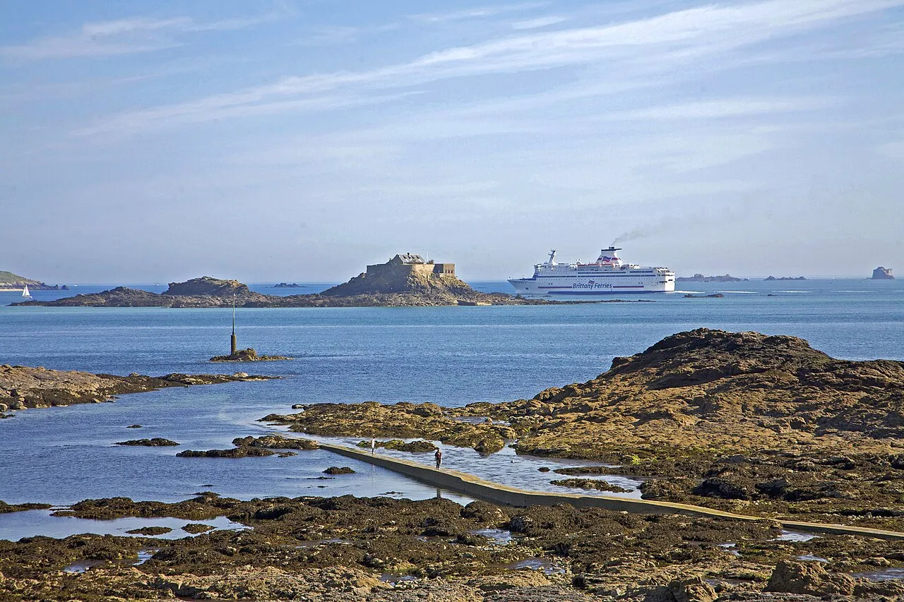
- Elevation
- 4 m
- above sea level
- Local time
- UTC+01:00
- Europe/Paris · UTC+01:00
About Île Harbour
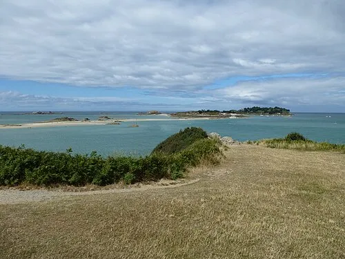
Île Harbour is an island. Location: Brittany Region, France.
At a glance
- Heritage designation
- classified historical monument, site naturel inscrit
Source: Wikidata
In comparison
- 31 sights and natural places within 10 km Grand Jardin, Petit Be Fort
Nearest towns and villages
-
Dinard Village, Arrondissement of Saint-Malo2.4 km S
-
Saint-Malo Village, Arrondissement of Saint-Malo4.5 km E
-
Saint-Lunaire Village, Arrondissement of Saint-Malo3.6 km SW
-
 Dinard Town, Dinard2.3 km S
-
Saint-Lunaire Village, Saint-Lunaire3.6 km SW
-
La Richardais Village, Arrondissement of Saint-Malo5.8 km SE
Nearby attractions & nature
Everything nearby-
Grand Jardin Island, Brittany Region2.1 km NW
-
Île de Cézembre Island, Brittany Region2.6 km N
-
Plage du Mole Beach, Saint-Malo3 km E
-
Le Grand Bey Island, Brittany Region3.9 km NE
-
Anse des Bas-Sablons Natural site, Ille-et-Vilaine3.9 km E
-
Plage de l'Éventail Beach, France3.9 km E
-
Baie du Prieuré Natural site, France3.1 km SE
-
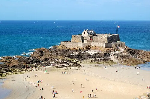 Fort National Historic site, Ille-et-Vilaine3.4 km E
More lakes, rivers and coasts in France
-
Le Petit Bey Island, Brittany Region4.1 km NE
-
Île Agot Island, Brittany Region6.8 km W
-
 archipel des Ébihens Island, L'Isle9.5 km W
-
 Île des Ehbiens Island, Brittany Region9.4 km W
-
 Île des Landes Island, Brittany Region18 km E
-
Arguenon River, Brittany Region13 km SW
Sources & licences
Data last updated: · 2 independent sources