Île Verte
Located in Brittany Region, France Coordinates: 47°46′00″ N 3°48′00″ W
- Local time
- UTC+01:00
- Europe/Paris · UTC+01:00
About Île Verte
Île Verte is an island. Location: Brittany Region, France.
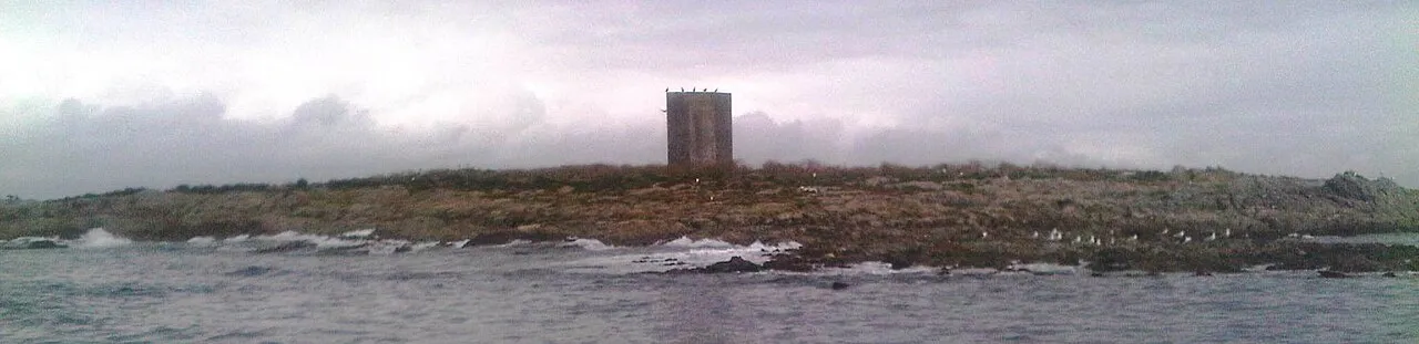
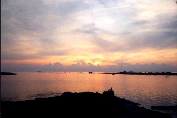
The Île Verte (Breton: Enez Glas) is an island off the south coast of Brittany in the north west of France, lying to the south of Finistère, near Trégunc and Nevez. The island is a Daymark as an aid to navigation by sailors.
Read more on Wikipedia Text: Wikipedia contributors · CC BY-SA 4.0 · shortened
In comparison
- 7 sights and natural places within 10 km Île Raguénez, Raguenes
Nearest towns and villages
-
Nevez Village, Arrondissement of Quimper5.9 km N
-
Névez Village, Nevez5.9 km N
-
Kerguillaouet Village, Nevez3.1 km N
-
Trévignon Village, Trégunc4.5 km NW
-
Trébérouant Village, Trégunc4.5 km NW
-
Célan Village, Nevez4.8 km N
Nearby attractions & nature
Everything nearby-
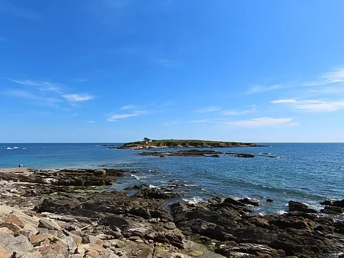 Île Raguénez Island, Brittany Region1.9 km N
-
Raguenes Beach, Nevez2.7 km N
-
Percée Île Island, Brittany Region7 km E
-
Plages de Trévignon Beach, Trégunc7.8 km NW
-
L'Aven River, Finistère6.3 km NE
-
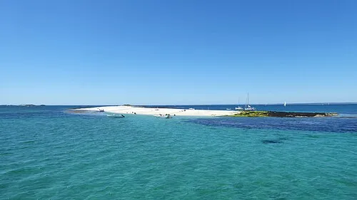 Île de Guiriden Island, Brittany Region14 km W
-
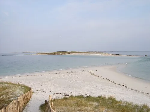 Île de Bananec Island, Brittany Region15 km W
-
 Île de Drénec Island, Brittany Region17 km W
Sources & licences
Data last updated: · 2 independent sources