- Elevation
- 5 m
- above sea level
- Local time
- UTC+01:00
- Europe/Paris · UTC+01:00
- Airports
- BES Brest Bretagne airport87 km
- RNS Rennes-Saint-Jacques Airport158 km
About Île Raguénez
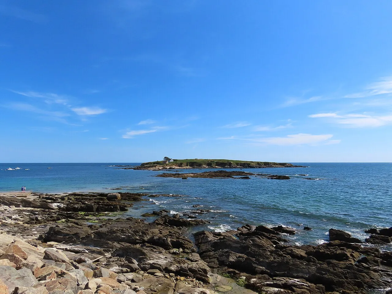
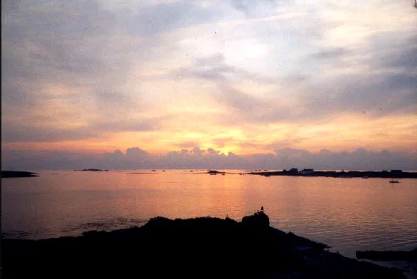
Île Raguénez is an island. Location: Brittany Region, France. The best months to visit are June–September. The nearest airport is Brest Bretagne airport (87 km). Nearby sights include Raguenes and Île Verte.
Photos of Île Raguénez
-

Saïphtj · CC BY-SA 4.0 -

Rémih · CC BY-SA 4.0 -

Gzen92 · CC BY-SA 4.0 -

Moreau.henri · CC BY-SA 4.0 -

Moreau.henri · CC BY-SA 4.0


Climate of Île Raguénez
Best months for sightseeingBest months for sightseeing: June–September.
This month · November
A wet month
Day 13° · Night 7° · Rain 126 mm
- Hottest month
- August (day 22°)
- Coldest month
- February (night 5°)
- Wettest month
- November (126 mm)
- Driest month
- July (42 mm)
Bars: average monthly low and high temperature. Below: precipitation. Monthly averages for 1970–2000 at about 18 km resolution, adjusted for elevation. Highlighted months are mild and relatively dry. Source: WorldClim 2.1 (CC BY 4.0).
Show values as a table
| Month | Jan | Feb | Mar | Apr | May | Jun | Jul | Aug | Sep | Oct | Nov | Dec |
|---|---|---|---|---|---|---|---|---|---|---|---|---|
| Average high (°C) | 9° | 10° | 12° | 14° | 17° | 20° | 22° | 22° | 20° | 16° | 13° | 10° |
| Average low (°C) | 5° | 5° | 6° | 7° | 10° | 12° | 14° | 14° | 13° | 10° | 7° | 6° |
| Precipitation (mm) | 118 | 93 | 80 | 63 | 67 | 49 | 42 | 54 | 75 | 91 | 126 | 116 |
Other places to visit in this season: June July August September
How to get to Île Raguénez
The nearest airport is Brest Bretagne airport (BES), 87 km to the northwest as the crow flies. The nearest large city is Brest, 85 km to the northwest.
Airports
- Brest Bretagne airport (BES) Brest 87 kmnorthwest
- Rennes-Saint-Jacques Airport (RNS) Saint-Jacques-de-la-Lande, Ille-et-Vilaine 158 kmeast
- Nantes Atlantique Airport (NTE) Nantes 179 kmeast
Nearby large cities
- Brest Population: 144.9K 85 kmnorthwest
- Rennes Population: 227.8K 163 kmeast
- Nantes Population: 325.1K 181 kmeast
- Angers Population: 168.3K 247 kmeast
- Plymouth Population: 260.2K 289 kmnorth
Straight-line distances; road distances are longer. Airport data: OurAirports.
Day trips from Île Raguénez
Within 100 km: 258 historic and cultural sites, 141 natural sites, 252 lakes, rivers and coasts.
0–25 km65 places
- Moros River 13 kmNW
- Plages de Trévignon Beach 6 kmNW
- Plage de Bellangenet Beach 18 kmE
- Plage du Kérou Beach 18 kmE
25–60 km152 places
- Île de Groix Island 30 kmSE
- Île aux Rats Island 30 kmW
- Plage de Kerguélen Beach 31 kmE
- Plage de Toulhars Beach 33 kmE
60–100 km434 places
- Belle Île Island 68 kmSE
- Plage du Trez-Hir Beach 92 kmNW
- Plage de Carnac Beach 60 kmSE
- Plage Beg Lann Beach 86 kmE
Straight-line distances.
Nearest towns and villages
-
Nevez Village, Arrondissement of Quimper4.1 km N
-
Névez Village, Nevez4.1 km N
-
Kerguillaouet Village, Nevez1.3 km N
-
Célan Village, Nevez2.9 km N
-
Trévignon Village, Trégunc3.1 km NW
-
Trébérouant Village, Trégunc3.1 km NW
Nearby attractions & nature
Everything nearby-
Raguenes Beach, Nevez0.9 km NE
-
 Île Verte Island, Brittany Region1.9 km S
-
Plages de Trévignon Beach, Trégunc6.4 km NW
-
Percée Île Island, Brittany Region6.9 km E
-
L'Aven River, Finistère5.3 km NE
-
Rivière de Belon River, Finistère6.2 km E
-
Phare de Port-Manec'h Landmark, Nevez4.9 km E
-
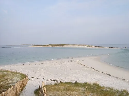 Île de Bananec Island, Brittany Region16 km SW
More lakes, rivers and coasts in France
-
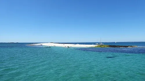 Île de Guiriden Island, Brittany Region14 km SW
-
 Île de Drénec Island, Brittany Region17 km SW
-
Île Guéotec Island, Brittany Region15 km SW
-
Île aux Moutons Island, Brittany Region17 km W
-
Île de Saint-Nicolas Island, Brittany Region17 km SW
-
Île de Penfret Island, Brittany Region13 km SW
Sources & licences
Data last updated: · 2 independent sources