Îlot Saint-Michel
Located in Brittany Region, France Coordinates: 48°39′19″ N 2°25′32″ W
- Local time
- UTC+01:00
- Europe/Paris · UTC+01:00
About Îlot Saint-Michel
Îlot Saint-Michel is an island. Location: Brittany Region, France.
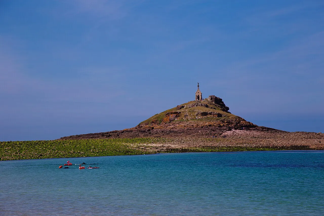
Îlot Saint-Michel (Saint Michael Island; Breton: Enez Sant Mikel) is an uninhabited island in the English Channel off the coast of Brittany in Côtes-d'Armor, France, near the resort of Sables-d'Or-les-Pins. It is part of the commune of Erquy and is accessible by foot during low tide. Located on the island is a small chapel, La Chapelle Saint-Michel de Rochecoul.
Read more on Wikipedia Text: Wikipedia contributors · CC BY-SA 4.0 · shortened
At a glance
- Heritage designation
- listed in the general inventory of cultural heritage
Source: Wikidata
In comparison
- 7 sights and natural places within 10 km Cap d'Erquy, Le Grand Pourier
Nearest towns and villages
Nearby attractions & nature
Everything nearby-
Cap d'Erquy Natural site, Brittany Region4.7 km W
-
Frémur River, Côtes-d'Armor6.1 km SE
-
Le Grand Pourier Island, Brittany Region5.3 km NW
-
Cap Fréhel Natural site, Brittany Region8.7 km NE
-
Anse des Sévignés Natural site, Côtes-d'Armor9.1 km E
-
Baie de la Frênaye Natural site, Brittany Region9.7 km E
-
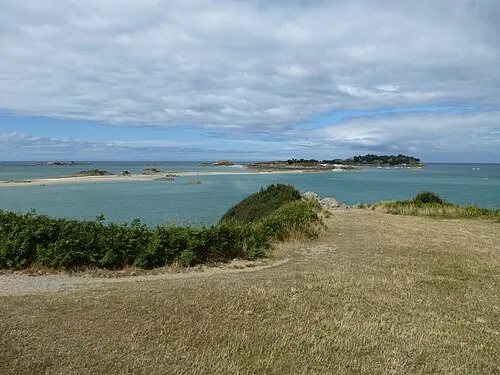 archipel des Ébihens Island, L'Isle18 km E
-
Flora River, Côtes-d'Armor14 km SW
More lakes, rivers and coasts in France
-
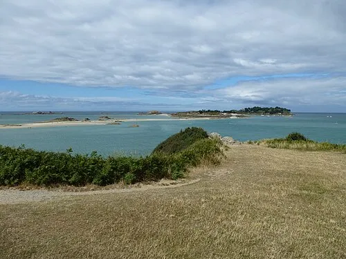 Île des Ehbiens Island, Brittany Region18 km E
-
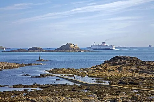 Île Harbour Island, Brittany Region26 km E
-
Étang du Guébriand Lake, Côtes-d'Armor18 km SE
-
Arguenon River, Brittany Region18 km SE
-
Île Agot Island, Brittany Region20 km E
-
Chifrouet River, Côtes-d'Armor21 km S
Sources & licences
Data last updated: · 2 independent sources