Château Saint-Sixte
Located in Grand Est, France Coordinates: 49°16′28″ N 6°29′20″ E

- Local time
- UTC+01:00
- Europe/Paris · UTC+01:00
- Elevation
- 199 m
- above sea level
About Château Saint-Sixte
Château Saint-Sixte is a historic site. Location: Grand Est, France.
The Château Saint-Sixte is a 12th-century castle in the commune of Freistroff in the Moselle département of France. The Château Saint-Sixte stands on a small plain between Freistroff and Rémelfang. It was built in the 12th century by the seigneur Wirich de Valcourt. During the Renaissance, it was transformed into a residence and was altered again in the 18th century. It was saved from ruin by the Gehl family in 1986.
Read more on Wikipedia Text: Wikipedia contributors · CC BY-SA 4.0 · shortened
At a glance
- Heritage designation
- classified historical monument
Source: Wikidata
In comparison
- 8 sights and natural places within 10 km Abbaye de Freistroff, Anzeling
Nearby attractions & nature
Everything nearby-
Abbaye de Freistroff Attraction, Freistroff0.8 km N
-
Anzeling River, Moselle1.9 km S
-
Maison Lorraine Museum, Grand Est7.7 km E
-
Abbaye de Villers-Bettnach Historic site, Saint-Hubert10 km SW
-
Ouvrage du Hackenberg Historic site, Grand Est11 km NW
-
Ruisseau de Bibiche River, Moselle4.5 km NE
-
Sender Europe 1, Reservesendemast 1 Landmark, Wallerfangen12 km E
-
Sender Europe 1, Reservesendemast 2 Landmark, Wallerfangen12 km E
Nearest towns and villages
-
Freistroff Village, Arrondissement de Forbach-Boulay-Moselle0.8 km N
-
Freistroff Village, Freistroff0.8 km N
-
Holling Village, Arrondissement de Forbach-Boulay-Moselle1.5 km S
-
Rémelfang Village, Arrondissement de Forbach-Boulay-Moselle1.6 km E
More sights in Grand Est
-
Luttange TV Mast Landmark, Luttange13 km W
-
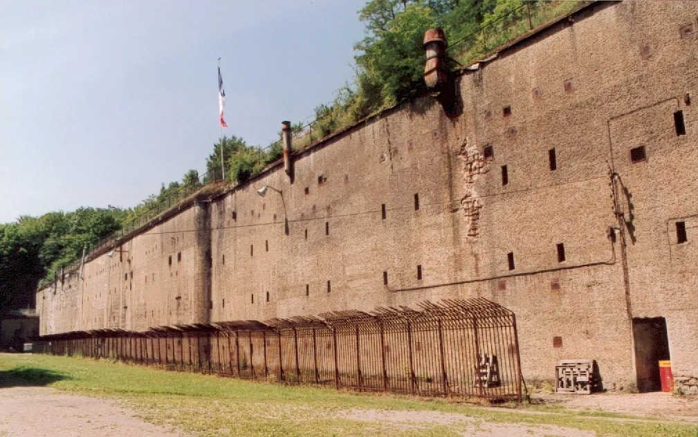 Fort de Guentrange Historic site, Grand Est28 km NW
-
Ouvrage du Bambesch Historic site, Grand Est19 km SE
-
Château de Malbrouck Historic site, Grand Est21 km N
-
Sendemast Perl - Moseltal Landmark, Grand Est22 km N
-
Haut Saint-Pierre Attraction, Grand Est25 km S
Sources & licences
Data last updated: · 2 independent sources