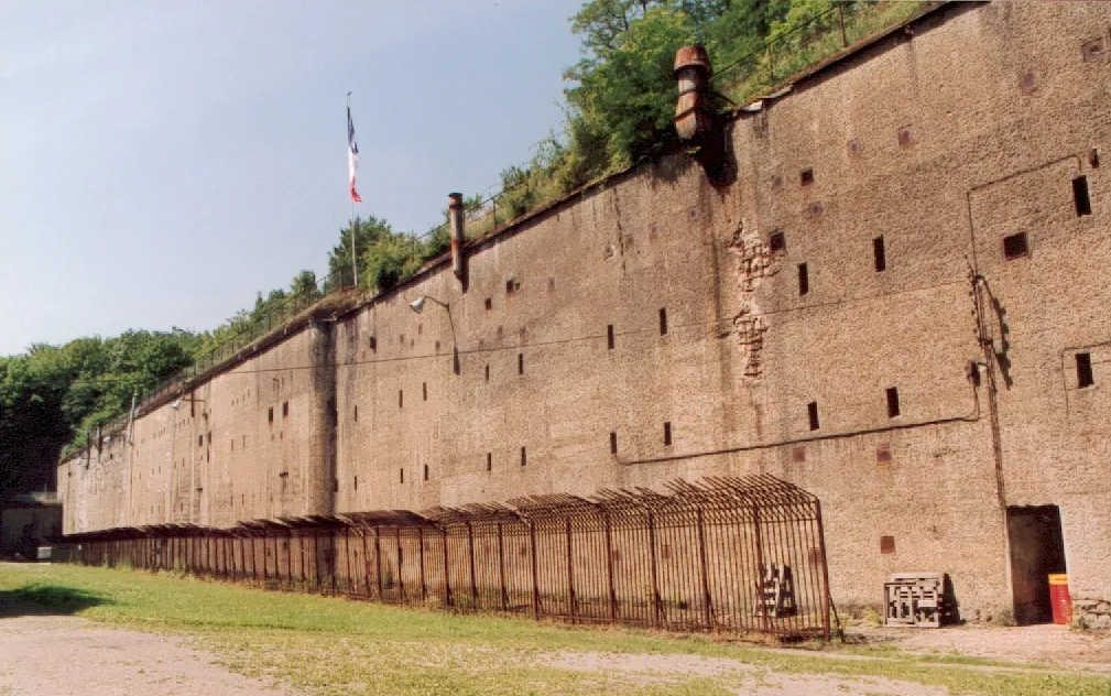
Fort de Guentrange
Located in Grand Est, France Coordinates: 49°22′34″ N 6°08′00″ E
- Local time
- UTC+01:00
- Europe/Paris · UTC+01:00
- Elevation
- 300 m
- above sea level
About Fort de Guentrange
Fort de Guentrange is a historic site. Location: Grand Est, France.
The Fort de Guentrange dominates Thionville in the Moselle department of France. It was built by Germany next to the town of the same name in the late 19th century after the annexation of the Moselle following the Franco-Prussian War. The Fort de Guentrange was part of the Moselstellung, a group of eleven fortresses surrounding Thionville and Metz to guard against the possibility of a French attack aimed at regaining Alsace and Lorraine, with construction taking place between 1899 and 1906.
Read more on Wikipedia Text: Wikipedia contributors · CC BY-SA 4.0 · shortened
At a glance
- Heritage designation
- listed in the general inventory of cultural heritage
Source: Wikidata
In comparison
- 6 sights and natural places within 10 km Tour aux Puces, Abri du Zeiterholz
Nearby attractions & nature
Everything nearby-
Tour aux Puces Landmark, Grand Est3.3 km SE
-
Abri du Zeiterholz Historic site, Grand Est4.1 km N
-
Ebingen Concentration Camp Historic site, Florange5.6 km S
-
Ouvrage Immerhof Historic site, Grand Est5.5 km N
-
Tour d'Usselskirch Landmark, Boust8.9 km NE
-
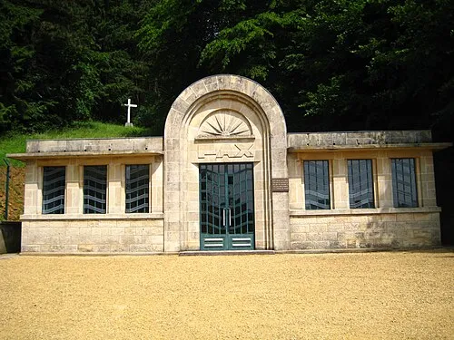 Thil Concentration Camp Historic site, Thil20 km NW
-
Zoo du Bois de Coulange Attraction, Grand Est14 km S
-
Deutsch-Oth Concentration Camp Historic site, Audun-le-Tiche17 km NW
Nearest towns and villages
-
Thionville Village, Arrondissement de Thionville3.2 km SE
-
Hettange-Grande Village, Arrondissement de Thionville3.6 km NE
-
Terville Village, Arrondissement de Thionville3.5 km S
-
Thionville Town, Thionville2.7 km SE
More sights in Grand Est
-
Luttange TV Mast Landmark, Luttange17 km SE
-
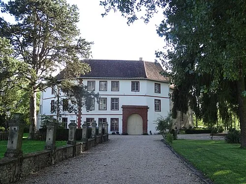 Château Saint-Sixte Historic site, Grand Est28 km SE
-
Ouvrage du Hackenberg Historic site, Grand Est18 km E
-
Sendemast Perl - Moseltal Landmark, Grand Est22 km NE
-
Abbaye de Villers-Bettnach Historic site, Saint-Hubert23 km SE
-
Château de Malbrouck Historic site, Grand Est24 km NE
Sources & licences
Data last updated: · 2 independent sources