Villers Bettnach
Located in Grand Est, France Coordinates: 49°14′01″ N 6°21′46″ E
- Elevation
- 230 m
- above sea level
- Local time
- UTC+01:00
- Europe/Paris · UTC+01:00
About Villers Bettnach
Villers Bettnach is a village. Location: Grand Est, France. Elevation: 230 m.
In comparison
- Nearest larger town: Saint-Hubert, 2 km SW
- 7 sights and natural places within 10 km Abbaye de Villers-Bettnach, La Blanche Raye
Airports nearest to Villers Bettnach
- Metz-Nancy-Lorraine Airport (ETZ) Goin 29 km
- Luxembourg-Findel International Airport (LUX) Luxembourg 45 km
- Saarbrücken Airport (SCN) Saarbrücken 54 km
Straight-line distance; airports with scheduled flights only. Source: OurAirports (public domain).
Nearby attractions & nature
Everything nearby-
Abbaye de Villers-Bettnach Historic site, Saint-Hubert0.1 km W
-
La Blanche Raye Mountain, Vry2.8 km S
-
La Fourasse Mountain, Vry3.5 km S
-
Luttange TV Mast Landmark, Luttange5.9 km NW
-
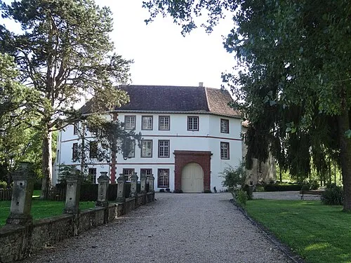 Château Saint-Sixte Historic site, Grand Est10 km NE
-
Ouvrage du Hackenberg Historic site, Grand Est13 km N
Sources & licences
Data last updated: