Tête de Perua
Located in France Coordinates: 46°07′10″ N 6°50′39″ E
- Elevation
- 2,295 m
- above sea level
- Local time
- UTC+01:00
- Europe/Paris · UTC+01:00
About Tête de Perua
Tête de Perua is a mountain. Location: France. Elevation: 2,295 m.
In comparison
- No. 1442 of 6147 mountains in France by elevation
- 160 sights and natural places within 10 km Montagne de Sagerou, Mont Sagerou
Nearest towns and villages
Nearby attractions & nature
Everything nearby-
Montagne de Sagerou Mountain, France0.3 km N
-
Mont Sagerou Mountain, Evionnaz0.9 km NE
-
Dent de Barme Mountain, Valais1.4 km N
-
Corne à Tournier Mountain, Valais1.5 km N
-
Pointe de Bellegarde Mountain, Samoëns2.3 km SW
-
Dent des Chis Vernas Mountain, Champéry1.8 km NW
-
Pointe Bourdillon Mountain, Champéry2 km NW
-
Pointe Rousse des Chambres Mountain, Samoëns2.2 km W
More nature in France
-
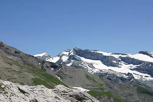 Mont Ruan Mountain, Upper Savoy4.6 km E
-
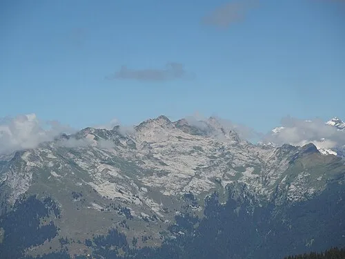 Pointe Rousse Mountain, Samoëns4.6 km SW
-
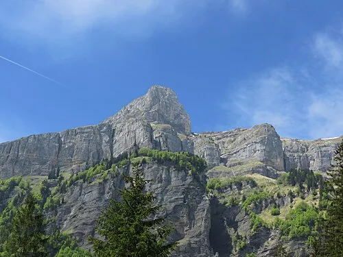 Pointe de Sans Bet Mountain, Sixt-Fer-à-Cheval3.8 km SW
-
Les Avoudrues Mountain, Sixt-Fer-à-Cheval3.2 km SW
-
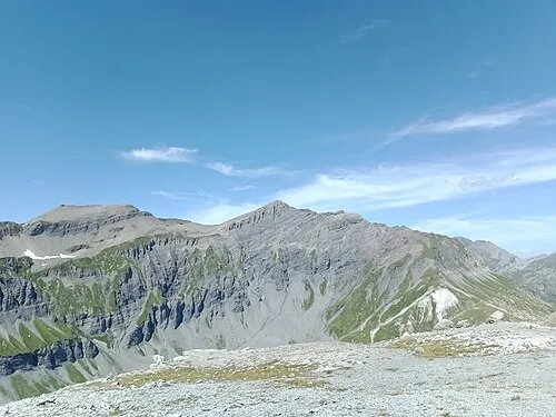 Pointe de la Finive Mountain, Auvergne-Rhône-Alpes6.3 km SE
-
Grands Fats Mountain, Samoëns4.3 km SW
Sources & licences
Data last updated: