Reintal
Located in Bavaria, Germany Coordinates: 47°26′49″ N 11°06′46″ E
- Elevation
- 861 m
- above sea level
- Local time
- UTC+01:00
- Europe/Berlin · UTC+01:00
About Reintal
Reintal is a natural site. Location: Bavaria, Germany.
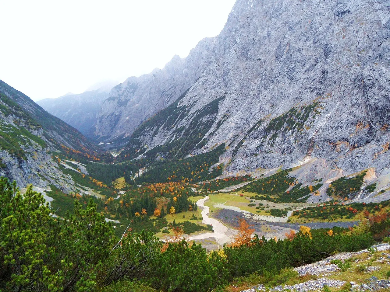
The Reintal ("Rein Valley") is the name given to the upper and lower valleys of the River Partnach between the Zugspitzplatt plateau and the Partnachklamm gorge. A hiking route to Germany's highest mountain, the Zugspitze runs through the valley. The valley was formed during the Würm Ice Age by the Reintal Glacier and then deepened by the Partnach in the post-ice age period after the retreat of the glacier to the periphery of the Schneefernerkopf mountain.
Read more on Wikipedia Text: Wikipedia contributors · CC BY-SA 4.0 · shortened
In comparison
- 158 sights and natural places within 10 km Schindeltalschrofen, Bodenlaine
Nearest towns and villages
-
Garmisch-Partenkirchen Village, Landkreis Garmisch-Partenkirchen6 km N
-
Garmisch-Partenkirchen Town, Garmisch-Partenkirchen5.2 km N
-
Grainau Village, Landkreis Garmisch-Partenkirchen7.4 km NW
-
Leutasch Municipality, Politischer Bezirk Innsbruck Land7.9 km S
-
Grainau Village, Grainau7.4 km NW
-
Rieß Village, Garmisch-Partenkirchen4.4 km NW
Nearby attractions & nature
Everything nearby-
Schindeltalschrofen Mountain, Garmisch-Partenkirchen0.3 km SE
-
Bodenlaine River, Bavaria0.4 km SW
-
Eben Wald Natural site, Bavaria1 km E
-
Antoni Wald Natural site, Bavaria1 km W
-
Keilschrofen Mountain, Garmisch-Partenkirchen1.8 km SE
-
Ferchenbach River, Bavaria2.1 km NE
-
Stuiben Wald Natural site, Bavaria2.2 km SW
-
Steilenberg Mountain, Garmisch-Partenkirchen2.4 km SE
More nature in Germany
-
Kreuzjoch Mountain, Garmisch-Partenkirchen2.7 km W
-
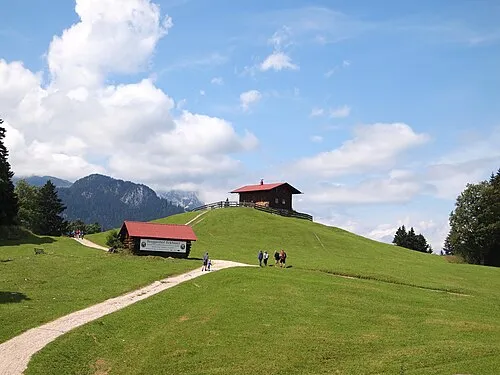 Eckbauer Mountain, Garmisch-Partenkirchen2.7 km NE
-
Eselwald Natural site, Bavaria2.7 km NE
-
Schachentorkopf Mountain, Garmisch-Partenkirchen2.7 km SE
-
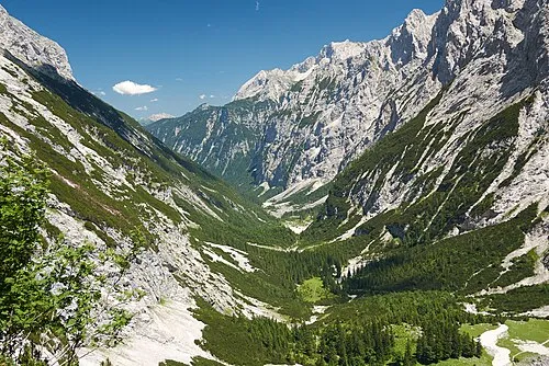 Frauenalplspitz Mountain, Garmisch-Partenkirchen3.1 km S
-
Stegerwald Natural site, Bavaria3.2 km W
Sources & licences
Data last updated: · 2 independent sources