Garmisch-Partenkirchen
Located in Landkreis Garmisch-Partenkirchen, Upper Bavaria Coordinates: 47°30′00″ N 11°06′00″ E
- Population
- 28,305
- 28.3K
- Elevation
- 698 m
- above sea level
- Local time
- UTC+01:00
- Europe/Berlin · UTC+01:00
- Places inside
- 81
- listed under Garmisch-Partenkirchen
- Airports
- INN Innsbruck Airport32 km
- FMM Memmingen Allgau Airport84 km
About Garmisch-Partenkirchen
Garmisch-Partenkirchen is a village. Location: Landkreis Garmisch-Partenkirchen, Upper Bavaria. Population: 28,305. Elevation: 698 m. The best months to visit are June–September. The nearest airport is Innsbruck Airport (32 km). Nearby sights include Kanker Bach and Partnach.
Photos of Garmisch-Partenkirchen
-
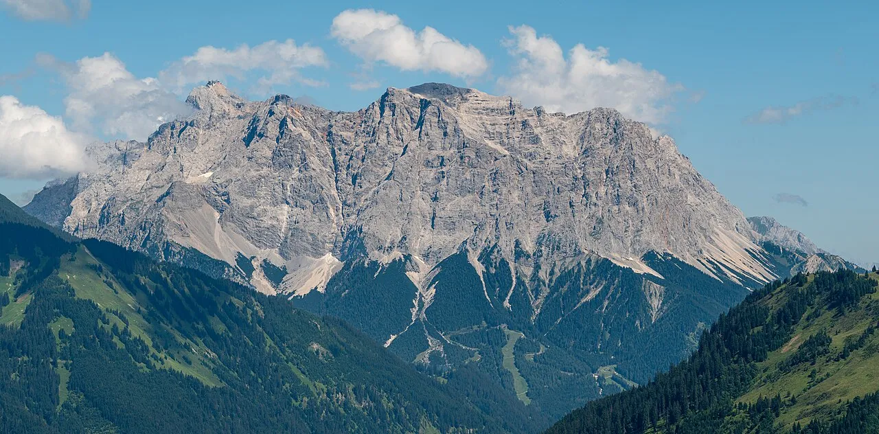
Zugspitze Tuxyso · CC BY-SA 4.0 -
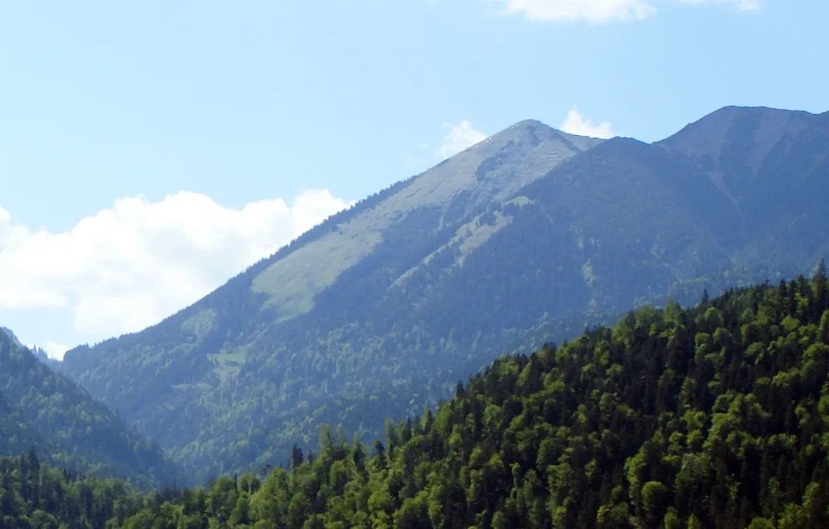
Vorder Felder-Kopf Germany-Farchant-Landscape.JPG : Rado Bahna derivative work: Svíčková · CC BY-SA 3.0 -
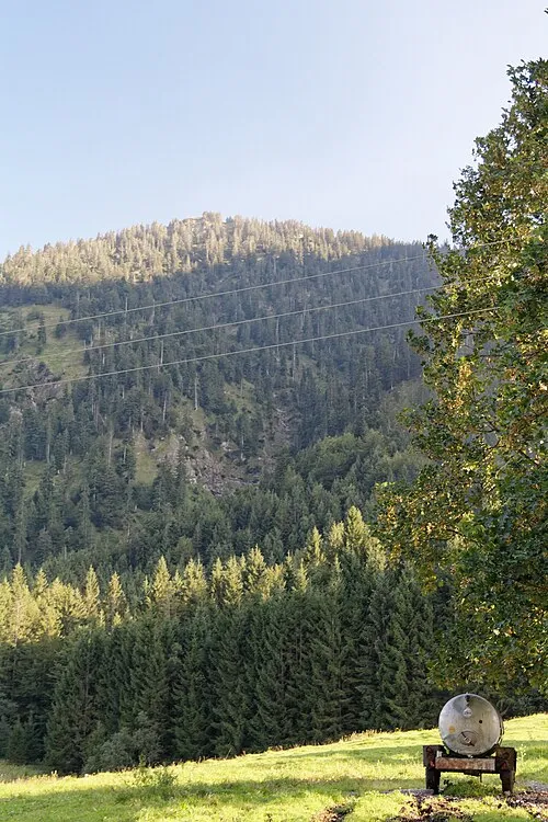
Ochsensitz Bjs · CC0 -
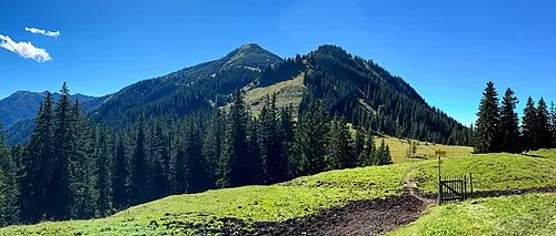
Krottenköpfel Wasquewhat · CC BY 4.0 -
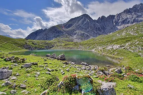
Hoher Gaif Stefan Brending · CC BY-SA 3.0 de


Climate of Garmisch-Partenkirchen
Best months for sightseeingBest months for sightseeing: June–September.
This month · November
A cold month
Day 9° · Night 2° · Rain 91 mm
- Hottest month
- July (day 22°)
- Coldest month
- January (night -2°)
- Wettest month
- July (169 mm)
- Driest month
- February (67 mm)
Bars: average monthly low and high temperature. Below: precipitation. Monthly averages for 1970–2000 at about 18 km resolution, adjusted for elevation. Highlighted months are mild and relatively dry. Source: WorldClim 2.1 (CC BY 4.0).
Show values as a table
| Month | Jan | Feb | Mar | Apr | May | Jun | Jul | Aug | Sep | Oct | Nov | Dec |
|---|---|---|---|---|---|---|---|---|---|---|---|---|
| Average high (°C) | 5° | 6° | 9° | 11° | 17° | 20° | 22° | 22° | 19° | 14° | 9° | 6° |
| Average low (°C) | -2° | -1° | 1° | 4° | 8° | 11° | 13° | 13° | 11° | 7° | 2° | 0° |
| Precipitation (mm) | 70 | 67 | 86 | 97 | 120 | 161 | 169 | 156 | 106 | 84 | 91 | 82 |
Other places to visit in this season: June July August September
How to get to Garmisch-Partenkirchen
The nearest airport is Innsbruck Airport (INN), 32 km to the southeast as the crow flies. The nearest large city is Innsbruck, 35 km to the southeast.
Airports
- Innsbruck Airport (INN) Innsbruck 32 kmsoutheast
- Memmingen Allgau Airport (FMM) Memmingen 84 kmnorthwest
- Munich Airport (MUC) Munich 108 kmnortheast
Nearby large cities
- Innsbruck Population: 132.5K 35 kmsoutheast
- Munich Population: 1.5M 79 kmnortheast
- Augsburg Population: 301.1K 98 kmnorth
- Ulm Population: 120.5K 130 kmnorthwest
- Ingolstadt Population: 120.7K 143 kmnorth
Straight-line distances; road distances are longer. Airport data: OurAirports.
Day trips from Garmisch-Partenkirchen
Within 100 km: 437 historic and cultural sites, 4,680 natural sites, 1,172 lakes, rivers and coasts.
0–25 km761 places
- Wildsee Lake 21 kmS
- Weissensee Lake 23 kmSW
- Seebensee Lake 19 kmSW
- Plansee Lake 23 kmW
25–60 km1,977 places
- Bayerisches Oberland Mountain 26 kmNE
- Schloss Hirschberg am Haarsee Historic site 36 kmN
- Zireiner See Lake 54 kmE
- Wilder See Lake 49 kmS
60–100 km3,551 places
- elf-pavlik's tent Historic site 85 kmNE
- Lai da Minschun Lake 99 kmSW
- Lai da Fasch'Alba Lake 96 kmSW
- Lais da Rims Lake 99 kmSW
Straight-line distances.
Places in Garmisch-Partenkirchen
81 placesBar: population relative to the most populous place in this list.
Cities & villages6
- Burgrain · Village
- Garmisch · Neighbourhood
- Griesen · Village
- Kaltenbrunn · Village
- Partenkirchen · Neighbourhood
- Rieß · Village
Mountains & nature47
- Alpspitze · Mountain
- Brandjoch · Mountain
- Brunntal-Kopf · Mountain
- Eckbauer · Mountain
- Eselberg · Mountain
- Frauenalplkopf · Mountain
- Frauenalplspitz · Mountain
- Grasberg · Mountain
- Großer Kirchturm · Mountain
- Gudiberg · Mountain
- Hinterreintalschrofen · Mountain
- Hirschbichlkopf · Mountain
- Hirschbichlrücken · Mountain
- Hirschbühel · Mountain
- Hochblassen · Mountain
- Hoher Gaif · Mountain
- Hoher Gaifkopf · Mountain
- Hoher Ziegspitz · Mountain
- Hohe Ziegspitze · Mountain
- Hundsstall Kopf · Mountain
- Innere Höllentalspitze · Mountain
- Jungfernkarköpfe · Mountain
- Keilschrofen · Mountain
- Kirchturm · Mountain
- Kleiner Hundstallkopf · Mountain
- Kleiner Kirchturm · Mountain
- Kochelberg · Mountain
- Kramerspitz · Mountain
- Kreuzeck · Mountain
- Kreuzjoch · Mountain
- Krottenköpfel · Mountain
- Lausbichel · Mountain
- Laus-Bühel · Mountain
- Leutascher Dreitorspitze · Mountain
- Mitterkopf · Mountain
- Ochsenberg · Mountain
- Ofenberg · Mountain
- Partenkirchner Dreitorspitze · Mountain
- Rauheck · Mountain
- Rauhenstein · Mountain
- Rießerkopf · Mountain
- Roßkarkopf · Mountain
- Rotenkopf · Mountain
- Schachentorkopf · Mountain
- Schafkopf · Mountain
- Scharfeck · Mountain
- Schelleck · Mountain
Heritage & sights6
- AFN-Mittelwellensender Garmisch-Partenkirchen · Landmark
- Garmisch Nebenkirche St. Martin · Attraction
- Garmisch-Partenkirchen Concentration Camp · Historic site
- Maria Himmelfahrt · Attraction
- Olympia-Skistadion · Landmark
- Ruine Werdenfels · Historic site
Nearby attractions & nature
Everything nearby-
Kanker Bach River, Bavaria0.5 km S
-
Partnach River, Bavaria0.9 km W
-
Lahnenwiesgraben River, Bavaria1.7 km N
-
Kramer Mountain, Bavaria3.2 km W
-
Markgraben River, Bavaria2.2 km NE
-
Schloßwald Natural site, Bavaria2.6 km NW
Other cities and towns in Landkreis Garmisch-Partenkirchen

Sources & licences
Data last updated: