Oberammergau
Located in Landkreis Garmisch-Partenkirchen, Upper Bavaria Coordinates: 47°35′51″ N 11°03′55″ E
- Population
- 5,132
- 5.1K
- Elevation
- 840 m
- above sea level
- Local time
- UTC+01:00
- Europe/Berlin · UTC+01:00
- Places inside
- 13
- listed under Oberammergau
- Airports
- INN Innsbruck Airport43 km
- FMM Memmingen Allgau Airport76 km
About Oberammergau
Oberammergau is a village. Location: Landkreis Garmisch-Partenkirchen, Upper Bavaria. Population: 5,132. Elevation: 840 m. The best months to visit are June–September. The nearest airport is Innsbruck Airport (43 km). Nearby sights include Große Laine and Kleine Ammer.
Photos of Oberammergau
-
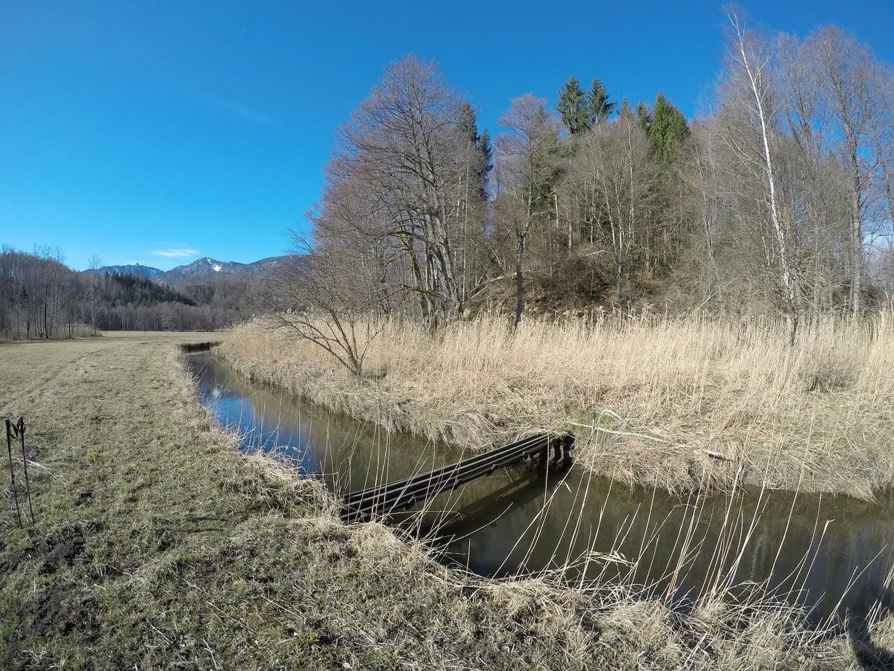
Wiesmahdkögel Wasquewhat · CC BY-SA 4.0 -
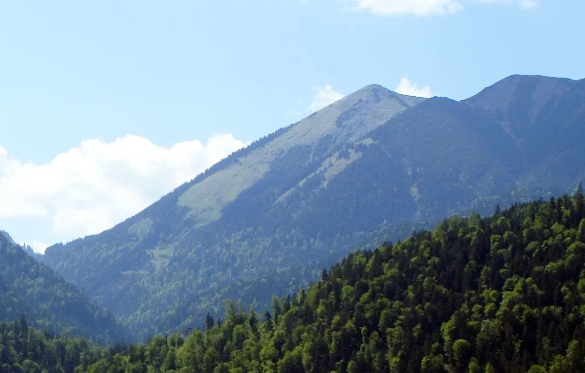
Vorder Felder-Kopf Germany-Farchant-Landscape.JPG : Rado Bahna derivative work: Svíčková · CC BY-SA 3.0 -
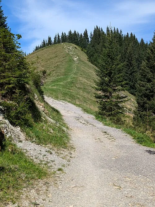
Vorderes Hörnle Molgreen · CC BY-SA 4.0 -
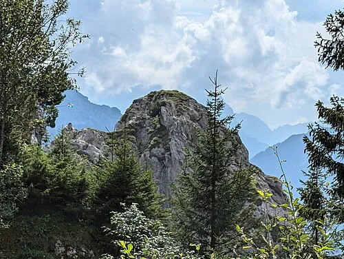
Pürschling Kopf Molgreen · CC BY-SA 4.0 -
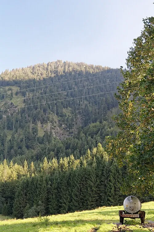
Ochsensitz Bjs · CC0


Climate of Oberammergau
Best months for sightseeingBest months for sightseeing: June–September.
This month · November
A cold month
Day 7° · Night 0° · Rain 90 mm
- Hottest month
- July (day 21°)
- Coldest month
- January (night -3°)
- Wettest month
- July (181 mm)
- Driest month
- January (66 mm)
Bars: average monthly low and high temperature. Below: precipitation. Monthly averages for 1970–2000 at about 18 km resolution, adjusted for elevation. Highlighted months are mild and relatively dry. Source: WorldClim 2.1 (CC BY 4.0).
Show values as a table
| Month | Jan | Feb | Mar | Apr | May | Jun | Jul | Aug | Sep | Oct | Nov | Dec |
|---|---|---|---|---|---|---|---|---|---|---|---|---|
| Average high (°C) | 3° | 4° | 8° | 11° | 16° | 19° | 21° | 21° | 17° | 13° | 7° | 4° |
| Average low (°C) | -3° | -3° | -1° | 2° | 7° | 10° | 12° | 12° | 9° | 5° | 0° | -2° |
| Precipitation (mm) | 66 | 66 | 82 | 97 | 126 | 174 | 181 | 169 | 112 | 83 | 90 | 78 |
Other places to visit in this season: June July August September
How to get to Oberammergau
The nearest airport is Innsbruck Airport (INN), 43 km to the southeast as the crow flies. The nearest large city is Innsbruck, 45 km to the southeast.
Airports
- Innsbruck Airport (INN) Innsbruck 43 kmsoutheast
- Memmingen Allgau Airport (FMM) Memmingen 76 kmnorthwest
- Munich Airport (MUC) Munich 100 kmnortheast
Nearby large cities
- Innsbruck Population: 132.5K 45 kmsoutheast
- Munich Population: 1.5M 71 kmnortheast
- Augsburg Population: 301.1K 87 kmnorth
- Ulm Population: 120.5K 120 kmnorthwest
- Ingolstadt Population: 120.7K 133 kmnorth
Straight-line distances; road distances are longer. Airport data: OurAirports.
Day trips from Oberammergau
Within 100 km: 468 historic and cultural sites, 4,557 natural sites, 1,193 lakes, rivers and coasts.
0–25 km758 places
- Bayerisches Oberland Mountain 24 kmE
- Plansee Lake 25 kmSW
- Igel See Lake 25 kmS
- Schönjöchl Mountain 19 kmSW
25–60 km1,974 places
- Schloss Hirschberg am Haarsee Historic site 26 kmNE
- Wildsee Lake 32 kmS
- Zireiner See Lake 58 kmE
- Wilder See Lake 59 kmS
60–100 km3,486 places
- elf-pavlik's tent Historic site 77 kmNE
- Kapfkopf Mountain 75 kmSW
- Vesilspitze Mountain 94 kmSW
- Bürkelkopf Mountain 87 kmSW
Straight-line distances.
Places in Oberammergau
13 placesBar: population relative to the most populous place in this list.
Mountains & nature12
- Brunnberg · Mountain
- Großer Aufacker · Mountain
- Gschwandkopf · Mountain
- Hinterer Rappenkopf · Mountain
- Kopfel · Mountain
- Laber · Mountain
- Laberberg · Mountain
- Manndlköpfe · Mountain
- Schaffelberg · Mountain
- Sonnenberg · Mountain
- Vorderer Rappenkopf · Mountain
- Zahn · Mountain
Nearby attractions & nature
Everything nearby-
Große Laine River, Bavaria0.6 km NW
-
Kleine Ammer River, Bavaria1.7 km S
-
Steckenberg Mountain, Unterammergau2.8 km W
-
Rehbreinkopf Mountain, Schwaigen3.2 km NE
-
Kleine Ammerquellen Natural site, Bavaria2.8 km S
-
Kleiner Aufacker Mountain, Schwaigen3.6 km NE
Other cities and towns in Landkreis Garmisch-Partenkirchen
-
Farchant Village, Landkreis Garmisch-Partenkirchen8.1 km SE
-
Bad Kohlgrub Village, Landkreis Garmisch-Partenkirchen8 km N
-
Schwaigen Village, Landkreis Garmisch-Partenkirchen6.7 km E
-
 Grafenaschau Village, Schwaigen7 km NE
-
Bad Kohlgrub Village, Bad Kohlgrub7.8 km N
-
Farchant Village, Farchant8.2 km SE
Sources & licences
Data last updated: