Schutter
Located in Bavaria, Germany Coordinates: 48°45′28″ N 11°25′25″ E
- Elevation
- 368 m
- above sea level
- Local time
- UTC+01:00
- Europe/Berlin · UTC+01:00
About Schutter
Schutter is a river. Location: Bavaria, Germany.
In comparison
- 37 sights and natural places within 10 km Caponier 94, Mynzberg Gate
Nearest towns and villages
-
Ingolstadt Village, Kreisfreie Stadt Ingolstadt1.2 km NW
-
Kreisfreie Stadt Ingolstadt Municipality, Upper Bavaria1.1 km W
-
Ingolstadt City, Ingolstadt0.8 km N
-
Haunwöhr Village, Ingolstadt2.1 km SW
-
Lenting Village, Landkreis Eichstätt5.7 km NE
-
Kothau Village, Ingolstadt2.1 km SE
Nearby attractions & nature
Everything nearby-
Caponier 94 Historic site, Ingolstadt<0.1 km NW
-
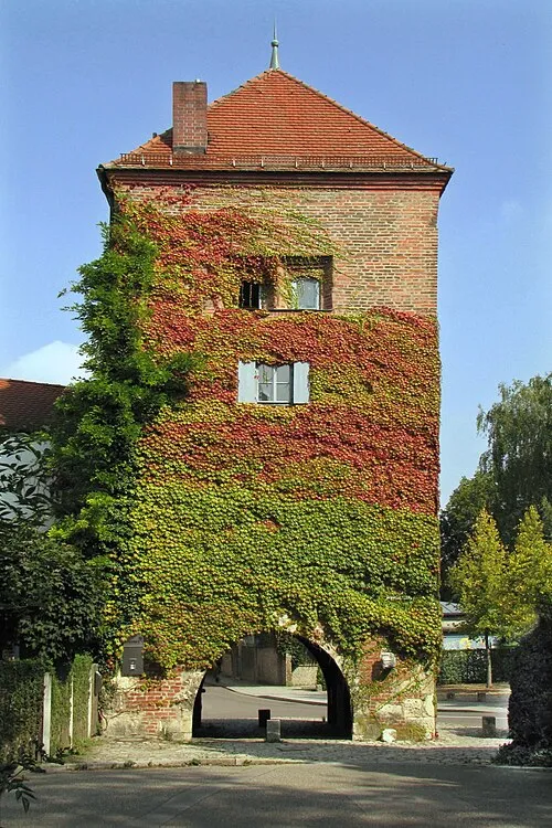 Mynzberg Gate Historic site, Ingolstadt0.3 km NE
-
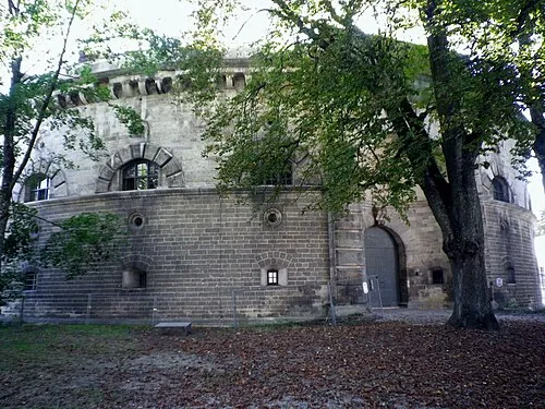 Baur Redoubt Historic site, Ingolstadt0.4 km E
-
Pocket Tower Historic site, Ingolstadt0.5 km NW
-
Ravelin 79 Historic site, Ingolstadt0.5 km NW
-
Tilly Reduit Historic site, Ingolstadt0.7 km NE
-
Duke's Chest Castle Historic site, Ingolstadt0.7 km NE
-
Liebfrauenmünster Ingolstadt Attraction, Ingolstadt0.8 km N
Sources & licences
Data last updated: