Stadelgraben
Located in Bavaria, Germany Coordinates: 47°35′00″ N 12°47′00″ E
- Elevation
- 1,773 m
- above sea level
- Local time
- UTC+01:00
- Europe/Berlin · UTC+01:00
About Stadelgraben
Stadelgraben is a river. Location: Bavaria, Germany.
In comparison
- 78 sights and natural places within 10 km Gernhorn, Drei Jäger
Nearest towns and villages
-
Lofer Municipality, Zell am See District6 km W
-
Mayrberg Village, Lofer4.2 km NW
-
Hintertal Village, Weissbach bei Lofer4.5 km S
-
Scheffsnoth Village, Lofer5.6 km W
-
Au Village, Lofer5.3 km W
-
Sankt Martin bei Lofer Municipality, Zell am See District7.2 km SW
Nearby attractions & nature
Everything nearby-
Gernhorn Mountain, Austria<0.1 km N
-
Drei Jäger Mountain, Carinthia<0.1 km N
-
Wagendrischelhorn Mountain, Germany1.9 km N
-
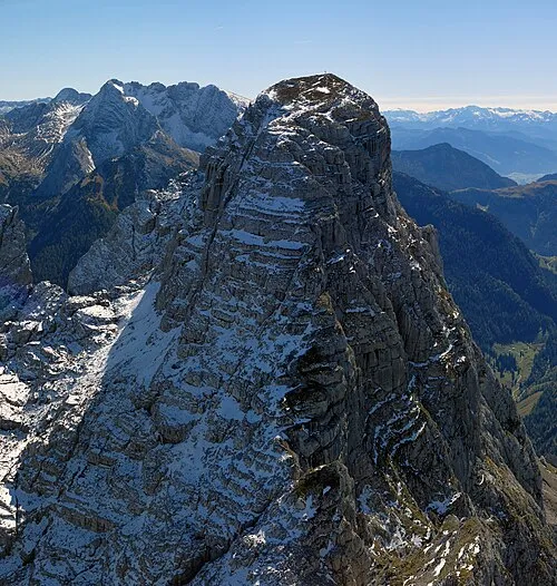 Stadelhorn Mountain, Ramsau b.Berchtesgaden1.4 km NE
-
Prünzlkopf Mountain, Austria3.1 km NE
-
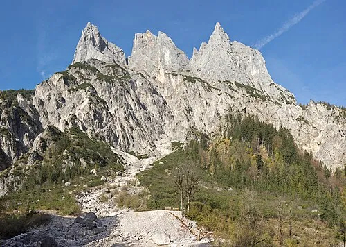 Mühlsturzhorn Mountain, Ramsau b.Berchtesgaden1.6 km NE
-
Leimbichlhorn Mountain, Sankt Martin bei Lofer1.9 km S
-
Karlkogel Mountain, Bavaria5.1 km SE
Sources & licences
Data last updated: